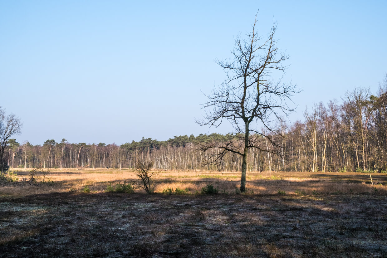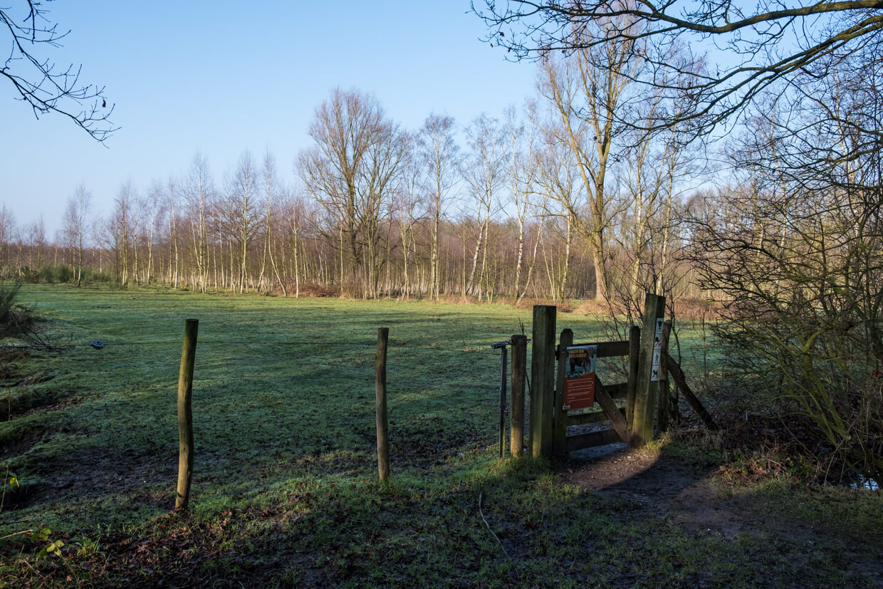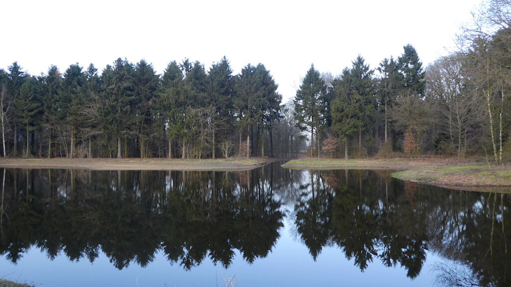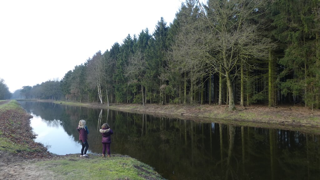
This trail goes through the Stropersbos a natural pearl with stately drives, valuable alder forest, open fields with heath and large grazers! The second part of the walk goes through the nature reserve De Wilde Landen where again meadows, tree meadows with poplars and fresh water lakes determine the landscape.
Distance: 13 km.
Time: 3h30.
Grade: Moderate.
Type: Circular.
Gps Track: Yes.
Route description: Yes.
Wheelchair: Not suitable.
Dog: Allowed.
Height gain: Flat.
Trail: Paved and unpaved.
Marking: See PDF route description.
Hiking shoes recommended.
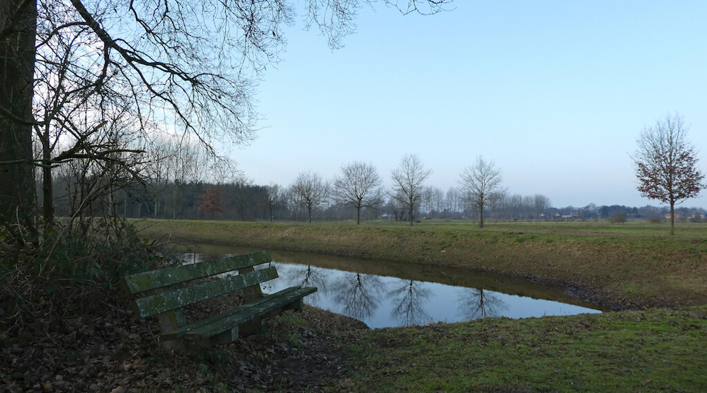
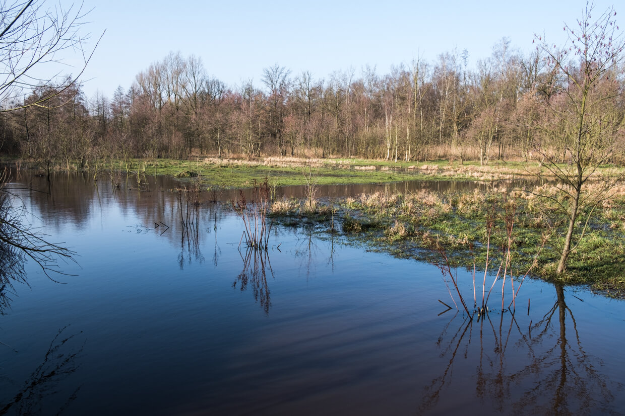
Wilde Landen.
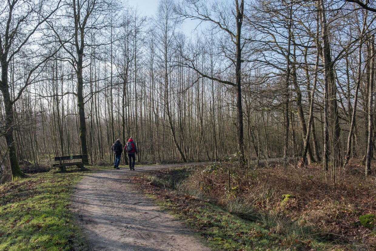
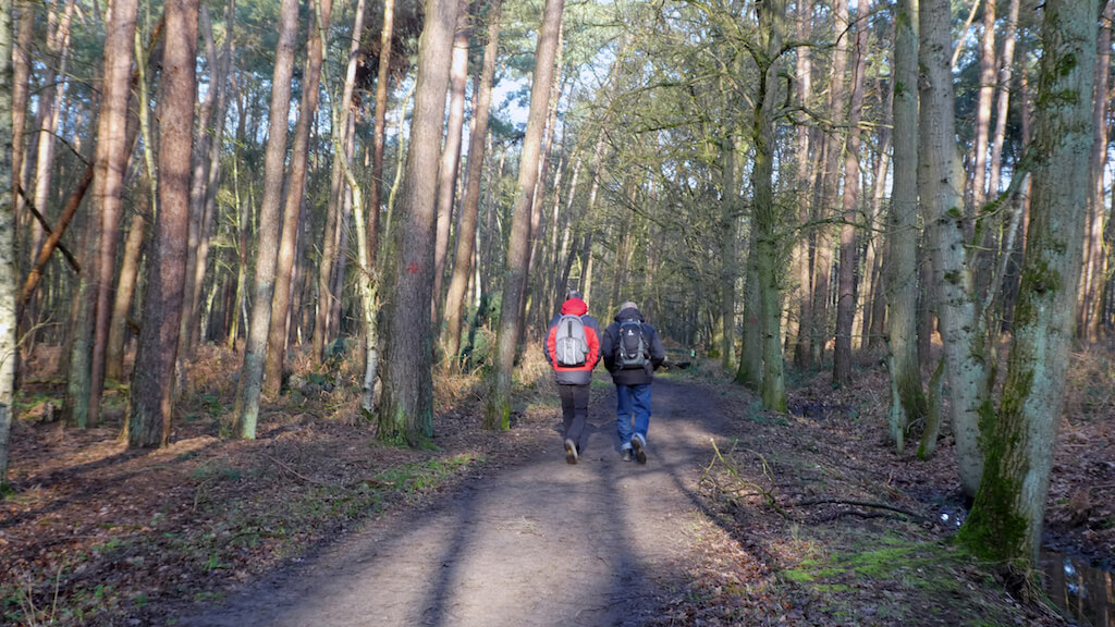
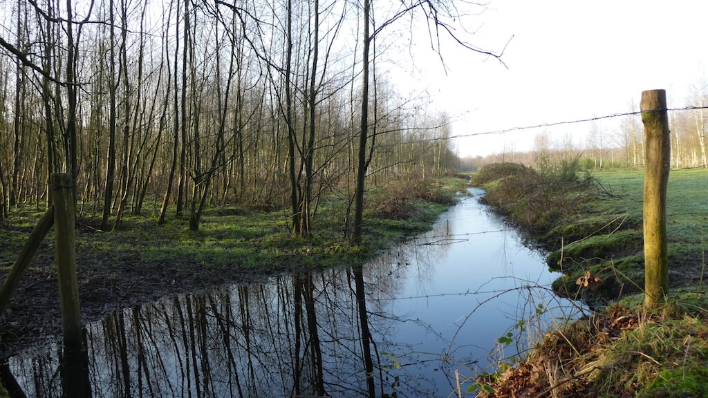
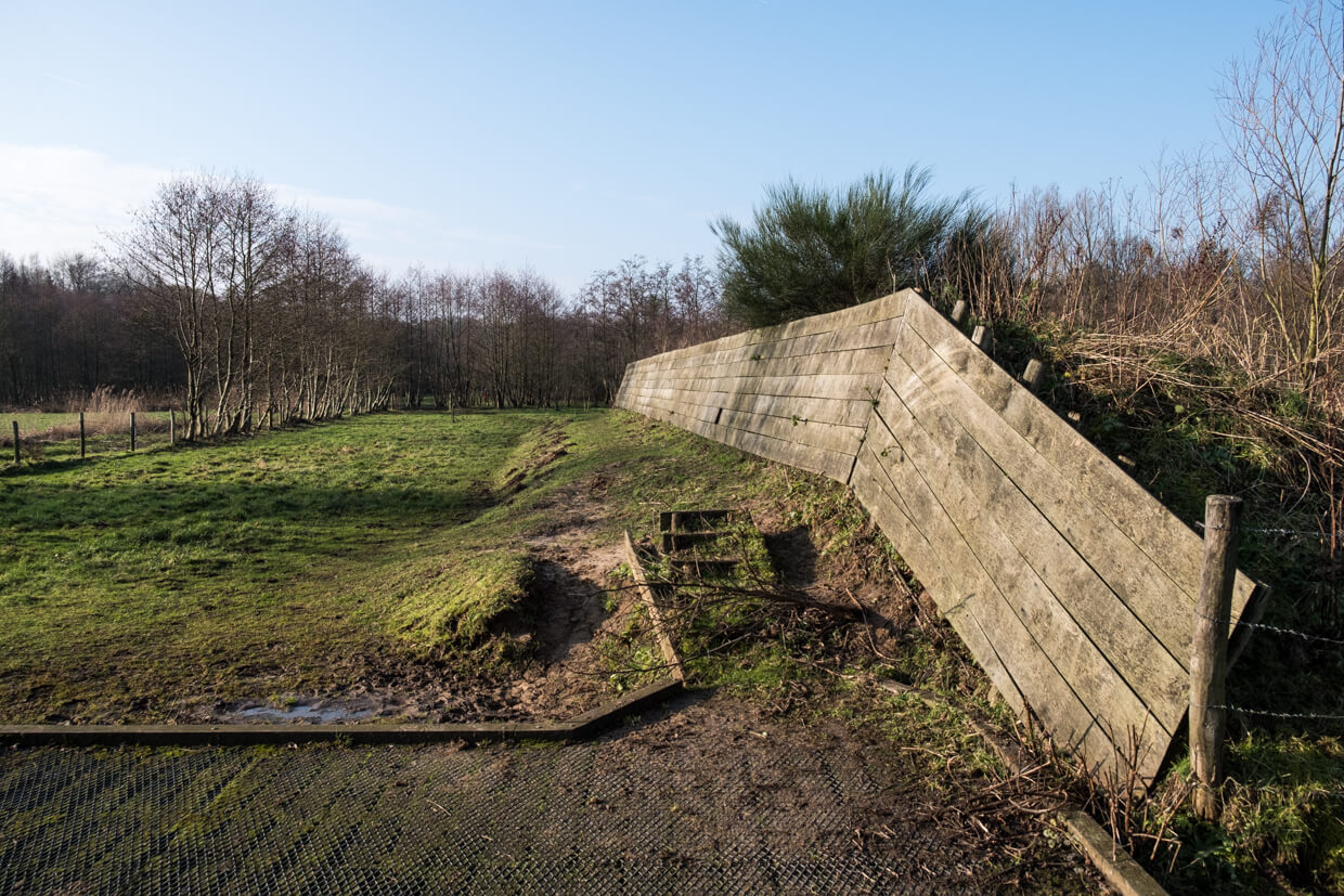
The walk immediately goes into the Stropersbos. The Linie, which now serves as a drainage stream, was built between 1701-1702 by Marquis Bedmar to protect the "Spanish" Netherlands against the Dutch Republic. Opposite the forest house, where a colony of bats lives, you come to the remains of the defensive wall and the now invisible Fort Sint-Jan. Crossing the N403 will ask some patience but you will fast forget the noise. You go towards the hamlet "Hellestraat" and soon you enter the nature reserve Wilde Landen. This area consists of meadows, forest meadows with poplars and fresh water lakes. This area is part of the Sint-Jan water collection area. You cross the N403 again and your route continues through the Stropersbos to get back to the starting point.
Download PDf for route description.
Some paths can ve soggy.
POI 1 - Stropersbos and The Linie.
The Stropersbos nature reserve with an area of 478ha is a remnant of the King's Woods owned by the Counts of Flanders. This natural pearl has stately drifts, valuable alder forests and open spaces with heather. The Line, which now serves as a drainage stream for the Stropersbos, was built between 1701-1702 by Marquis Bedmar to protect the "Spanish" Netherlands against the Dutch Republic. This region was the scene of many historical battles. The line consisted of a landscaped defense canal that was more than 10 meters wide in some places. The earth from this canal was raised to an earthen wall of sometimes 3 meters high. Behind it, a wickerwork was built with willow twigs to protect the shooters.
Natuur en Bos.
www.natuurenbos.be.
POI 2 - Fort Sint-Jan.
The Spaniards built this fort between 1585 and 1590 during the Eighty Years' War (1568 - 1648). In 1702 the Spanish War of Succession starts and the Republic of the United Netherlands starts a line of defense from Nieuwpoort to Huy. Fort Sint-Jan was part of this line. Unfortunately, you will not notice much of this Fort today.
No extra information.
POI 3 - Oude Landen.
In 2009, Zeeland Landscape took over the management of the water extraction area between Clinge and Heikant from Evides. The water-winning company Evides is still owner; the water extraction function was retained and in addition nature and recreational values were developed. There are three areas: Around Clinge, forests can be found. Most of them consist of exotic trees that have been planted for forestry. The forests are monotonous and the plantings are close together. However, there are also old summer oaks and beech trees. South of Sint Jansteen the area is smaller: avenues with old trees, small meadows that used to be used as rootjack for flax processing. Farmers from the area brought the flax to the area after the harvest to let it rot. The outer layer of the flax stem was destroyed by the reed and could be used in the linen industry. The small-scale fields were sown with rye. Little is currently found in flax and rye cultivation in the area. De Wilde Landen, south of Heikant. This area consists of meadows and tree meadows with poplars. Here are some puddles of fresh water wich keep water all year round.
Het Zeeuwse Landschap.
www.hetzeeuwslandschap.nl.