
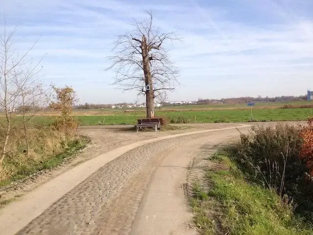
Walking route
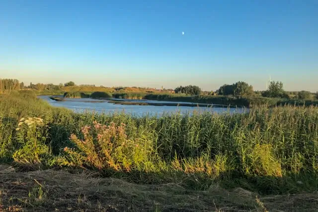
Kruibeek Creek.


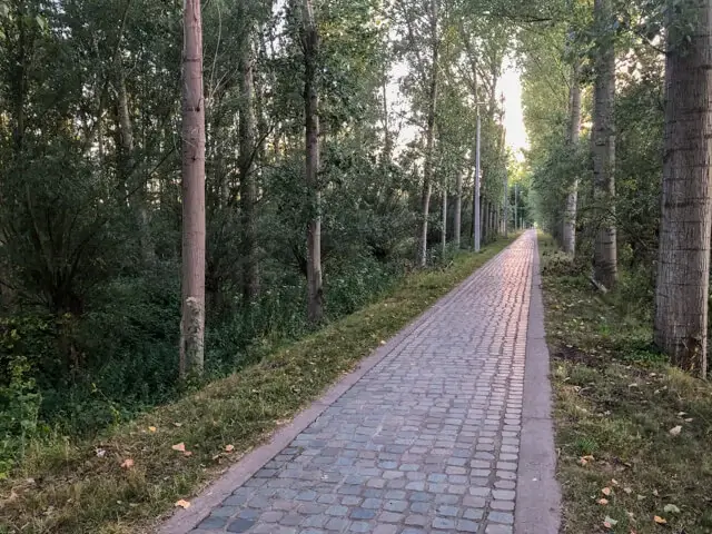
This walk takes you from picturesque Basel through alder groves to the Kruibeek creek. Then you follow the Scheldt dike with a beautiful view on the wetlands, the flood area between the Barbier stream and the Kalle stream. From the ferry Basel - Hemiksem you walk in the direction of the castle of Wissekerke.
Distance: 7 km.
Time: 2h00.
Grade: Easy.
Type: Circular.
Gps Track: Yes.
Route description: No.
Wheelchair: Not suitable.
Dog: Allowed on leach.
Height gain: Flat.
Trail: Paved and unpaved.
Marking: Hexagon.
Hiking shoes recommended.
Barbierbeek.
Basel is placed in the list of the fifty most beautiful villages in Flanders. Neolithic finds prove that people lived here already in prehistoric times. Later it was successively the Celts, the Romans and the Vikings who left their mark here. St. Peter's Church on the picturesque Koningin Astridplein is the starting point of this route. The newly constructed ring dike protects the residential areas of Kruibeke, Basel and Rupelmonde and ensures that the Scheldt water that flows in remains within the boundaries of the controlled flood area. The six-kilometer-long flood barrier also forms the boundary of the area. The Barbierbeek originates in Sint-Niklaas and for many years formed the natural border between the villages of Kruibeke and Basel. The watercourse flowed straight through the polders and flowed into the Scheldt via the Kruibeekse creek. During heavy rainfall, the stream often overflowed, which in the past caused considerable flooding. During the construction of the flood area, the Barbierbeek was given a new, wider bed. A waiting basin on the edge of Basel leads the water through tubes through the ring dike, where the Barbierbeek takes it through the polder via the drainage structure in Kruibeke to the Scheldt.
Download PDF for hiking brochure and map.
Well marked.
You must take cyclists into account on the Scheldt dike.


Walks East Flanders.


