Regional Path
Laarbeek Path

Laarbeek Path
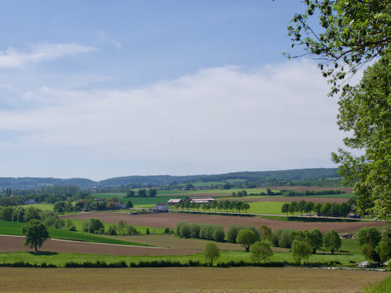
The Laarbeek path is an approximately 75 kilometer long multi-day hike through the territory of the municipality of Laarbeek Waterpoort van de Peel, divided into five stages. The municipality is formed by four villages: Beek en Donk, Aarle-Rixtel, Lieshout and Mariahout. The multi-day walking tour goes through the center of the municipality, on and along the edge.
Water gate of the Peel.
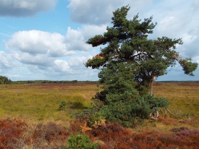
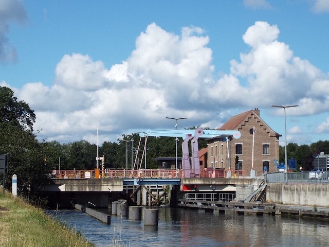
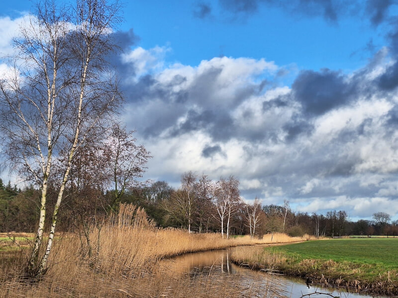
In stage two the path goes slightly over the edge to avoid a loop in the Molenheide. In the center of the municipality, the Goorloop brook is followed several times and the walking tour goes through the hamlet of Het Laar, among other things this brook and the hamlet Het Laar between the four villages have resulted in the name Laarbeek. The municipality, on the border of the Meierij and the Peel, is, as the term Waterpoort van de Peel already indicates, a water-rich municipality with the Zuid-Willemsvaart canals with a passing harbor and the Wilhelmina Canal within the municipality. Not only the canals but also the streams the Aa and the aforementioned Goorloop, but also the smaller streams such as the Schevelingse Loop, Heieindse Loop, the Ginderdoorse Loop and the Donkervoortse Loop flow through the municipality, and water features and fens complete the term Waterpoort. Laarbeek is a real water municipality, so during the multi-day walking tour you will pass bridges several times. The term gateway to the Peel is derived from the fact that the municipality is located on the edge of the Peel. The path is divided into five stages with the starting point and end point being the center of the towns, where Beek en Donk, like Aarle-Rixtel, is a twin village, with the difference that Beek en Donk has two centers, each with its own church building. A twin village is the designation of two villages that originated close to each other with different names. The first stage starts in the center of the Beek and the last, the fifth stage, starts at the Donk and then ends in the center of Beek. The Beek center and the Donk center are separated by a green strip containing a music garden. Since 2003, the new town hall of the newly formed municipality of Laarbeek has been located in this strip.
Other Regional Paths.