
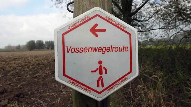
Walking route
Vossenwegel.


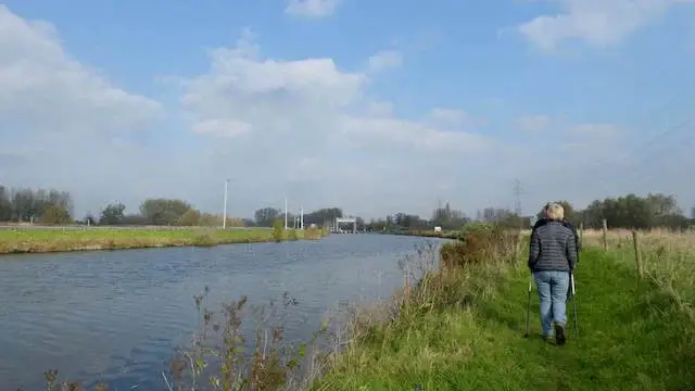
This route in the Beneden-Dender nature reserve goes through The Wiestermeers, which is part of the Dender valley between Aalst and Dendermonde. After the lock on the Dender it goes towards Denderbelle on the edge of the Bellebroek nature reserve. Via a detour through the Hannaerden, a swampy area in the Pasbeek valley, it goes back to the starting point.
Distance: 11 km.
Time: 3h30.
Grade: Easy.
Type: Circular.
Gps Track: Yes.
Route description: No.
Wheelchair: Not suitable.
Dog: Allowed on leach.
Height gain: Flat.
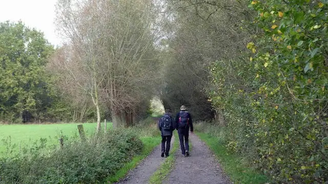
Trail: Paved and unpaved.
Marking: White hexagon with red text.
Hiking shoes recommended.
Land along the roman road.
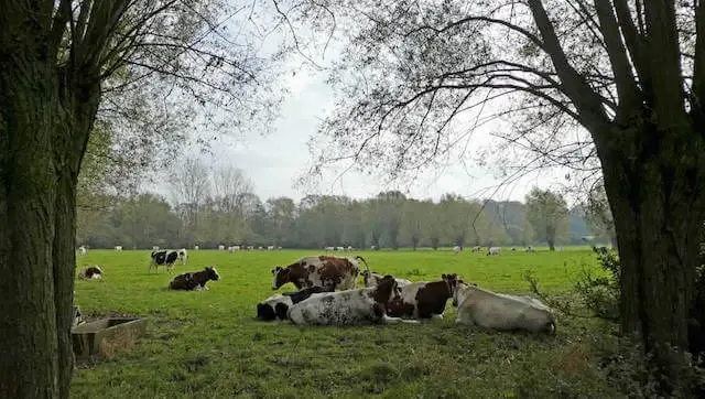
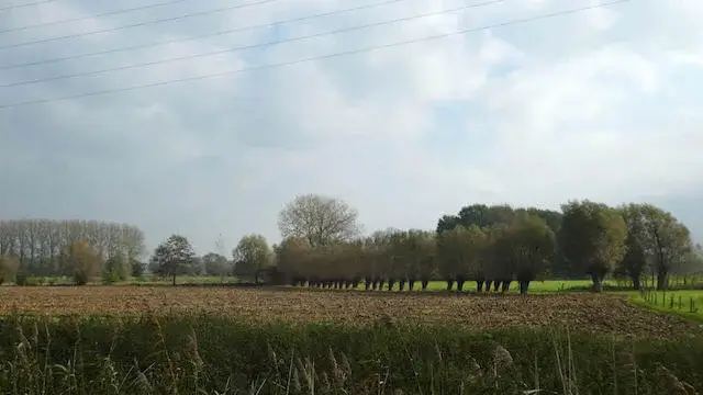
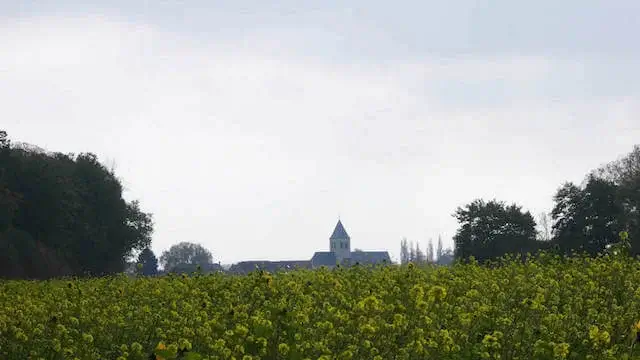
The Vossenwegel route goes through the Beneden-Dender nature reserve. The first part goes through De Wiestermeers which is part of the Dender valley between Aalst and Dendermonde. The Dender has been canalized here since 1769. You will find numerous cut-off old Dender arms, such as the Oude Dender or Grote Beek. Dotter grasslands alternate with alder forest in the valley. The landscape is very valuable here with many beautiful, intact rows of pollard willows, but also pollard and even oak. A few small forests can boast a rich spring flora. The ditch grasshopper is a rare animal, but the Wiestermeers still offers him a home. After the lock on the Dender it goes towards Denderbelle on the edge of the Bellebroek nature reserve. Denderbellebroek is a humid low-lying area with mainly hay land. It is a very open area with a border area of poplar and alder forests. The area is intersected by numerous large and small streams. With high water levels in Dender and flooding, the grounds are used as a pot polder. Until the early 1980s, Denderbellebroek enjoyed great respect among ornithologists and botanists. The moist hay lands housed rare breeding birds for the region, such as the papa and the quail king. Due to eutrophication, acidification and, above all, desiccation, the land had to lose some of its former glory. When you get through the center of Denderbelle it goes back towards the Dender. After a small part on the dike you turn to an old Dender arm. Eventually you have the church of Wieze back in sight but you are now taking a detour along the Hannaerden. Hannaerden is located in a swampy area in the Pasbeek valley. In the past, a jungle of dense vegetation grew here. The Pasbeek and other streams cut into the landscape on the way to the Dender. Lower parts remained soggy throughout the year. Ponds remained standing after every flooding of the Dender. The rainwater accumulated after every heavy shower. The hamlet of Wieze was developed along the Roman road from Aalst to Baasrode. That old road is still the central axis in the Wieze road network. The name Hannaerden or Aan-earthen would mean "land along the road". After this detour you will return to the center of Wieze.
Well marked.
Waterproof footwear in rainy weather or after heavy rain.
POI 1 - Nature Reserve Beneden-Dender.
The Dender has been canalized in Wiestermeersch since 1769. You will find numerous cut-off old Dender arms, such as the Oude Dender or Grote Beek. The variation of plants is often a reflection of the soil. The bottom in Wiestermeers consists of a thick layer of clay. It was deposited when the Dender was still flowing through the valley. More recent deposits contain loam. Sand was also accumulated, coming from drifting sand hills nearby. This ensures a complex collection of soil types. In addition, seepage water also flows through the area. This is mineral-rich water that greatly influences plant diversity. In the Hannaerden, a jungle of dense vegetation grew here. The Pasbeek and other streams cut into the landscape on the way to the Dender. Lower parts remained soggy throughout the year. Ponds remained full of water after every flooding of the Dender. The rainwater accumulated after every heavy shower. The hamlet of Wieze was developed along the Roman road from Aalst to Baasrode. That old road is still the central axis in the Wieze road network. The name Hannaerden or Aan-earthen would mean "land along the road". The Denderbellebroek is a very open area, with a border zone of poplar and alder forests. The area is intersected by numerous large and small streams. With high water levels in Dender and flooding, the land is used as a pot polder. Until the early 1980s, Denderbellebroek enjoyed great respect among ornithologists and botanists. The moist hay islands housed rare breeding birds for the region, such as the papa and the quail king. Due to eutrophication, acidification and, above all, desiccation, the trousers had to lose some of its former glory.
Additional information:
www.natuurpunt.be.


Walks East Flanders.


