
Walking route
Drongengoed forest.


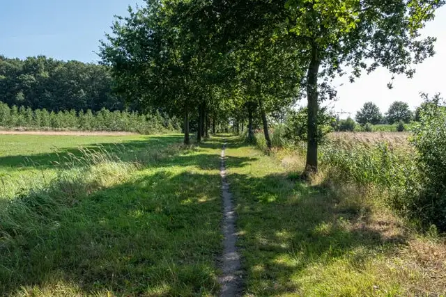
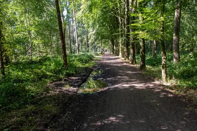
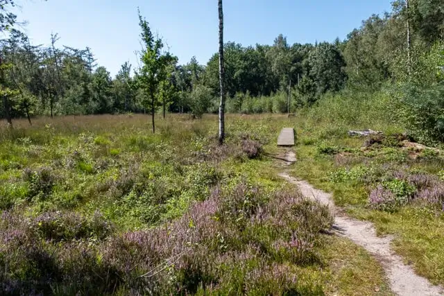
The first part of the route you walk through the Maldegemveld, a nature reserve where Natuurpunt restores the original heathland landscape. The result is a special piece of green that is reminiscent of the Hoge Venen. The second part goes through the Drongengoed, the largest contiguous forest area in East Flanders.
Distance: 10 km.
Time: 2h30.
Grade: Easy.
Type: Circular.
Gps Track: Yes.
Route description: Yes.
Wheelchair: Not suitable.
Dog: Allowed on leach.
Height gain: Flat.
Trail: 96% unpaved.
Marking: Walking nodes.
Hiking shoes recommended.
Meetjesland forests.
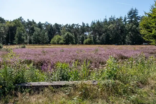
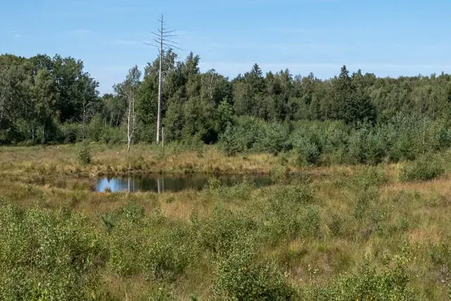
From the parking you quickly walk into the Maldegemveld nature reserve, along beautiful paths and footpaths you meander through this patchwork of purple heather spots and oak-birch forests. The wooden paths are laid out to save you wet feet. You might come across one of the fallow deer or galloway cattle that graze the area. Then you walk with a detour to the Drongengoed, where forest plays the leading role, stately beech-driven but also beautiful forest paths take you to the Drongengoedhoeve. There is a good chance that a deer crosses your path. From the farm it goes back in the direction of the starting point.
Download PDF for walking nodes to follow.
Waterproof footwear in rainy weather or after heavy rain.
POI 1 - Nature Reserve Maldegemveld.
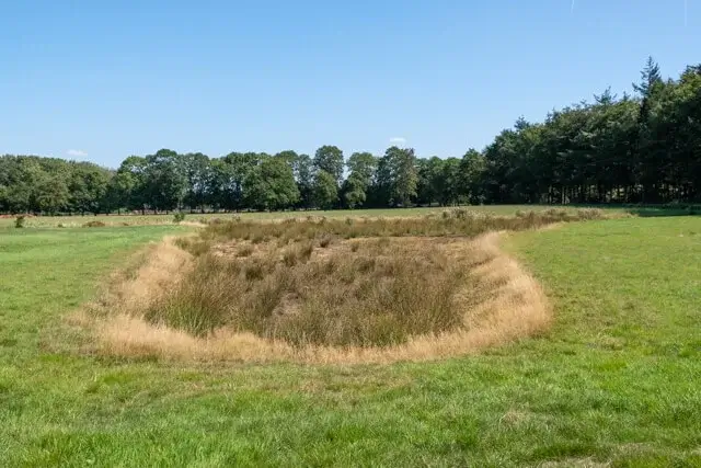
The nature area Maldegemveld forms a patchwork of purple heather spots and oak-birch forests. In addition to those forests, you will find coniferous woodlands interspersed with agricultural plots. This combination makes it an exceptional and diverse nature area. And maybe on your walk you will come across one of the fallow deer or galloway cattle. The Maldegemveld is located in the southern part of the municipality of Maldegem and is part of the Drongengoed Landscape Park. In the late Middle Ages, the Maldegem field was a vast field area with species-rich heather vegetation. Then there were several fish ponds in the Flemish Sand Region. In the past centuries, many of these 'field ponds' have been converted into fields or meadows, which means that the special fauna and flora were lost. The soil in the area consists of moderately wet soils, while a shallow clay layer ensures that a temporary groundwater table is created in winter and spring. Because of this you will find a lot of fens and moist heath habitats. Also typical of the Maldegemveld is the checkerboard pattern of the lanes.
Additional information:
www.natuurpunt.be.
POI 2 - Drongengoed.
With its 750 hectares, spread over the municipalities of Ursel and Maldegem, the Drongengoed Landscape Park is the largest contiguous forest area in East Flanders. Already in the 13th century, the then owners, the Norbertines of the Abbey of Drongen, had a farm built here to reclaim the area. Only five centuries later this "Drongengoed" became a real center of forestry. At the time, the abbot also devised the dam-shaped drift pattern on which part of the Meetjeslandse Bossen walking network has been mapped out today.
Additional information:
www.natuurenbos.be.


Walks East Flanders.


