
Walking route
Meetjesland Creeks.


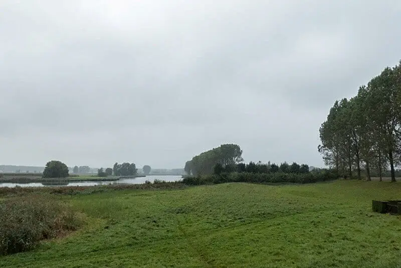
This walk starts in the beautiful village of Sint-Jan-In-Eremo. The name eremo means desert so that this place name refers to John the Baptist. In this region, however, the word desert also refers to the area affected by peat extraction, the creeks. The route takes you along the Leopold Canal to a pedestrian ferry and then along the Vrouwkenshoek, Blok and Boere creeks with beautiful views of the vast polders along the way.
Distance: 15 km.
Time: 4h30.
Grade: Moderate.
Type: Circular.
Gps Track: Yes.
Route description: Yes.
Wheelchair: Not suitable.
Dog: Allowed on leach.
Height gain: Flat.
Trail: Paved and unpaved.
Marking: Walking nodes.
Hiking shoes recommended.
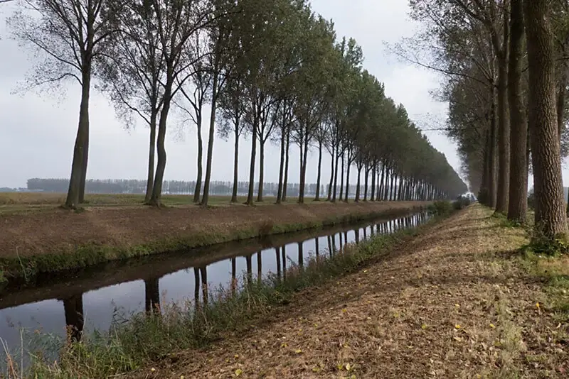
Leopold canal.
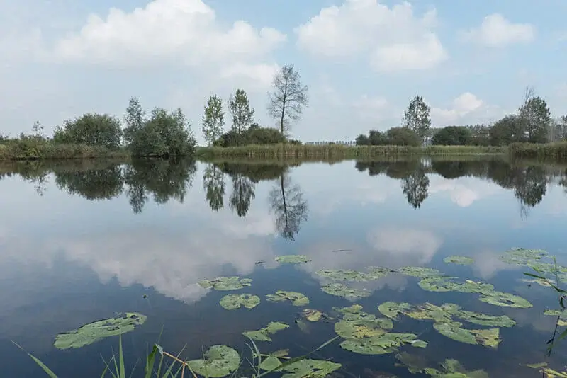
From the charming village of Sint-Jan-in-Eremo with the lovely Sint-Jan-de-Doper church as an eye-catcher, you walk through the elongated Leopold Canal in the direction of Sint-Laureins. In the meantime, enjoy the view of the stately Boere creek and the Bentille Creek and the beautiful Meykenshoek polder. Just before Sint-Laureins you cross the canal with a foot ferry and you are soon at the Vrouwkenshoek creek, which was restored to its full glory after recent dredging. Take a short walk and soon two creeks will cross your path again, the Hollandersgat creek on the left and the Blok creek on the right. Two creeks that are very popular with fishermen. A picnic table is ready for you. Along a dike, through a polder landscape and then arable land, it goes towards Boere creek, with its 6 km length and 39 ha the largest creek in East Flanders. From the dike of the Boere creek you can see in the distance the high water tower of Sint-Jan-in-Eremo, the starting point.
Download PDF for walking nodes to follow and map.
Shortening possible at walking node 23.
POI 1 - Leopold canal.
The Leopold Canal is popularly called Blinker and has a length of 40 kilometers. Historically, the polders north of Assenede drained into the Western Scheldt. However, in declaring Belgian independence and secession from the Netherlands, the Dutch closed off these drainage streams. As a result, the polders on the Belgian side were damp, with even malaria (at the time called polder fever). A solution was proposed in the form of a canal that would run from Heist to Zelzate and thus at the same time form an extra connection between the North Sea and the Ghent-Terneuzen canal (which the Dutch had also closed). A great driving force of the channel was Canon Jozef Andries, member of parliament in the National Congress and pastor of Middelburg. The digging of the canal ran from 1843 to 1854 but would never fully follow the original plan. The Leopold canal does not flow into the Ghent-Terneuzen canal, but suddenly stopped somewhere on the territory of Boekhoute.
No additional information.
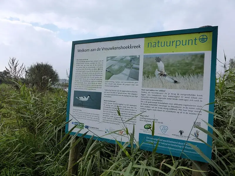
POI 2 - Meetjesland Creeks.
The creek area tells the story of man who conquers terrain on the sea, and the sea that then strikes hard and mercilessly back. The polder land around the mouth of the Westerschelde has been ravaged for centuries by dike breaches and floods, with the water scouring erratic pits in the landscape. The sea retreated and the creeks remained. However, not all of these puddles are of natural origin. Peat was also fired in the area, a fuel that was brought to the cities in small vessels via ditches and channels. The peat pits were further sanded out during storm surges.


Walks East Flanders.


