

Walking route
Els Anouers.


Looking for a beautiful hike in the Sierra de Crevillent? The PR-CV 110, better known as the "Els Anouers" route, departs from the beautiful Barranco de Sant Cayetá and takes you to one of the most beautiful balconies in the province of Alicante: the spectacular peak of Sant Juri, at 821 meters. This is a hike for those who love rugged ravines and endless views of the Mediterranean Sea, El Hondo Natural Park, and the Sierra de Crevillent.
Distance: 7 km.
Time: 3h00.
Grade: Moderate.
Type: Circular.
Gps Track: Yes.
Route description: Yes.
Wheelchair: Not suitable.
Dog: Allowed on leach.
Height gain: 565 meters.
Trail: 100% unpaved.
Marking: White-Yellow.
Hiking shoes recommended.
Sant Juri.
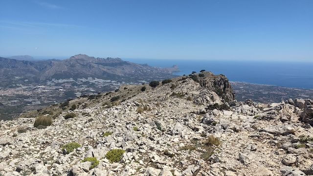
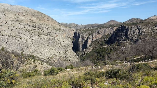
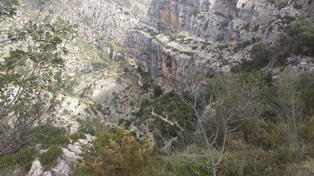
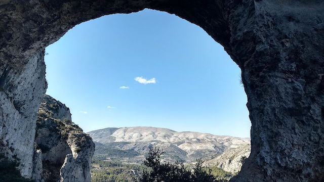
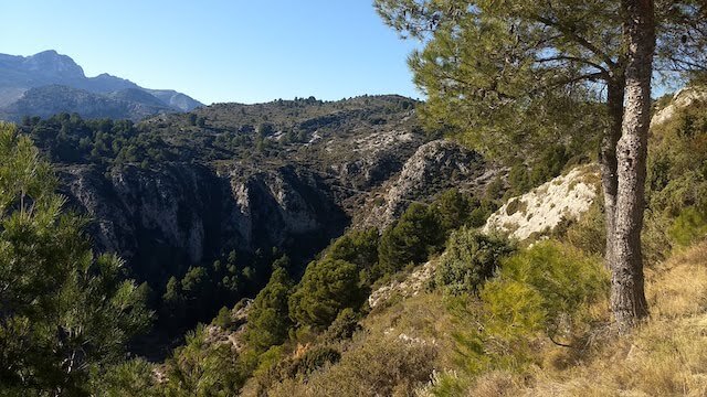
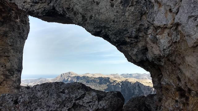
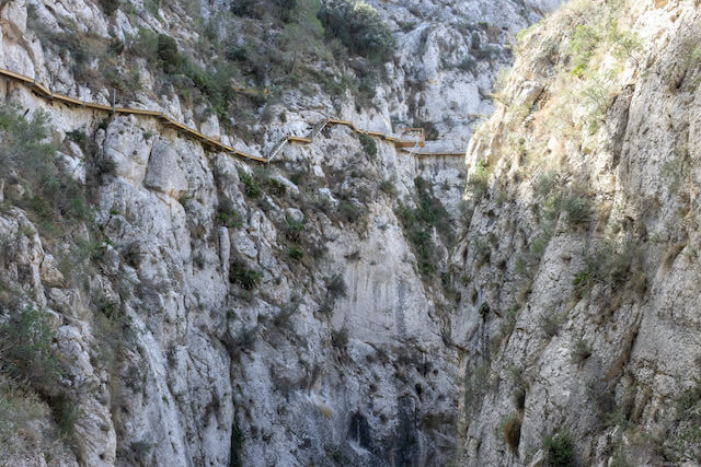
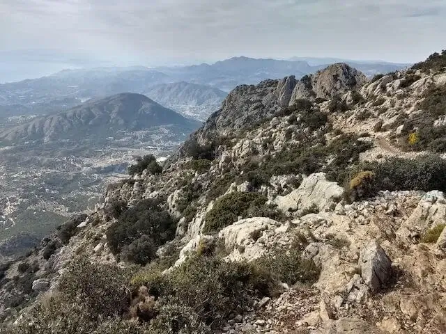
The hike begins at the beautiful Els Anouers recreation area. This name literally means "The Walnut Trees" in Valencian. You won't encounter any walnut trees along the way, but the name refers to a small green oasis in the ravine where stately walnut trees once stood. The adventure begins at the beautifully restored Ermita de San Cayetano, where the route immediately leads you into the impressive Barranco de Sant Cayetá. It's the perfect warm-up before the paths narrow and the slopes become steeper. Once you emerge from the ravine, you'll walk along a dirt road with beautiful views of olive groves at the Col de Sant Juri. Then, the climb to the summit of Sant Juri begins. At 821 meters, Sant Juri offers a fantastic viewpoint. From the summit, you'll have a 360-degree view you won't soon forget. To the south, the salt lakes of Santa Pola and the lagoons of El Hondo sparkle. In clear weather, you can see the blue line of the Mediterranean Sea on the horizon. Around you, you'll see the ridges of the Sierra de Crevillent, a paradise for birds of prey that often soar here on the thermals. The return route takes you along the mountainside, constantly offering new perspectives on the deep ravine you walked through earlier that day. At the Col de San Cayetano, you begin a challenging descent through the Barranco de l’Amorós, returning to your starting point.
Download PDF for route description and map.
The last part starts with a tough descent from the Col de San Cayetano.
The access road to the recreation park is a well-maintained unpaved road.


Walks Alicante.