


Distance: 15 km
Time: 5u00
Grade: Heavy
Type: Circular
GPS Track: Yes
Height gain: 800 meters
Trail: Paved and unpaved
Wheelchair: Not suitable
Dog: Allowed on a leash
Marking: See PDF route description
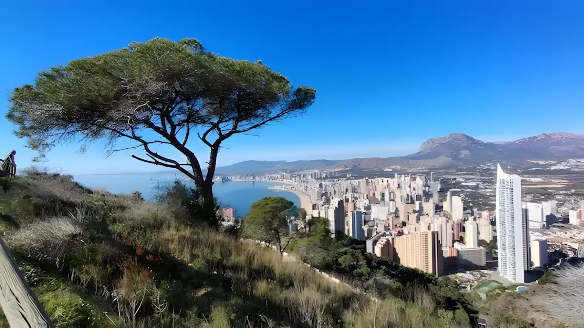
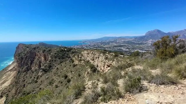
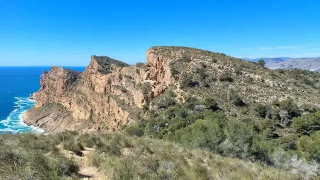
The Benidorm skyline on one side, the endless azure Mediterranean Sea on the other. The Sierra Helada — literally the 'Frozen Mountain' — is one of the most iconic nature parks on the Spanish Costa Blanca. Anyone who thinks this region consists only of beaches and high-rises is mistaken. This challenging route takes you over the highest cliffs of the Spanish east coast and offers a spectacular contrast between urban hustle and rugged nature.
- Download PDF for directions and map of the walk.
- Although many hikers opt for a linear walk (and take the bus or taxi back), here we describe a complete 15-kilometer loop that starts and finishes in Albir.
Southeastern Route to Santiago de Compostela.
Route description
- The hike starts in Albir. The first section takes you along the foot of the Sierra Helada towards Benidorm. Keep in mind that this stretch runs largely through built-up areas. It's an ideal warm-up before the real climbing begins.
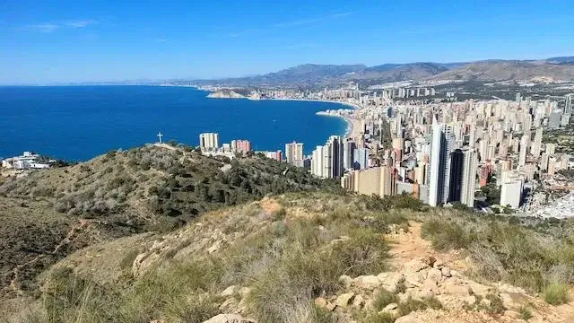
- Once in Benidorm, the serious ascent towards the famous cross begins. From here you leave the city behind and trade the asphalt for rocky paths.
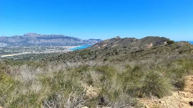
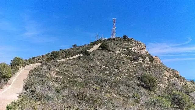
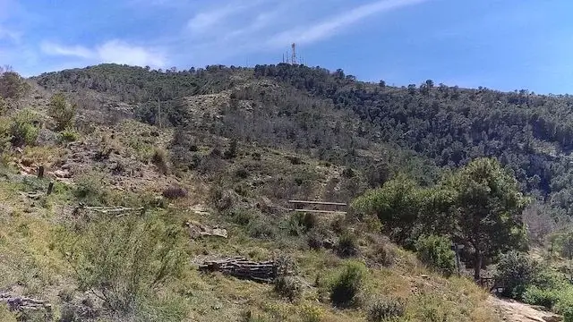
- The "Seven Hills" — This is the absolute highlight (literally and figuratively) of the route. You walk along the ridge of the Sierra Helada, conquering seven challenging hills along the way. It's a constant sequence of climbing and descending, crowned by the Alt del Governador. At 439 metres, this is the highest point of the mountain range.
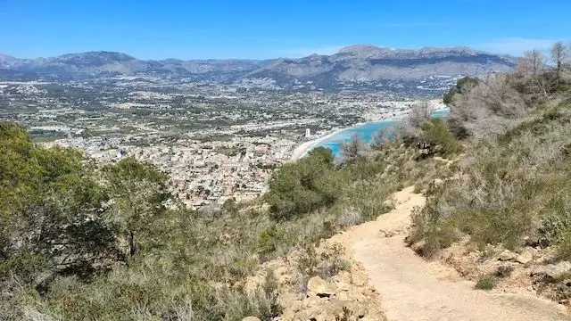
- From the Alt del Governador you begin the descent back to the starting point in Albir, treated along the way to magnificent views over the bay and the Peñón de Ifach in the distance.
Map & Poi's.
POI 1 - Sierra Helada Natural Park.
The Sierra Helada Natural Park, established in 2002, covers 17,257 hectares, is 6 km long, and is 439 m high, but the mountain itself is more than a million years old. The name, “Frozen Mountain,” comes from the fact that the northern surface of the rock becomes very slippery due to the early morning mist. The mountain is characterized by its asymmetrical profile, which is clearly visible along its entire 6 km length, with the highest point being the Alto del Gobernador, featuring its radio antennas. From the summit towards the land side of this small mountain range, one can see the amazing Puig Campana towering above the skyline and looking down on the towns of Albir and Alfas. Countless species of fish, crustaceans, and other invertebrates thrive in these perfect conditions beneath the steep cliffs in the Mediterranean Sea, and the vast fields of seagrass, which are essential to the ecosystem, ensure the crystal-clear water. The park is home to diverse flora and fauna, including seabirds such as the petrel and the peregrine falcon, and unique plant species that have adapted to the saline and rocky landscape. The Sierra Helada is home to other historical remains such as Torre de la Caleta, a 16th-century watchtower, the Albir lighthouse, and the old ochre mines, but these are not part of this walk.
POI 2 - The Cross of Benidorm.
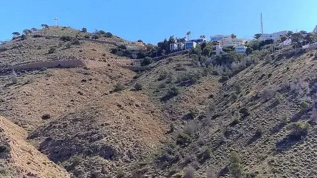
The Cross of Benidorm (La Creu), 14 meters high and 7 meters wide, at an altitude of 217 meters, is a well-known monument offering a spectacular panoramic view of the city and the skyline. The story of the Cross of Benidorm begins in 1954 when, according to legend, the then-mayor, Pedro Zaragoza Orts, received approval from the Franco government to allow the wearing of bikinis after a ride on his Vespa from Benidorm to Madrid. This quickly made the city famous. In late 1961, the original wooden cross was carried up from the old town by Franciscan friars and residents with a religious purpose: to boost Benidorm's frivolous reputation. The cross was erected in 1962. After being destroyed by a storm in 1975, it was replaced by a new, sturdier version made from old train rails. Now, the cross is both a religious symbol and a memorial site where people leave commemorative plaques for loved ones. The Sierra Helada is home to other historical remains such as Torre de la Caleta, a 16th-century watchtower, or the Albir lighthouse and the old ochre mines, but these are not part of this walk.
Accessibility & Catering.
03581 L'Albir Carrer Neptú 26 at the Albir Information Point.
El Albir Faro Parking. | No EV charging point available.
The starting point cannot be reached by public transport.
In Albir.
In Benidorm.

Downloads.
Discover more walking routes in Alicante.
Through the nature reserve La Granadella
Puig Campana
Walking around Pinos from ermita to ermita
This varied walk starts in the small hamlet of Pinos and takes you on a wide loop through a varied landscape of mountains and forests. Along the way, ascending and descending paths al...