Walking route
To the lighthouse and the windmills of La Plana.


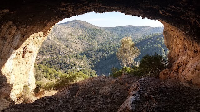
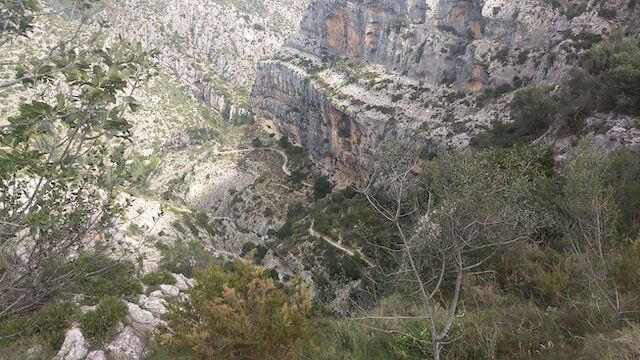
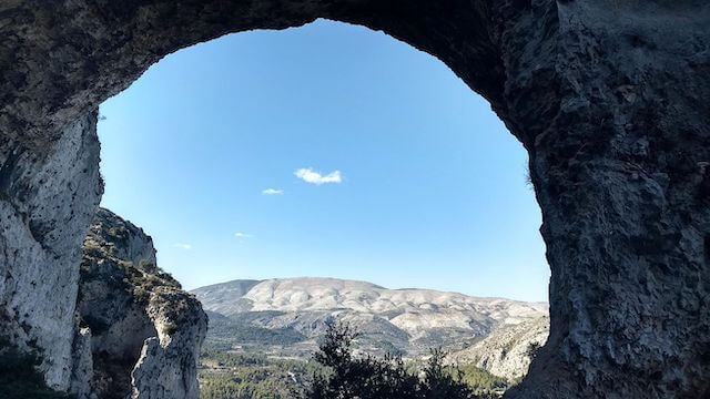
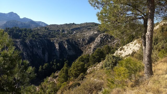
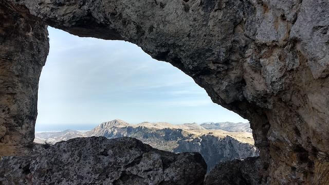
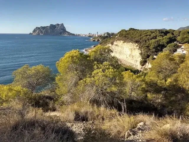
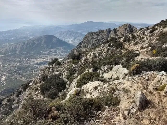
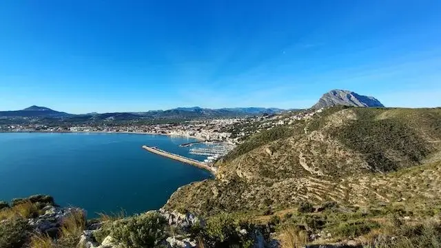
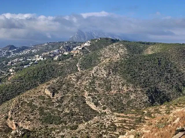
From Jávea, we walk along the harbor and then up a rising path to the La Plana or Les Planes plateau. Above this plateau are the Cap de Sant Antoni lighthouse, the ruins of the old carabinieri barracks, two restored lime kilns, and the famous 11 windmills of La Plana. Along the way, the iconic Montgó remains clearly visible, and in good weather, we can even see Ibiza. The Sierra de Bèrnia, the Migdia, and the Peñón de Ifach (in the distance) are also frequently visible. After a steep descent, we walk the last section on the Camino del Alba, or Way of Dawn, a section of the Camino de Santiago that starts in Jávea.
Distance: 11 km.
Time: 4h00.
Grade: Moderate.
Type: Circular.
Gps Track: Yes.
Route description: Yes.
Wheelchair: Not suitable.
Dog: Allowed on leach.
Height gain: 480 meters.
Trail: Paved and unpaved.
Marking: PR-CV-355 - White-Yellow
Hiking shoes recommended.
Cap de San Antoni.
Jávea is located in Alicante, between Cabo de San Antonio and Cabo de La Noa, sheltered by the Montgó massif. In the 14th century, the city was regularly plundered by pirates. But the beautiful churches, Gothic architecture, arched doorways, and white facades also reflect the wealth of this period. Characteristic of this area is the use of "tosca" in the buildings. This sandstone gives the buildings their beautiful yellow-brown color.
At 17 meters, the Cap de Sant Antoni lighthouse rises atop the cliffs of the cape, reaching a total height of 175 meters above sea level. It was first lit in 1855. This was once the site of the old 16th-century chapel of San Antonio, which gave the cape its name.
In 2014, a major forest fire ravaged this area. Traces of it can still be found, especially on the climb to the lighthouse, although nature has already recovered well. The two lime kilns on our route were restored in 2015 after the fire. These lime kilns, dating back to Roman times, were used to produce limestone in lime, a basic component of cement and essential for building mortar, plaster walls, partitions, and stucco. After cooling for a few days, the lime could be extracted and sold. Both buildings have similar dimensions: an internal diameter of approximately 3.20 meters and a height of either 3 or 3.40 meters.
At La Plana, there are 11 windmills, aligned southwest to northwest at an altitude of approximately 190 meters. They are shaped like large cylinders, approximately seven meters high and six meters in diameter. They were built here because the wind blows almost constantly from the southwest (llebeig).
Download PDF for route description and map.
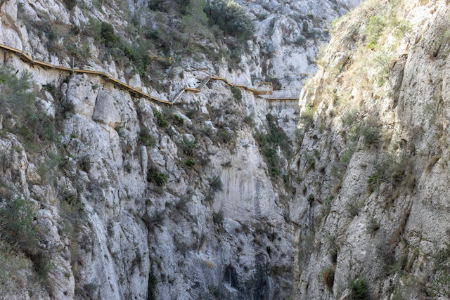
This walk is not recommended after heavy rain as the descent can be dangerously slippery.
Santiago de Compostela.
Since 2008, Jávea has been connected to Santiago de Compostela via the Camino del Alba. This route connects to the 'Ruta de la Lana' or the 'Camino del Sureste', and thus leads to the Camino de Santiago. The 152 km of the Camino del Alba are divided into 12 stages, ranging from 4 km to 25 km. The total distance to Santiago is 1215 km.
No additional information.


Walks Alicante.