Walking route
To the Ruweeuwsels.


Walking tour through the Stiphout forests, the hamlet of Achterbosch and the Ruweeuwsels. The Stiphout forests is a forest area on the border of the three municipalities of Helmond, Laarbeek and the municipality of Nuenen, Gerwen and Nederwetten. The walking tour goes through the Stiphout forests through the Molenheide and Geeneindse Heide areas.
Distance: 15 km.
Time: 3h30.
Grade: Moderate.
Type: Circular.
Gps Track: Yes.
Route description: Yes.
Wheelchair: Not suitable.
Dog: Allowed on leach.
Height gain: No info.
Trail: 81% unpaved.
Marking: See PDF route description.
Hiking shoes recommended.
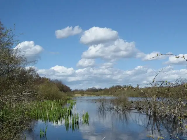
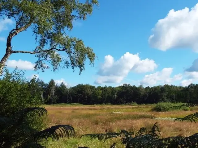
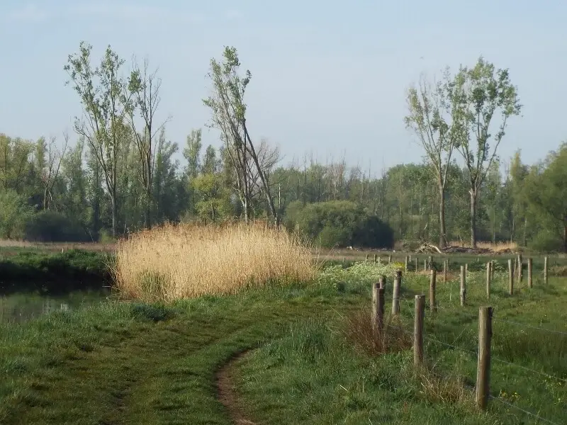
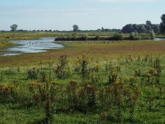
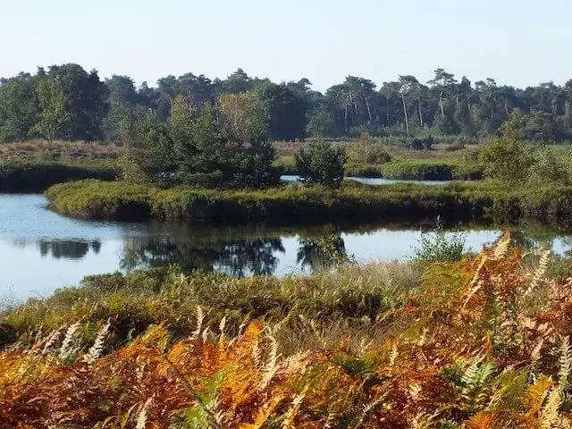
Overgrown swamp area.
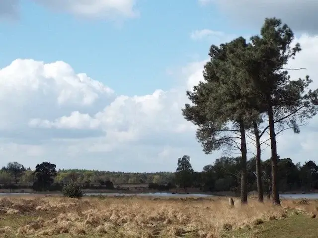
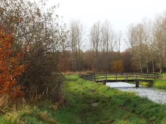
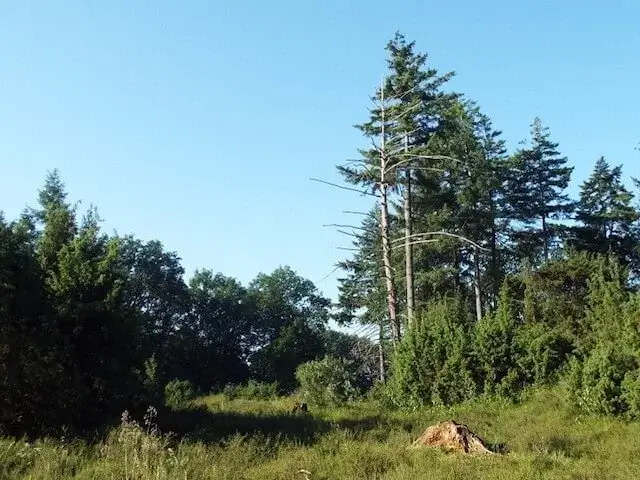
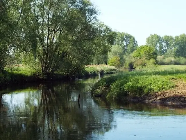
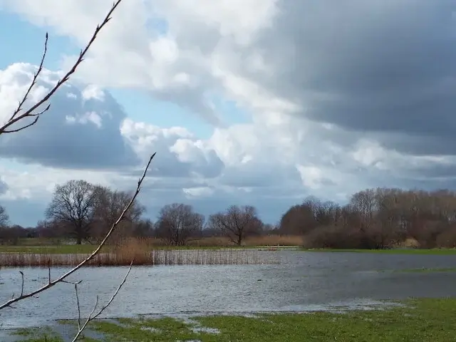
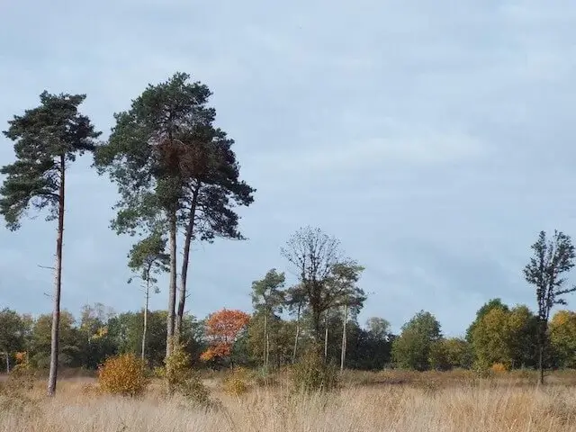
Originally heathland and former drifting sands were planted in the 1920s mainly as a production forest with scots pine and various types of fir. Meanwhile the area has been transformed into an attractive forest area with a few heather remains and a number of fens. During the walking tour you will come across the Witven, Langdaalven, Kulkesven, Kromven (Eiven), Wasven, Kikkerven and the Schapengracht. The hamlet of Achterbosch consists of seven (former) farms, most with a long history. Due to the construction of the Wilhelminakanaal in the beginning of the last century, the neighborhood has been closed off from the heart of Lieshout. The bridge at lock 5 in the immediate vicinity of the hamlet has been blown up twice during WWII, in 1940 by the Dutch troops for defense and in 1944 the bridge that has since been repaired was blown up again, now by German troops. At the height of the lock lies the Ruweeuwsels nature reserve, which means roughly overgrown marshland. The area was originally used for poplar cultivation, but the poplar plantation has gradually been transformed into a more varied mixed forest. Currently, it consists of woodland with small plots of grassland that offer nice vistas.
Download PDF for route description and map.


Walks North Brabant.