Walking route
Through the brook valley of the Aa.


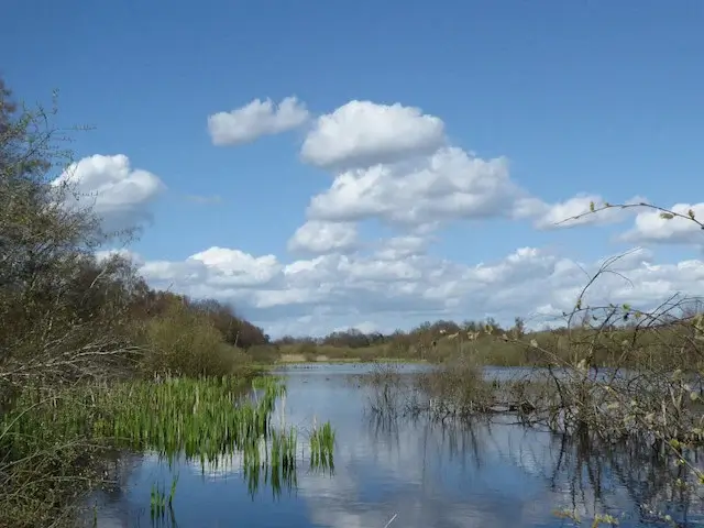
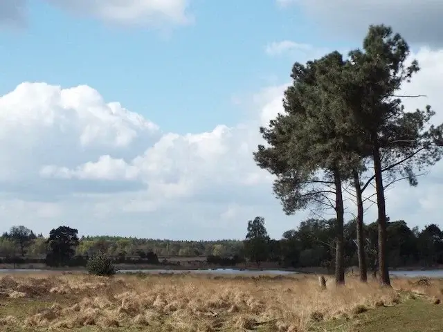
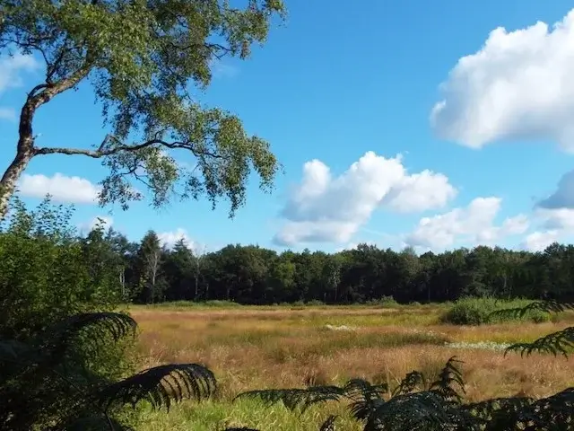
Walking tour along the small river Aa between Erp and Veghel for lovers of open landscapes. The walk starts in the village of Keldonk, a place where people have lived for a very long time. The name Keldonk also indicates a habitable place in the marshy valley of the small river Aa. In the oldest records, the word *Kel* in Keldonk was written as *Keel*, the name for a certain type of grass that grew in low-lying, marshy meadows in the stream valley of the small river Aa. The word *Donk* refers to a sand ridge, also called a sand rise, on which people could settle and keep their feet dry.
Distance: 17 km.
Time: 4h00.
Grade: Moderate.
Type: Circular.
Gps Track: Yes.
Route description: Yes.
Wheelchair: Not suitable.
Dog: Allowed on leach.
Height gain: No info.
Trail: 83% unpaved.
Marking: See PDF routedescription.
Hiking shoes recommended.
Boork valley of the Aa.
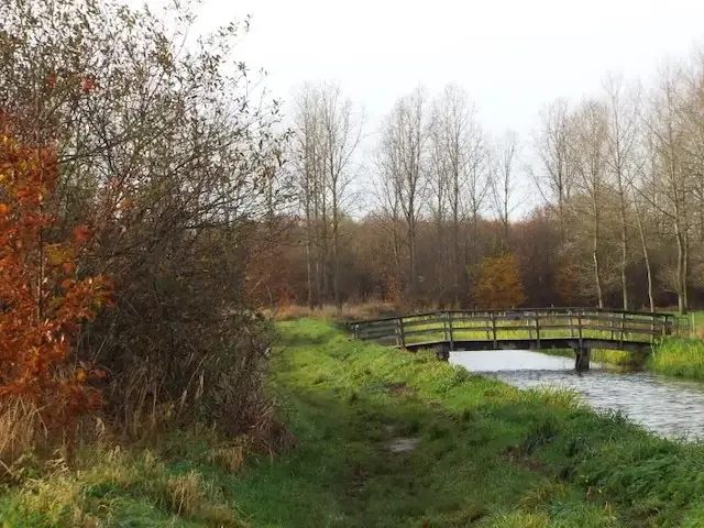
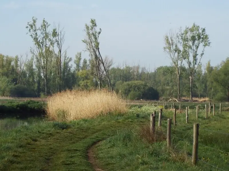
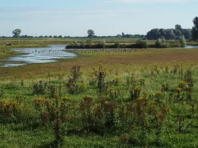
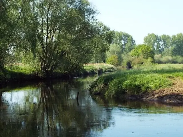
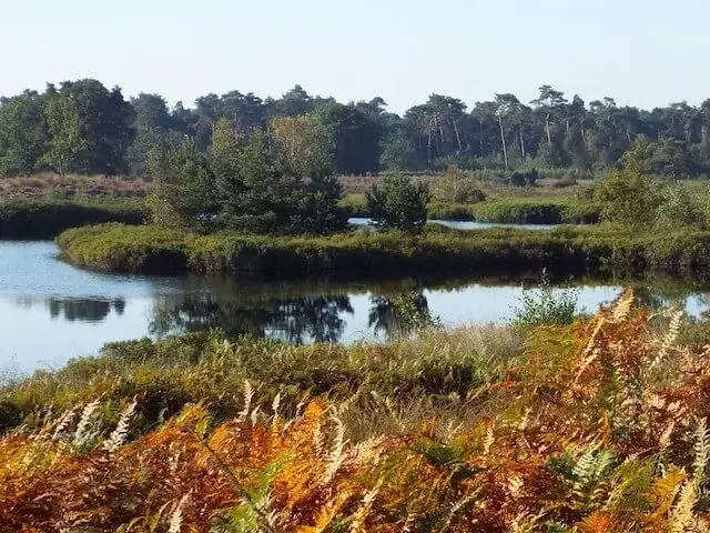
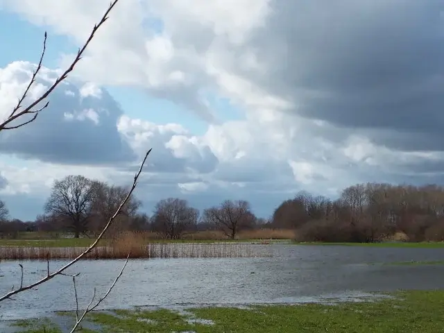
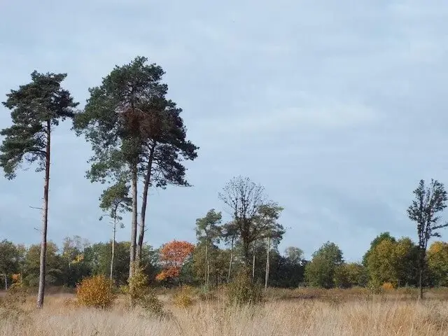
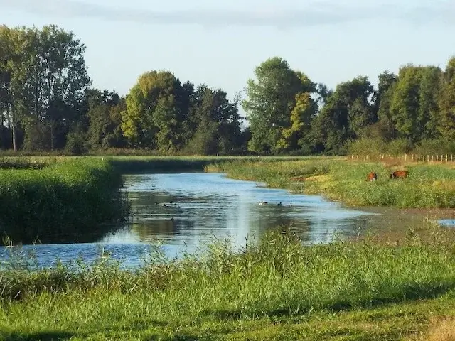
The small river Aa was canalized between Erp and Veghel between 1937 and 1941. Meadows and marshes lay along the river, which meandered through the landscape during this period. Many of these meadows were flooded in the winter. To put an end to the flooding, the meanders and bends were removed, something that was done at the time using shovels and wheelbarrows, with excavators hardly being used. The water subsequently flowed so fast that the land dried out, but after periods of heavy rain, this caused new problems because the water had nowhere to go during floods. In 2004, it was agreed to give the Aa more space between Veghel and Erp. The banks have been lowered in a number of places. A more natural transition has been created between the bank and the river. In some places, wider zones have been created that can flood again and serve as water storage; these zones consist of grassland with flowers that form a beautiful scene, especially in spring and summer. Furthermore, the stream valley consists of hedgerows, groves, and pools that make it scenically attractive as a walking area. In 2025, work began south of Erp to make the Aa stream valley climate-resilient. Between Erp and Veghel, it is being assessed what else is needed to make this part of the stream valley climate-resilient following the construction of a water storage area and an ecological corridor.
Download PDF for route description and map.
One must take into account background noise from the quite busy N279, which is particularly audible in the section between Keldonk and Veghel, but can also occasionally be seen..
The walking tour consists of three loops, offering some choice in length; one can also walk the section between Keldonk and Erp and the section between Keldonk and Veghel as two shorter tours. The loop between Keldonk and Erp is 8 kilometers, and both loops between Keldonk and Veghel are 8.8 kilometers; the total walking route is 16.8 kilometers. Because a large part of the tour runs along grass/maintenance paths and through grazing areas, sturdy walking shoes are recommended.


Walks North Brabant.