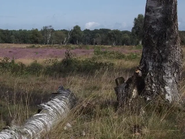
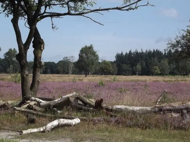
Just like the Munseheide route and the Slabroek route, this walking tour goes through the Maashorst nature reserve. The Maashorst consists of a number of very different landscape types, there are forests, scattered heaths, a few ponds, an agricultural area in the center and a large grazing area called the Brobbelbies.
Distance: 15 km.
Time: 3h30.
Grade: Moderate.
Type: Circular.
Gps Track: Yes.
Route description: Yes.
Wheelchair: Not suitable.
Dog: Allowed.
Height gain: No info.
Trail: 82% unpaved.
Marking: See PDF route description.
Hiking shoes recommended.
Advertisement.
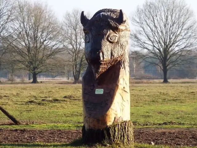
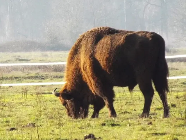
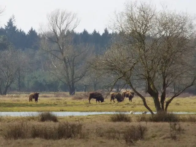
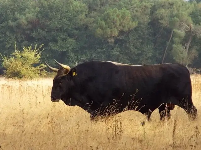
The Brobbelbies.
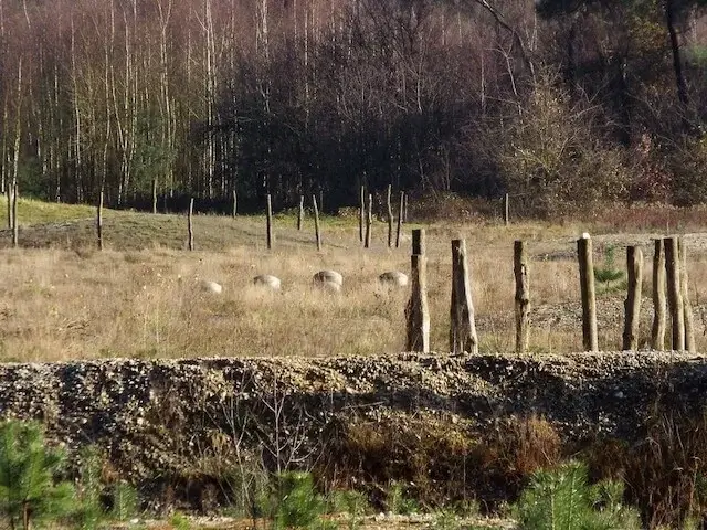
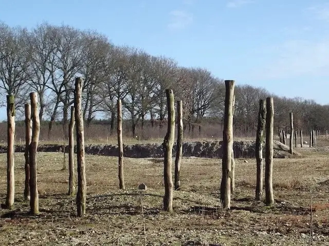
The grazing area is divided into two parts with in the outer part grazing tauros and exmoor ponies and in the inner part wisents, the grazing area of the wisents is not accessible. The walking tour goes through the grazing area of the wisents and with some luck the wisents will get to be seen. The Kanonsberg also part of the outer grazing area has the largest heathland. As a place of interest one comes along a burial mound but also along a burial mound field with royal tomb 'The monarch of De Maashorst' who lived between 800 and 500 before our era. A unique find because of the rich content. In addition to jewelry and toiletries, clothing remains were also found. Nowhere else in the Netherlands are three richly filled graves from the early Iron Age found so close to each other.
Download PDf for route description and map.
Practical information: There is an alternative route available for walkers who come by public transport, unfortunately there is no public transport in the immediate vicinity of the starting point, but with an approach route of 2.1 kilometers, the walk is then 18.8 kilometers long. Further in the grazing area, take into account the large grazers and observe the applicable rules, such as keeping a minimum distance of 50 meters and not crossing the herds.