

Walking route
Through the Calie Valley.


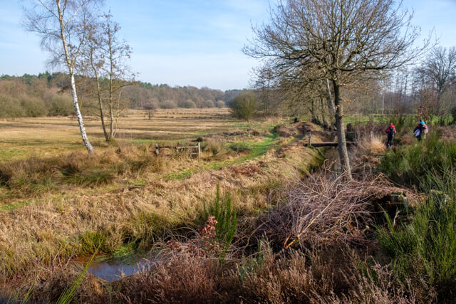
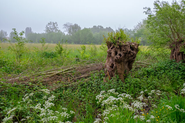
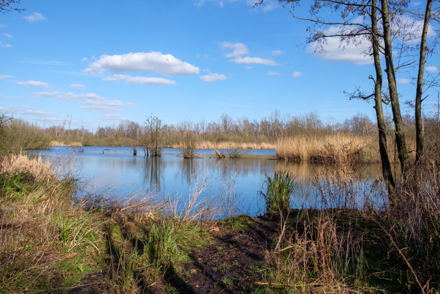
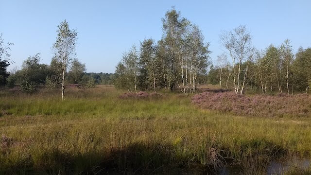
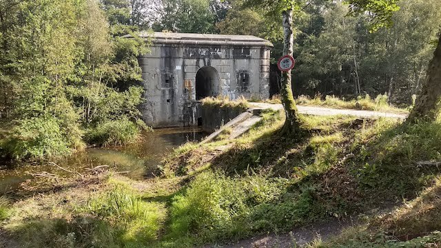
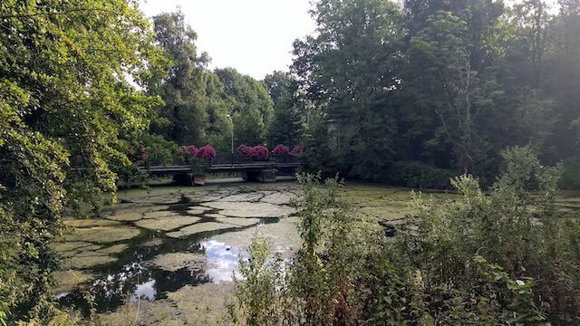
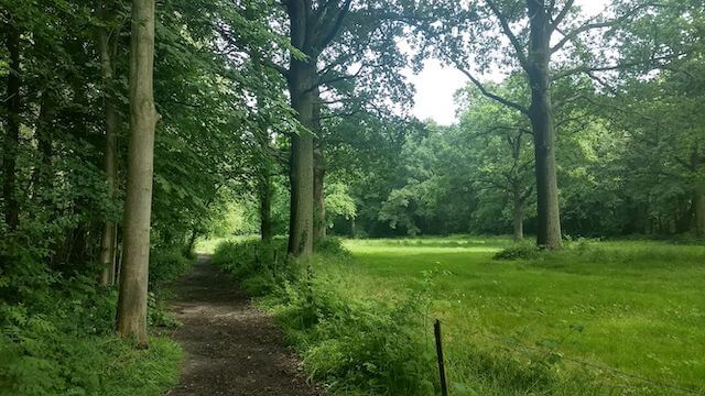
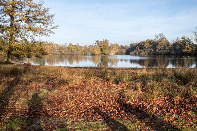
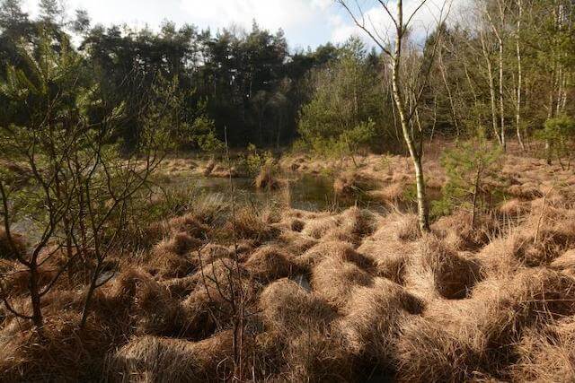
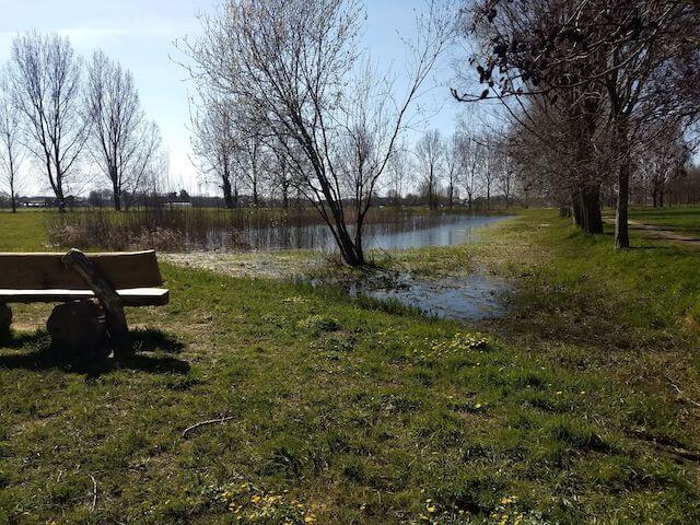
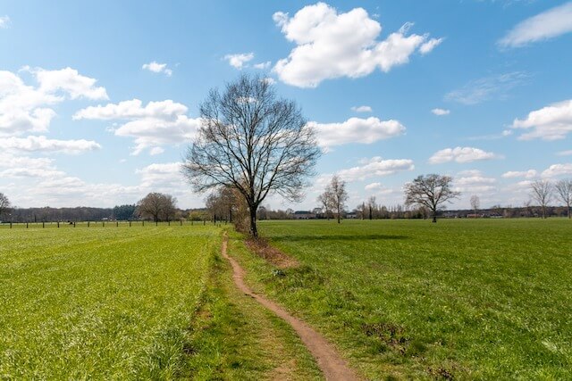
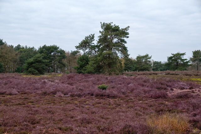
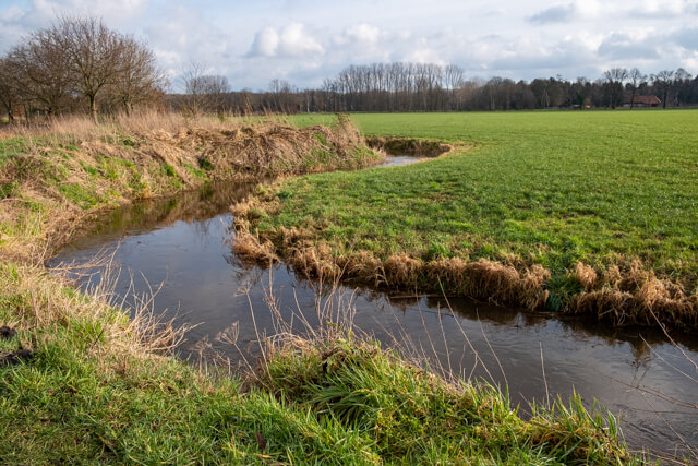
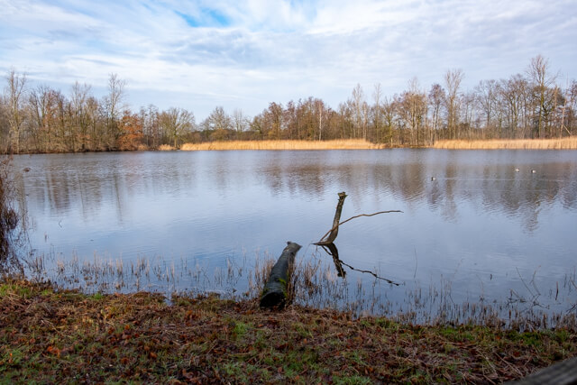
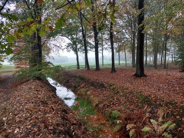
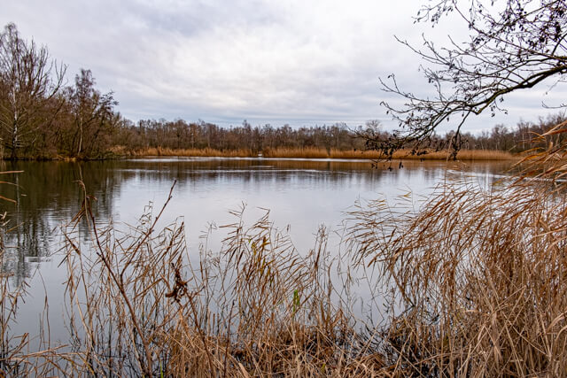
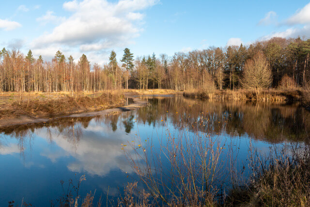
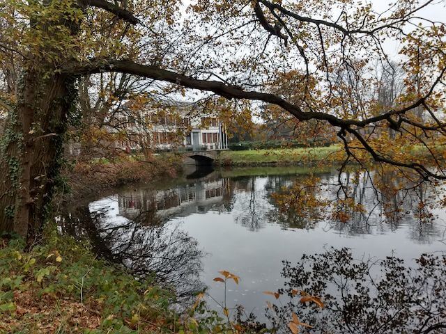
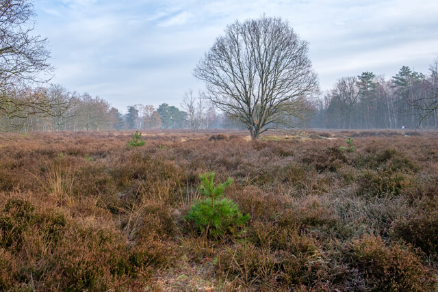
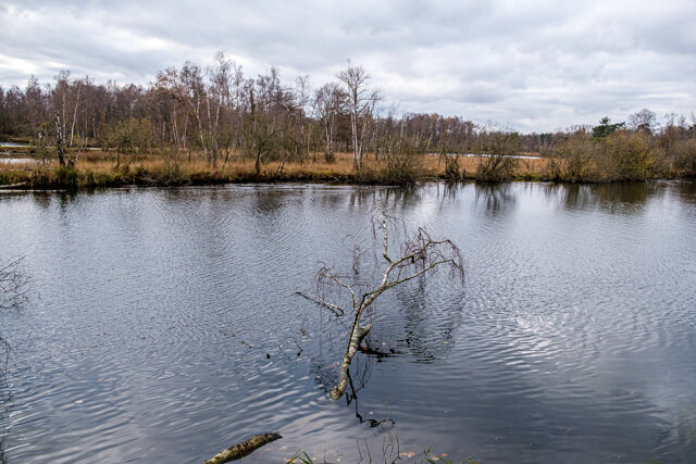
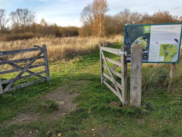
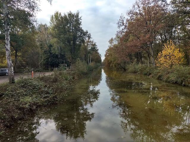
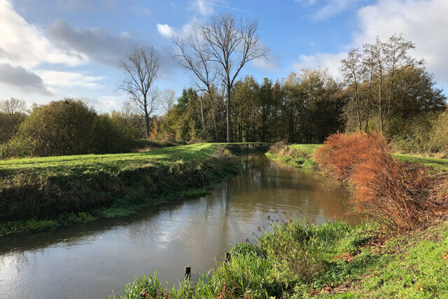
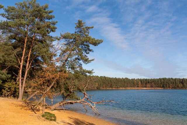
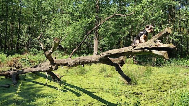
This walk follows nodes of the Kempische Heuvelrug walking network and explores the beautiful and peaceful nature of the Calie Valley. Originally, this area was a vast low-lying peatland. Today, the landscape is still recognizable by its marshy forests, with large areas of alder swamp forest, interspersed with ponds and a few open hay meadows. The Grote Calie, the Kleine Calie, and the Echelsgracht flow through the valley. These waterways were dug centuries ago to better drain the wet area.
Distance: 8 km.
Time: 2h00.
Grade: Easy.
Type: Circular.
Gps Track: Yes.
Route description: Yes.
Wheelchair: Not suitable.
Dog: Allowed on leach.
Height gain: Flat.
Trail: 70% unpaved.
Marking: Walking nodes.
Hiking shoes recommended.
Balderij and Rielenbroeken.
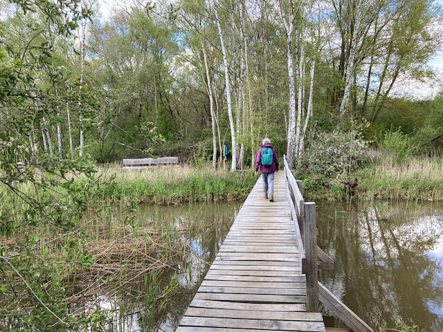
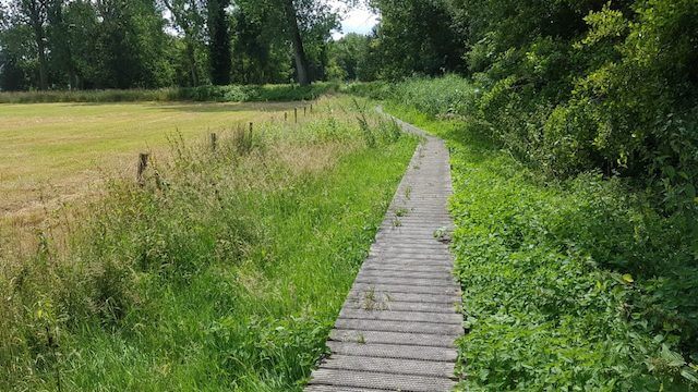
In various places, old peat pits serve as reminders of the valley's past. Names such as Balderij, Rielenbroeken, and Volkers refer to places where peat and dredged material were once extracted. Today, they are tranquil spots of nature that still preserve a piece of the landscape's history. The Calie Valley is also particularly rich in wildlife. Around and on the water, with a bit of luck, you can spot species such as the wood damselfly, treecreeper, kingfisher, and, more recently, the beaver. Between junctions 47 and 9, you walk along a boardwalk through extensive alder forests, a typical landscape for this valley.
Download PDF for nodes to follow and map.
Some paths may be muddy.
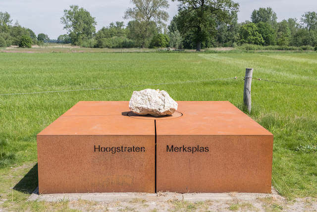
POI 1 - Balderij.
Balderij is an old distortion of "Balder Heide". It is said to be a place where the Germanic god Balder, the spirit of the plant world, was worshipped. There is also a small possibility that "Balder" is a medieval word with the same meaning as Berlaar, namely a wooded and marshy terrain.
No additional information.


Walks Antwerp.