A walk to two less known valuable green areas, the Vuile Plas and the Zandbergen.
Distance: 10 km.
Time: 2h30.
Grade: Easy.
Type: Circular.
Gps Track: Yes.
Route description: Yes.
Wheelchair: Not suitable.
Dog: Allowed.
Height gain: Flat.
Trail: Paved and unpaved.
Marking: None.
Hiking shoes recommended.
Advertisement.
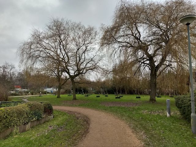
The Zandbergen.
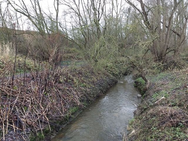
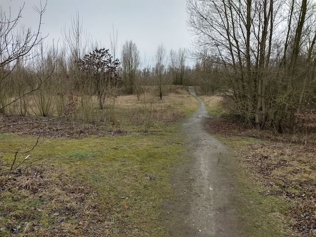
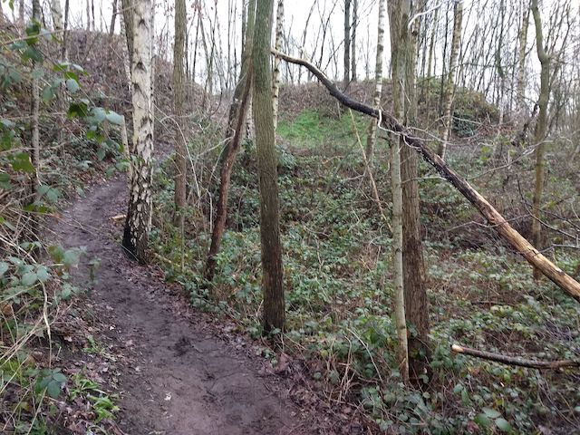
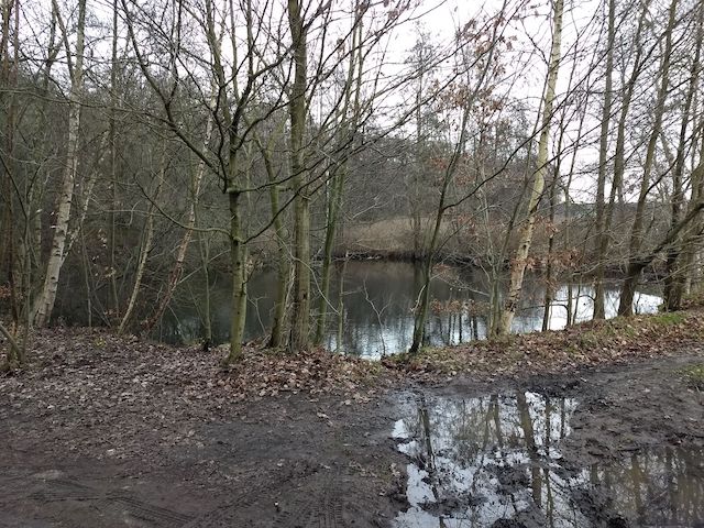
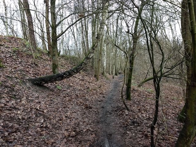
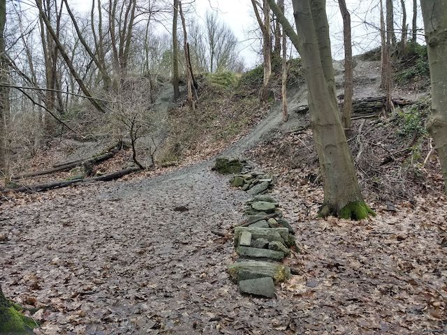
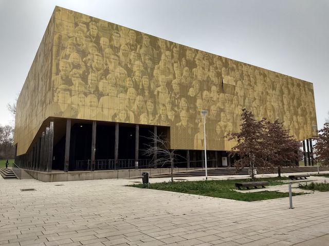
The route first goes along the moat and then along the vegetable gardens next to the E19 to the walking area Vuile Plas. This area was named after the restored farm "Vuile Plas". In this valuable nature reserve there are several lakes with well-known names such as Den Oersoep, 't Sopke and Drie Hoekige. The sandy soils brought there were intended for the connection of the Grand Ring around Antwerp. We walk back on the other side of the E19 through the Zandbergen park. The Zandbergen originated from the grounds of the Craeybeckx tunnel in the 1970s and is now a walking and cycling area, with a Dirt19 track in the middle, an extreme cycle route. Via a piece of the Geitenpad and past the buildings of the University of Antwerp we return to the departure point.

Download PDF for route description.
Some paths can be muddy.
Watch out for BMX riders in the Zandbergen.