Select your language

Clinge Tour

This walk takes you to a point where you have a wide view of the polder landscape with the advancing port of Antwerp in the background. The Krieke Putten nature reserve with various pounds is the next eye-catcher. On the beautiful Koningsdijk you walk further in the direction of Fort Bedmar, where only part of the northwestern wall can still be seen. Via the border village of De Klinge it continues through the Clingse forests back to the starting point.

Around Clinge

This walk will quickly take you to the Krieke Putten nature reserve with various pounds, water features where the water wells up from the sandy soils. On the beautiful Konings dyke you walk further in the direction of Fort Bedmar, where only part of the northwestern wall can still be seen.

Around Hengstdijk

This detour introduces you to the beautiful nature around Hengstdijk. From the starting point you walk in the direction of De Vogel, one of the oldest creeks in Zeeuws-Vlaanderen. You continue to Vogelfort, which takes its name from a former fortress. You now continue on an unpaved path and arrive at the old tram bridge Vogelfort. You walk on rural roads in the direction of Hengstdijk. Here you walk around St. Catherine's Church to return to the starting point.

Around Ossenisse

This walk introduces you to the northernmost point of East Zeeland Flanders. You have a beautiful view of the Westerschelde dike and you can see huge container ships gliding through the water nearby. You also walk through an old creek remnant that is now a nature reserve and you pass two amphibian pools and a partridge field.

Groot Eiland

This walk takes you to the Groot Eiland, a beautiful piece of nature enclosed by creeks. Over the Liniedijk you walk through the hamlet Kijkuit further in the direction of the Zijkanaal naar Hulst where you pass the place where a Bailey bridge was built in 1944.

Around Zaamslag

The imagination of the walker is put to the test during the detour around Zaamslag. In the past centuries the village had a castle with lords of the castle, a commandery with Templars, a hospital and a parish church, but also a brewery and a mill. They have all disappeared. Fortunately, there is still a lot of natural beauty to enjoy.

Around Sas van Gent

No detour in which you traverse so many phases in history as that of Sas van Gent. From the construction of the lock ("sas") and the digging of the Sassevaart (the predecessor of the current canal) in the sixteenth century and the development of the fortified town in the seventeenth century. Until the industrial revolution in the nineteenth century and the repurposing of industrial and ecclesiastical heritage now. Sas van Gent keeps up with the times.

Around Zuiddorpe

A lot of animals around Zuiddorpe. The Rat, the Mouse, Sheep (dyke) and Bonte cow are just some of the animals you can encounter there. After the occupation by the Spanish, the inhabitants made short work of the Spanish (Catholic) names of streets and neighborhoods. Fort Sint-Jan became De Ratte and Fort Sint Marcus, de Muis.

Around Hoek

Hoek was in a different place in the twelfth century than it is now. The village has even moved twice. Vremdijcke, as Hoek was still called at the time, was rebuilt after the breakthrough of the Braakman in 1488. That village also drowned. The inhabitants built a church and a mill on the corner of two dikes. And the current Hoek was born.

Around Axel

Zeeland Flanders may have few forests, but there is a lot of forest around Axel. The forest path already starts in the residential area. The detour goes straight through forest, past well-filled fields and along water. In fact, a lot of water.

Around Sluiskil

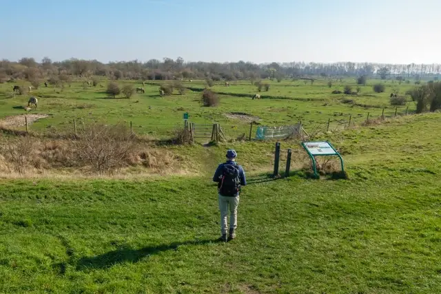
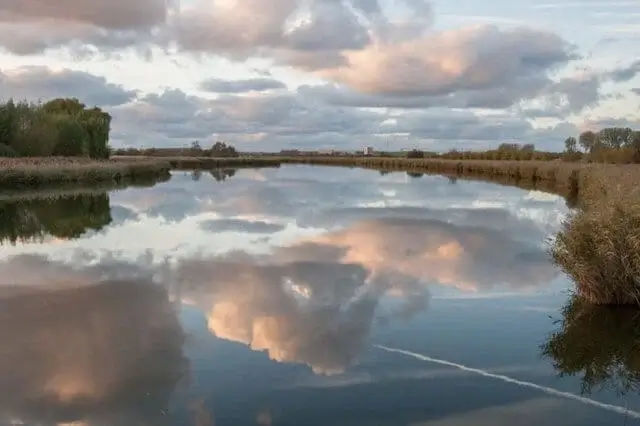
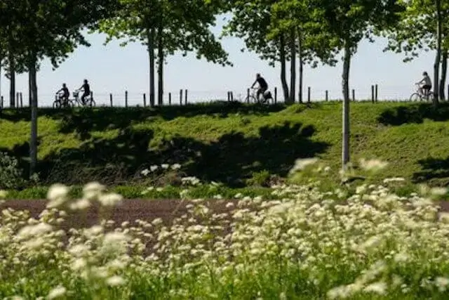
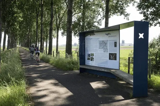
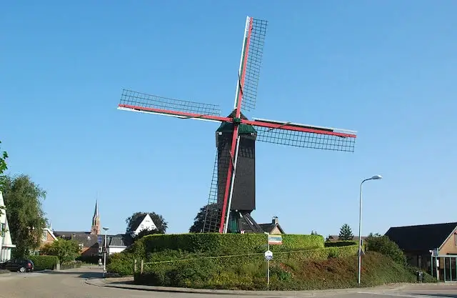
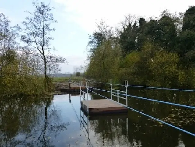
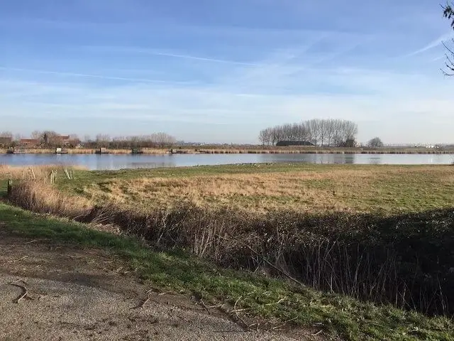
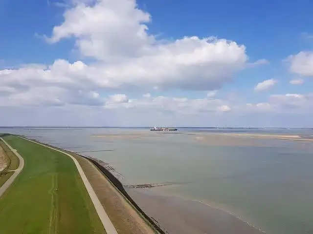
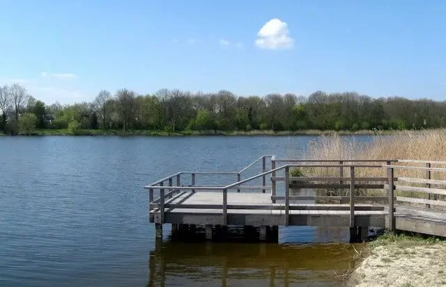
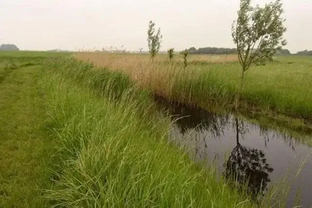
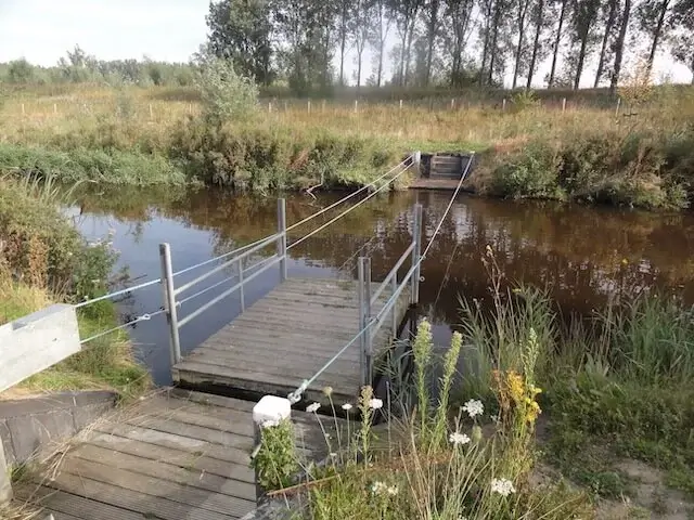
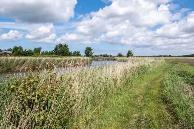
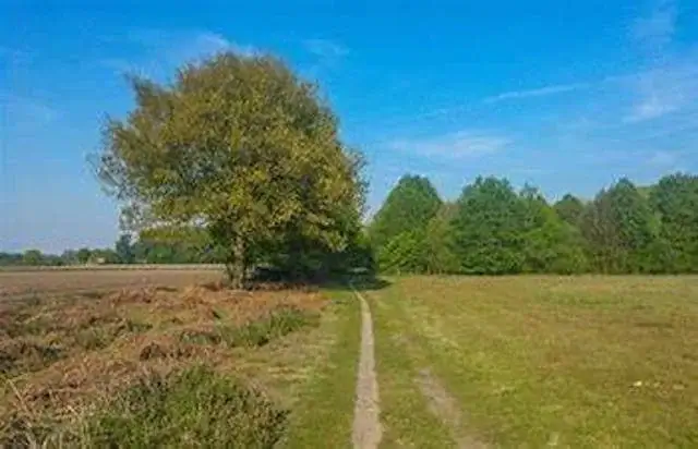
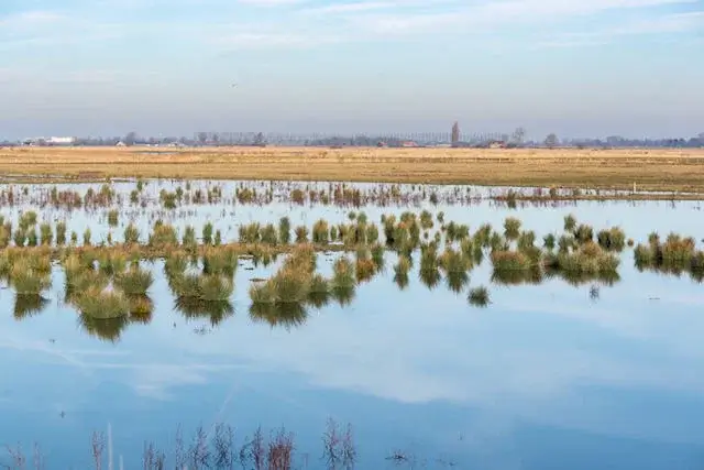
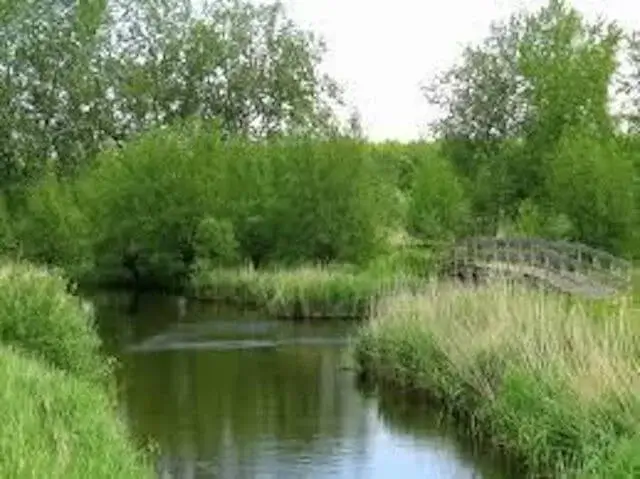
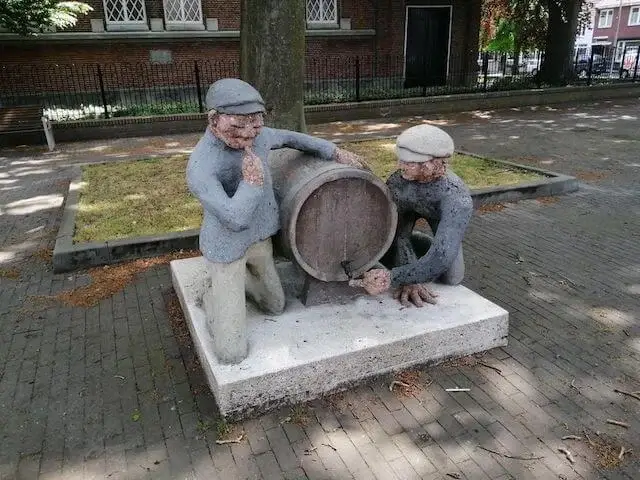
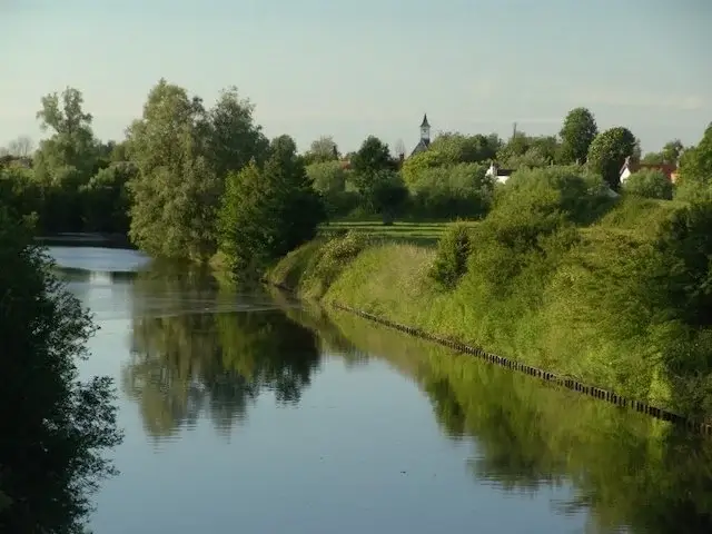
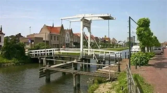
Sluiskil is inextricably linked to activity. From the very beginning, with the construction of a lock (sluis) in 1648 in the kil (channel). The village owes its name and existence to it. Thanks to a port and ferry service, Sluiskil started to grow. But the activity did not only bring prosperity: part of Sluiskil had to disappear when the canal was widened and Sluiskil lost his heart. During the walk around Sluiskil peace and quiet predominates and activity is usually hard to find. In the distance you can only see the wind turbines and blue sugar silos. Only almost at the end, with a view of the car traffic and the swing bridge, is the activity back. Then you are in a charming nature reserve, the Sluiskil tunnel turns out to be deep underground. Talk about a changing landscape.

Nature around Veere

During this walk you will get to know the historic town of Veere and the green, water-rich environment. First you walk along the towpath next to the channel 'Kanaal door Walcheren' in the direction of the 'Oude Veerseweg' nature reserve. Here you follow the banks of the 'Veerse Watergang' and the 'Botjeszeekreek'. Via the forest of Veere and the 'Veerse Kreek' you arrive at the 'Veerse Meer' dike. Before you reach the town again, you walk under the fortress wall wich was build by Napoleon Bonaparte. The marina and the cozy streets with the historic buildings invite you to stroll through the town and enjoy a terrace before heading back to the starting point.

Tags: ,
Grote Putting and the Vogel

This walk starts at the nature reserve De Grote Putting, one of the few real old-land areas that Zeeland still has. In the village of Kuitaart you pass the corn mill Vogelzicht from 1865 and then you walk along the nature reserve De Vogel. Hengstdijk is located on a twelfth-century dike and has been embanked by Flemish monks, once it had an open connection with the river Westerschelde.

The ramparts of Retranchement

The ramparts of Retranchement, built according to the Old Dutch fortification system, forms a nature reserve that connects many landscape elements, such as dikes, meadows, hedges and trees. Remains of the "Oranje" and "Nassau" forts can still be found there. The walk starts on these ramparts in the center of this small village in Zeeland.