


Distance: 5 km
Time: 1h30
Grade: Easy
Type: Circular
GPS Track: Yes
Height gain: Flat
Trail: Paved and unpaved
Wheelchair: Not suitable
Dog: Allowed on a leash
Marking: Binoculars and tower
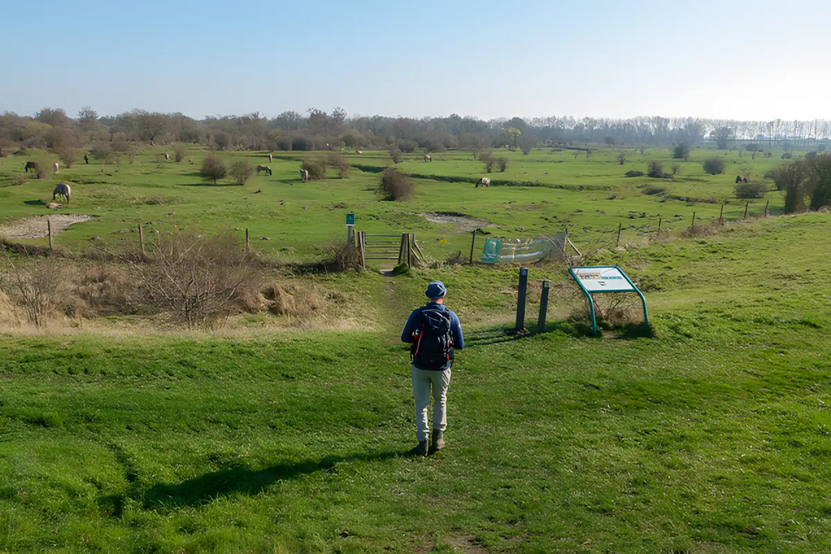
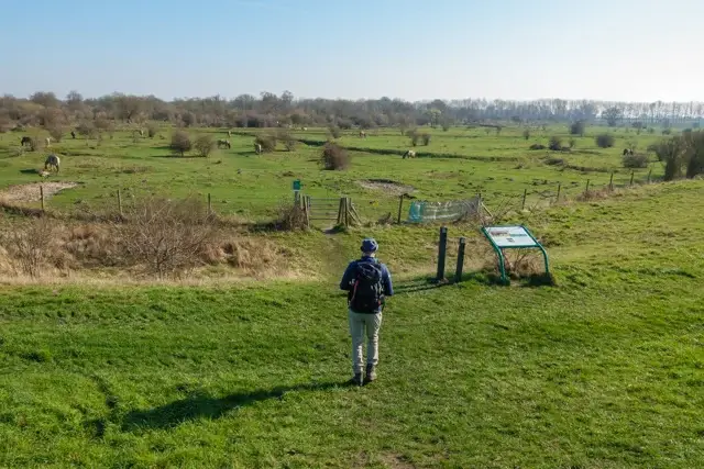
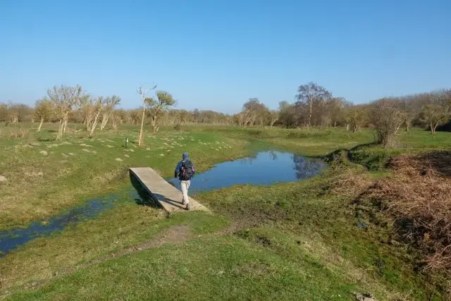
Are you looking for a walk where nature is still in charge? Then set course for the Slikken van de Heen. This former tidal area on the border of the Brabantse Wal and the Zeeland island of Tholen offers a unique mix of open plains, dense shrubs and spectacular views.
- Download PDF for directions and map of the walk.
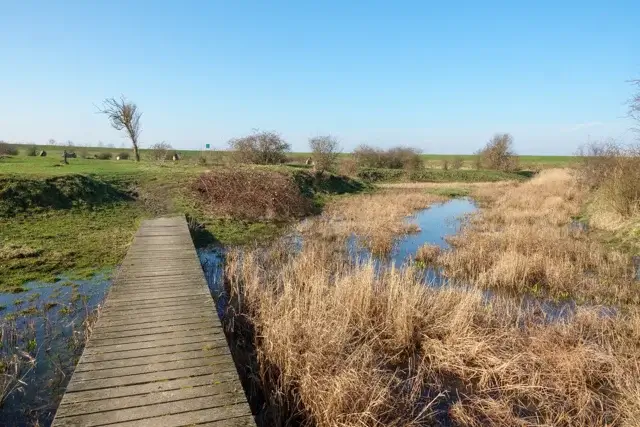
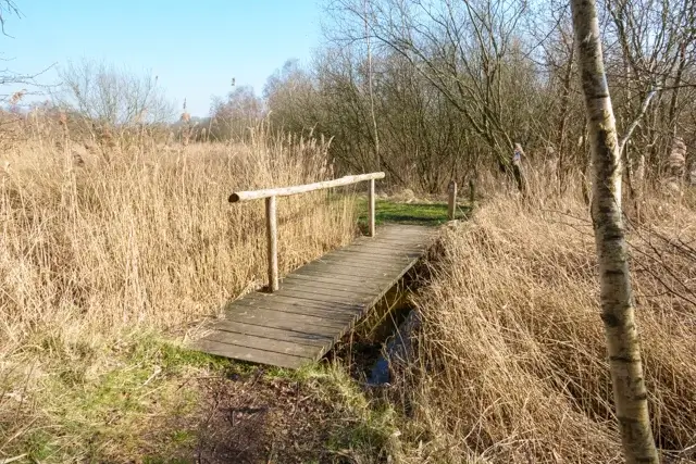
- During wet periods, the paths can be very muddy!
The Transformation from Salty to Sweet.
Route description
- Once, the salt water of the Grevelingen and the Oosterschelde flowed daily over the flats here.
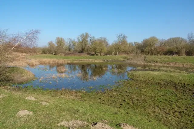
- After the construction of the Philipsdam in 1987, everything changed: the area was cut off from the sea and slowly transformed into an extensive freshwater marsh.
- Today it is a paradise for birds and large grazers.
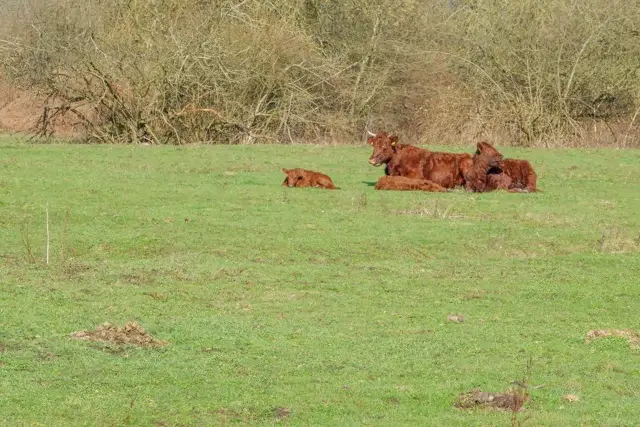
- During your walk, there's a good chance you'll come face to face with Konik horses or the imposing Heck cattle, which graze here year-round to keep the area open.
- Early in the walk, you'll pass the strategically placed viewing screen. Take a moment here.
- Thanks to the shelter, you can watch the countless waterbirds in the creeks undisturbed.
- With a bit of luck, you might even spot the impressive white-tailed eagle, which regularly hunts for a meal here.
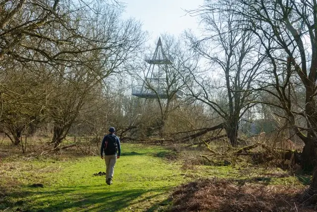
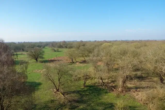
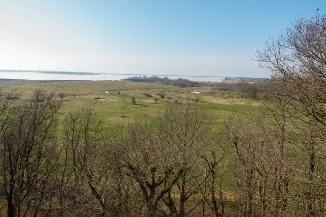
- The literal high point of the route is the sturdy lookout tower. After a short climb, you're rewarded with a 360-degree view.
- On one side you'll see the vast nature of the Slikken, and on the other the glistening water of the Krammer-Volkerak and the imposing windmills on the Philipsdam.
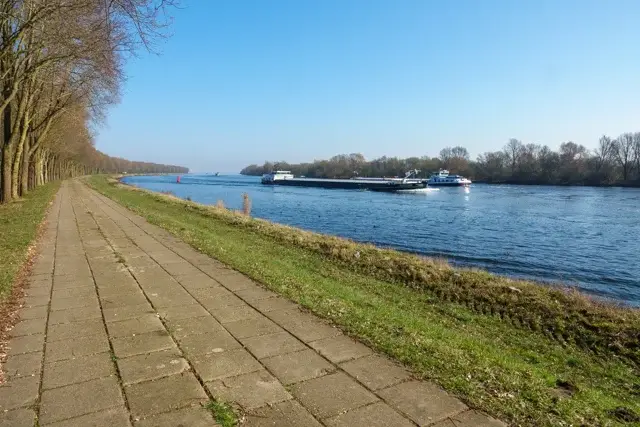
- The path leads from the tower briefly along the Schelde-Rhine Canal before heading back into the area to reach the starting point.
Map & Poi's.
Accessibility & Catering.
Starting point:
4675 PW Sint Philipsland Campweg 5.
4675 PW Sint Philipsland Campweg 5.
Parking:
Small parking lot on Campweg. | No EV charging point available.
Small parking lot on Campweg. | No EV charging point available.
Public transport:
The starting point cannot be reached by public transport.
The starting point cannot be reached by public transport.
Catering starting point:
None.
None.
Catering on the way:
None.
None.
Downloads.
GPS bestand verzenden
Wandelfolder verzenden
Discover more walking routes in Zeeland.
Around Westdorpe
Westdorpe, modern activity in a changing landscape. Had the residents not fought so fiercely in the 1970s, Canisvliet would probably have been absorbed by industry by now and Westdorpe would not have ...
Read moreAround Koewacht
With this walk we follow the traces of the past. Wars have caused Koewacht a lot of misery for centuries, but also beautiful places. Which you can now happily fully enjoy.
Read moreAround Zaamslag
The imagination of the walker is put to the test during the detour around Zaamslag. In the past centuries the village had a castle with lords of the castle, a commandery with Templars, a hospital and ...
Read more