Walking route
Weerterbergen Tour.


Weerterbergen Tour.
A wooded, linear walk from Weert to Maarheeze. The walk passes the IJzeren Man, across the Boshoverheide, to the Weerter and Budelerbergen, and then via the Weerterbos and Hugterheide, ending in Maarheeze.
Distance: 19 km.
Time: 4h30.
Grade: Moderate.
Type: Point to point.
Gps Track: Yes.
Route description: Yes.
Wheelchair: Not suitable.
Dog: Allowed on leach.
Height gain: Flat.
Trail: 72% unpaved.
Marking: See PDF.
Hiking shoes recommended.
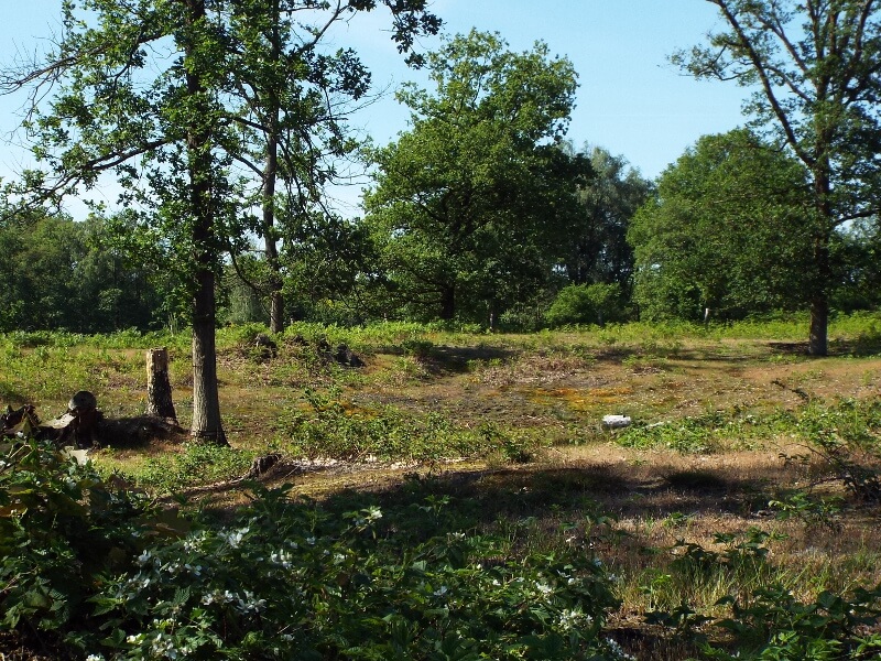
Weerter and Budelerbergen.
The IJzeren Man is a fen-rich recreation and nature reserve with a large pond, the Grote IJzeren Man, at its edge. The Boshoverheide and the Weerter- and Budelerbergen consist of coniferous forests, dry heathlands, and drifting sands. Much of it is a military training ground. An extensive urn field lies on the Boshoverheide heathland. The burial mounds are approximately 2,500 to 3,000 years old and date from the late Bronze Age and early Iron Age. During that period, people were cremated and then buried in an urn within a small burial mound. Because people were buried close together, entire fields of small mounds developed. It is the largest urn field in the Netherlands and even one of the largest in Northwest Europe. Much of it has disappeared or been destroyed over time. The Iron Rhine, a railway line that once connected Antwerp and Mönchengladbach, runs through the area. Since 1992, the section between Roermond and Dalheim in the Meinweg nature reserve has been closed. After leaving the Weerter and Budeler Mountains, the circular walk continues through the Weerterbos, a forest situated in a lowland area featuring fens, marshy areas, and a large area of open grassland. Visitors to the red deer habitat will pass the beautiful stream, the Oude Graaf, and a border church monument. The border church monument is a reminder of the period from 1648 to 1795. During that period, a national border ran between the Republic of the United Netherlands and the Spanish. To accommodate Catholics, who were not allowed to practice their religion publicly in the Republic, a small church was built just across the border. The Hugterheide consists of drifting dunes, mainly covered with pine trees. The forest area is mostly characterized by pleasant winding forest paths, after which the circular walk ends at the station in Maarheeze.
Download PDF for route description and map.
This hike offers the option of walking through the red deer habitat, stopping at the Daatjeshoeve refreshment stop along the way. The total length of the loop hike is then 24.5 km.


Walks Limburg.