


Distance: 20 km
Time: 4h30
Grade: Moderate
Type: Circular
GPS Track: Yes
Height gain: No info
Trail: 94% unpaved
Wheelchair: Not suitable
Dog: Allowed on a leash
Marking: See PDF
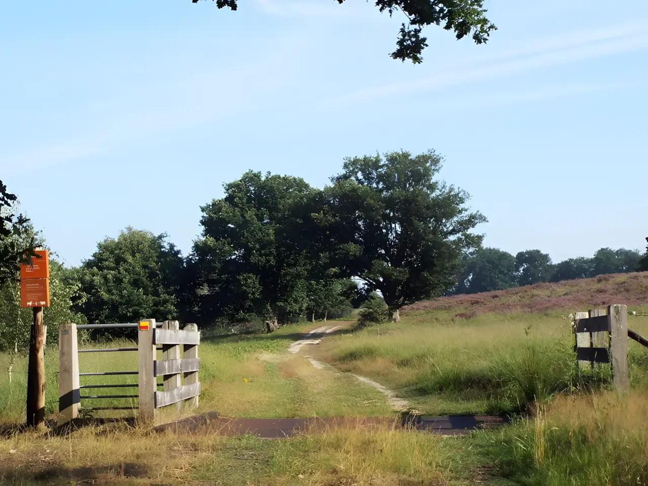
Hike through the wooded part of the Meinweg National Park, along the Rode Beek that forms the border with Germany and the river Roer. The Rode Beek is a beautiful meandering brook that originates just across the border in Germany. It forms the national border between the hamlet of Vlodrop Station and the village of Vlodrop about 5 km away. There are two water mills along this stream: the Dalheimer Mühle on the German side and the Gitstappermolen on the Dutch side.
- Download PDF for directions and map of the walk.
- Dogs are not allowed on a boardwalk through the stream valley of the Rode Beek. An alternative route is available for walkers bringing a dog.
The Meinweg National Park.
Route description
- The Rode Beek flows into the Roer near Roermond, a tributary of the Meuse.
- Besides following the Rode Beek, this walk also runs along a meandering stretch of the Roer and through Meinweg National Park.
- This is a unique terraced landscape with steep transitions between the terraces, formed by erosion and shifts in the earth's crust along three fault lines.
- Along the Peelrandbreuk (Peel Boundary Fault), a severe earthquake measuring 5.8 on the Richter scale occurred in 1992.
- In the wooded part of De Meinweg, the walk follows a disused stretch of the Iron Rhine railway.
- Initially, the plan was to dig a canal as a direct connection to Antwerp; later, a railway line was preferred instead, hence the name Iron Rhine.
- Other points of interest include the chapel and cemetery of the former Franciscan monastery Sint Ludwig, the manor farm Beatrixhof, and a monument for war victims of the Second World War.
- Daelenbroeck Castle, now a hotel-restaurant, was first mentioned in the early fourteenth century and was used by Godfried van Heinsberg as a residence and hunting lodge.
- The current complex dates from 1707.
Map & Poi's.
Accessibility & Catering.
6075 NA Herkenbosch Meinweg 2 Visitor Center de Meinweg.
You can park in the large parking lot at the visitor center.
Restaurant Dalheimer Mühle.
41844 Wegberg Mühlenstraße 15.
Website: www.dalheimer-muehle.de
Gitstappermolen.
6063 NT Vlodrop Gitstappermolenweg.
Website: www.gitstap.nl
Restaurant & Brasserie Kasteel Daelenbroeck.
6075 EZ Herkenbosch Kasteellaan 2.
Website: www.daelenbroeck.nl


Downloads.
Discover more walking routes in Limburg.
Rode Beek Tour
Hike through the wooded part of the Meinweg National Park, along the Rode Beek that forms the border with Germany and the river Roer. The Rode Beek is a beautiful meandering bro...
The Gulperberg
Leudal tour
Walking tour through the Leudal nature reserve, a wooded area with stream valleys and a higher open area with heath. The Leubeek (upstream the Tungelroyse Beek) and the Zelsterbeek fl...