


Distance: 18 km
Time: 4h00
Grade: Moderate
Type: Circular
GPS Track: Yes
Height gain: No info
Trail: 66% unpaved
Wheelchair: Not suitable
Dog: Allowed on a leash
Marking: See PDF
The hike starts at the Visitor Center National Park De Meinweg and goes through a part of the National Park De Meinweg and then returns along the German side of the Rode Beek.
- Download PDF for directions and map of the walk.
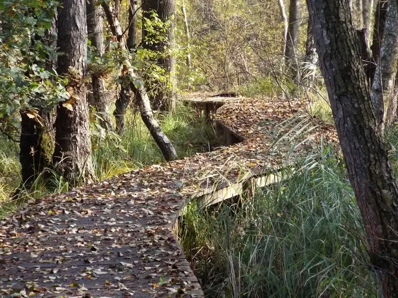
- Dogs are not allowed on a boardwalk through the stream valley of the Rode Beek. An alternative route is available for walkers bringing a dog.
Rode Beek.
Route description
- Both areas are part of the German-Dutch border park Maas-Swalm-Nette.
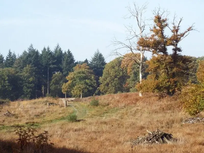
- The Meinweg is a unique terraced landscape, with steep transitions between the terraces.
- The terraces were created in the course of tens of thousands of years due to recessing of the Maas and shifts in the earth's crust along the three fault lines that run through the area.
- One of these fault lines is the well-known Peel Edge Fault.
- One of the two streams that flow through this area is the Rode Beek, a beautiful meandering stream that originates just across the border in Germany and forms the national border between Vlodrop Station and Vlodrop.
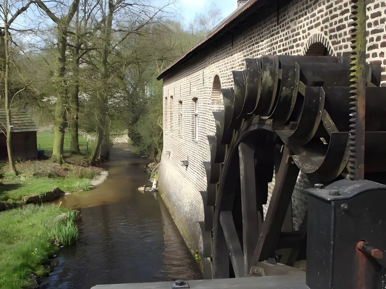
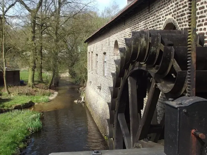
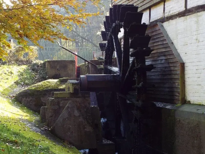
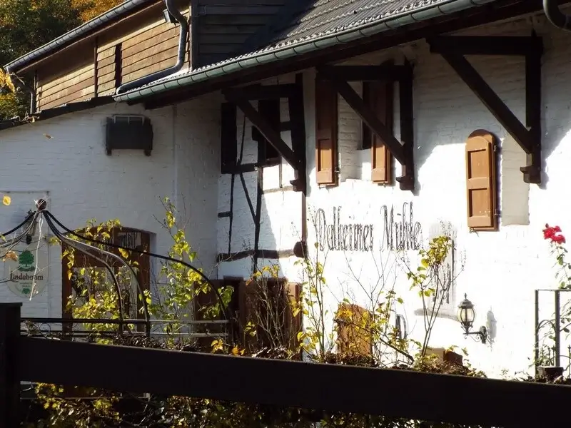
- There are two water mills along this stream: on the German side, the Dalheimer mill, and on the Dutch side, the Gitstapper mill, from which the name of this walk is derived.
- The paddle wheel of the Gitstapper mill is just on the Dutch side.
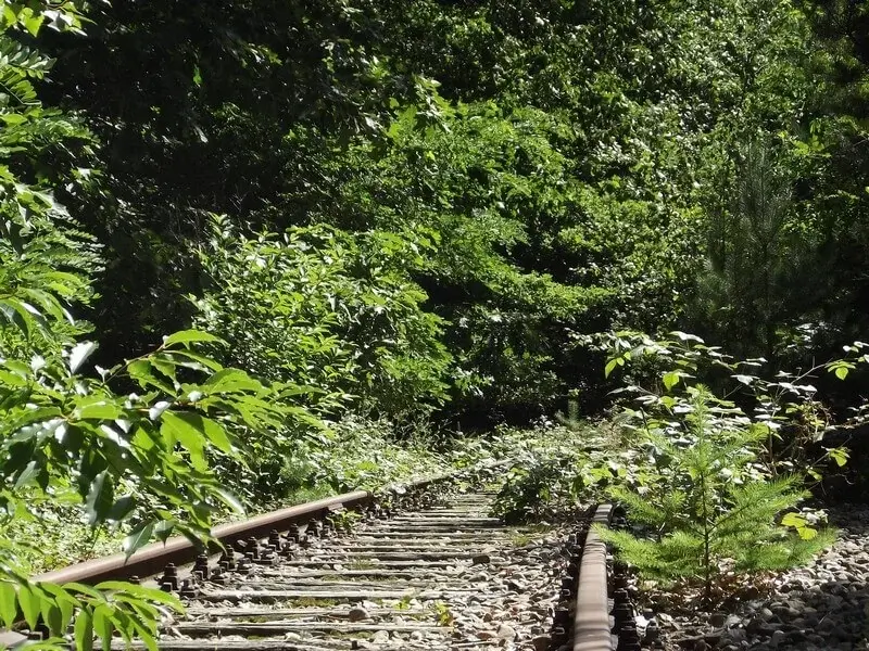
- The walking tour follows a section of the Iron Rhine, a disused railway line. Initially the intention was to dig a canal, but later on a railway line was preferred, hence the name Iron Rhine.
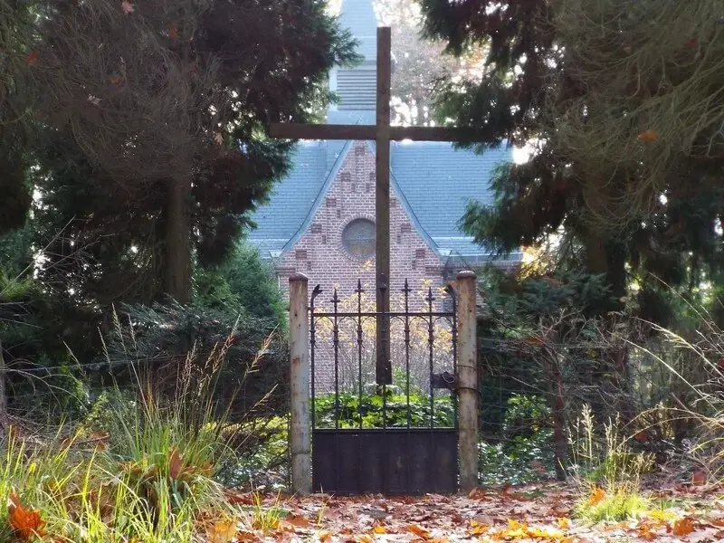
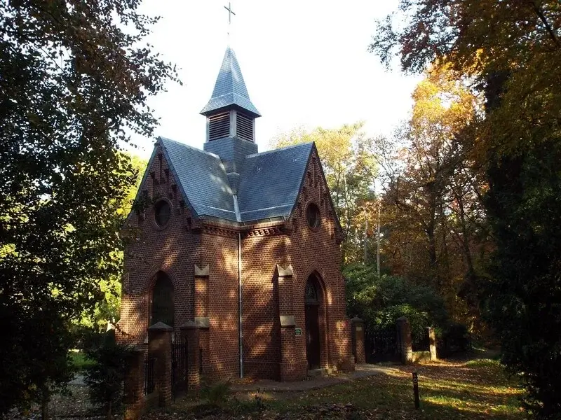
- Furthermore, one passes a chapel with a cemetery of a former Franciscan monastery complex.
- In 2012, Staatsbosbeheer renovated the dilapidated chapel.
Map & Poi's.
Accessibility & Catering.
Starting point:
6075 NA Herkenbosch Meinweg 2 Visitor Center de Meinweg.
6075 NA Herkenbosch Meinweg 2 Visitor Center de Meinweg.
Parking:
You can park in the large parking lot at the visitor center.
You can park in the large parking lot at the visitor center.
Catering along the way:
Restaurant Dalheimer Mühle.
41844 Wegberg Mühlenstraße 15.
Website: www.dalheimer-muehle.de
Gitstappermolen.
6063 NT Vlodrop Gitstappermolenweg.
Website: www.gitstap.nl
Restaurant Dalheimer Mühle.
41844 Wegberg Mühlenstraße 15.
Website: www.dalheimer-muehle.de
Gitstappermolen.
6063 NT Vlodrop Gitstappermolenweg.
Website: www.gitstap.nl
Downloads.
Send GPS file
Send hiking brochure
Discover more walking routes in Limburg.
Bergerheide Tour
Walking tour through the Bosserheide and the Bergerheide both areas are part of the Maasduinen National Park. The Bosserheide is an area that consists of coniferous forest with small open spaces with ...
Read moreRavenvennen Tour
Walking tour in the Maasduinen National Park through the nature reserves Arcen Estate, the Ravenvennen and through Barbara's Weerd. The Leeremarksche Heide in nature reserve Arcen Estate and the Lomme...
Read moreThe Gulperberg
This hiking route takes you to the southern hamlet of Landsrade, between the rolling hills, the vast farmlands and the waving fields. On the Gulperberg you have a beautiful view of the Heuvelland and ...
Read more