Walking route
Barranco de Ajuez.


Barranco de Ajuez.
This walk in the Sierra de Espadán nature reserve goes through the beautiful valley of Ajuez to the abandoned mine El Socavón and the Nevera de Castro, an old snow pit from the 18th century. The route returns along the old mine of San Francisco and the viewpoint of the Peña del Castellet.
Distance: 7.5 km.
Time: 3u30.
Grade: Moderate.
Type: Circular.
Gps Track: Yes.
Route description: Yes.
Wheelchair: Not suitable.
Dog: Allowed on leach.
Height gain: 483 meter.
Trail: 80% unpaved.
Marking: PR-CV138 - White-Yellow.
Hiking shoes recommended.
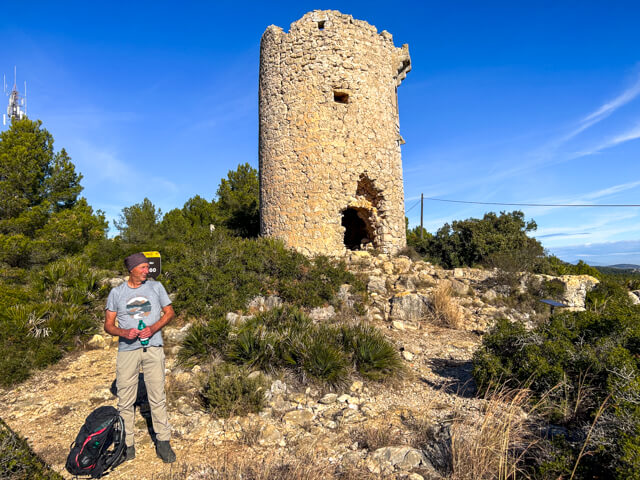
Nevera de Castro.
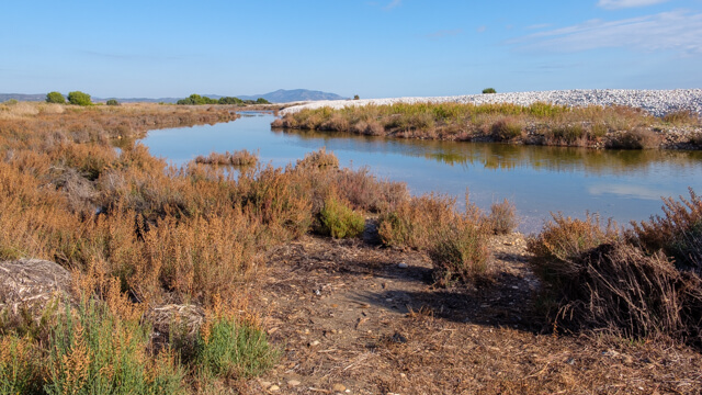
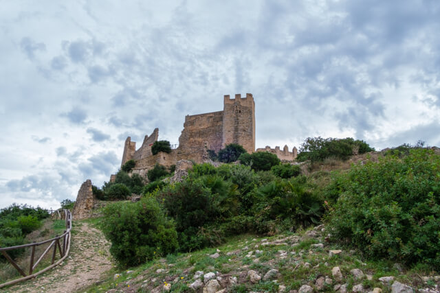
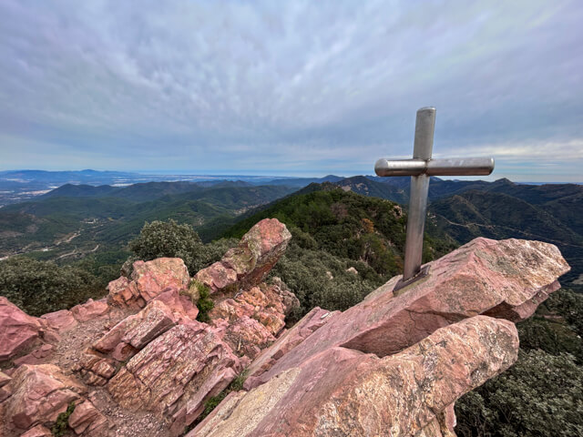
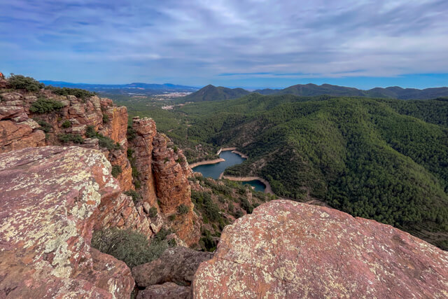
From the village you walk to the Ajuez reservoir, which is part of a very old irrigation system. From the reservoir you climb along a winding mountain path between the cork oaks through the Ajuez valley. At the Fuente Fresca you come to an area with lush vegetation, where large ferns thrive. A little further you come to a viewpoint where you can see the entire gorge and Chóvar in the background. A little further you walk to the abandoned mine of El Socavón where cinnabar was extracted. Cinnabar is a bright red mineral from which mercury is extracted. You can see the remains of machinery, the rails with some wagons and the mine entrance, which is closed due to the potential danger of collapse. From the mine you now walk along the Nevera path to the restored Nevera de Castro, dating from the 18th century and restored in 1995. The explosive increase in snow consumption in the 16th century led to the construction of an extensive network of snow pits throughout Valencia. These provided the population with ice, for food preservation, medicinal or simply gastronomic purposes. At the back of the Nevera you have a beautiful view and in the distance you can see the ruins of the Castell de Castro. From the ice pit it is a short climb before you descend to the ruins of the old iron ore mines San Francisco that were part of the Hemblar mines and halfway down you can climb to the right to the Peña del Castellet from where you have a beautiful view of the Ajuez valley. Via the reservoir you walk back to the village.
Download PDF for route description and map.
Good markings with direction indicators at important intersections.
Caution is advised around the ruins and old mine shafts.
POI 1 - Sierra de Espadán.
The geology of the Sierra de Espadán is characterized by striking red sandstone formations and steep cliffs. It is also one of the few places in Spain with extensive cork oak forests. Chóvar is known for its historical mines, which were mainly focused on the extraction of iron ore and other minerals. From Roman times and later during the Middle Ages and the Industrial Revolution, iron ore was mined in the mountains around Chóvar. This iron was used for weapons, tools and construction materials.
More walks Castellón.