


Distance: 9 or 12 km
Time: 5h00
Grade: Moderate
Type: Circular
GPS Track: Yes
Height gain: 600m or 950m
Trail: 98% unpaved
Wheelchair: Not suitable
Dog: Not recommended
Marking: PR-CV-415 - White - Yellow
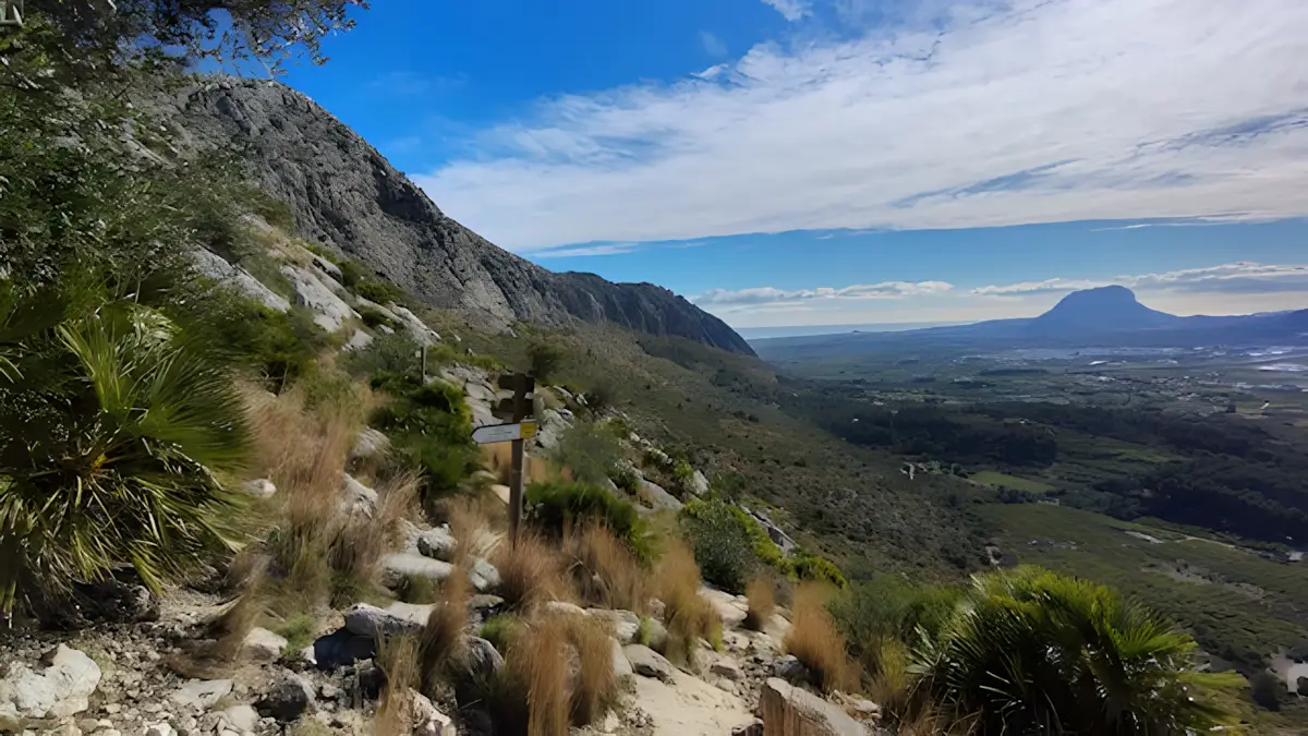
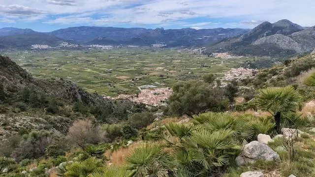
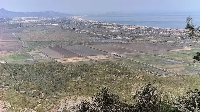
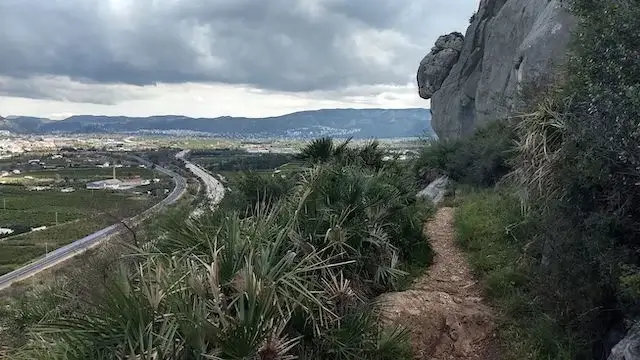
The Sierra de Segària is a mountain range between Ondara and Pego, running perpendicular to the sea. Using the circular route PR-CV 415 as a basis, we hike past old water channels, the ruins of an old Iberian village, and the castle. We take a look inside the Cova del Bolumini and the Cova Fosca, and pass the Font de Català en la Basseta — an old water complex consisting of two wells and a gutter. Along the way, from the Portet de Beniarbeig and the Portet d’Ondara, we enjoy magnificent views of the coast, the rice fields of Pego, and the interior with its valleys, picturesque villages, and mountains, of which the Montgó is the most striking.
- Download PDF for directions and map of the walk.
- The PR-CV 415 is 9 km long as a base route with 600 meters of elevation gain. Those who also include the extra loops past all the POIs turn it into a tough day hike of 12 km and 950 meters of elevation gain.
The Sleeping Stone Giant.
Route description
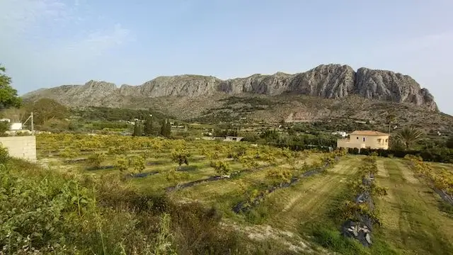
The Sierra de Segària, also known as "The Sleeping Stone Giant", is a remarkable mountain. The ridge spans a length of 6 kilometers, covers an area of 94,000 m², and reaches a maximum altitude of 506 meters. Nestled between the Girona Valley and the Oliva-Pego plain, it creates a truly impressive silhouette.
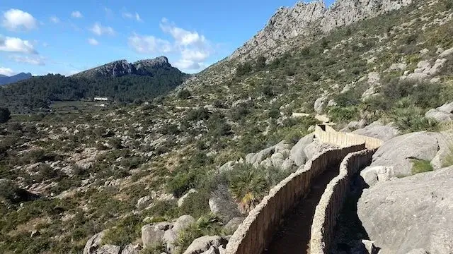
- After a short climb, you first walk through the historic water channels.
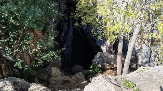
- Cova del Bolumini (POI 1): An optional, steep out-and-back hike to an impressive cave.
- La Basseta (POI 2): After passing through the forest, you reach this historic water spring with its trough.
- Mirador de Segària (POI 3): After a steep climb, reward yourself with a panoramic view over the Orba Valley and the mountains of Vall d’Ebo. You will also find a convenient picnic area here.
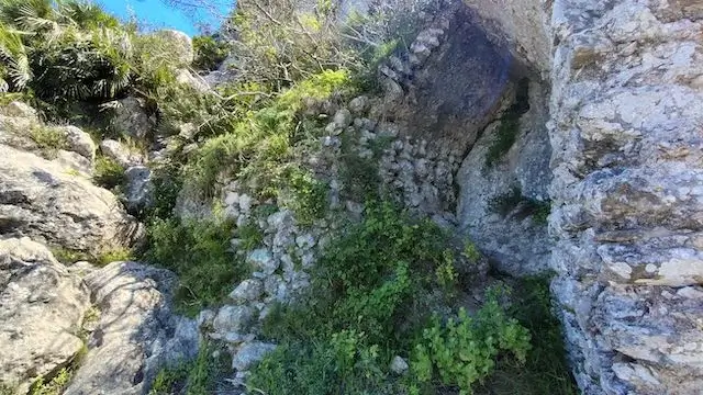
- Poblat Ibèric (POI 4): Just past the antenna masts, you will see the stone walls of this ancient Iberian settlement on your left.
- Castle of Segària (POI 5): At the start of the steep descent, you can take a detour to the right to see the castle ruins.
- Portet de Beniarbeig (POI 6): A short but very steep climb assisted by safety chains. Please note: due to the chains, this section is not suitable for dogs.
- Font de Català (POI 7): A spring near a quiet hamlet (no picnic area). From here, you ascend again through the forest with stunning views over the Pego rice fields.
- Portet d’Ondara & Avenc del Portell (POI 8): On the right-hand side, you will find the turn-off to this mountain pass featuring a deep, vertical (yet inaccessible) cave. From here, you have a great view of the starting point.
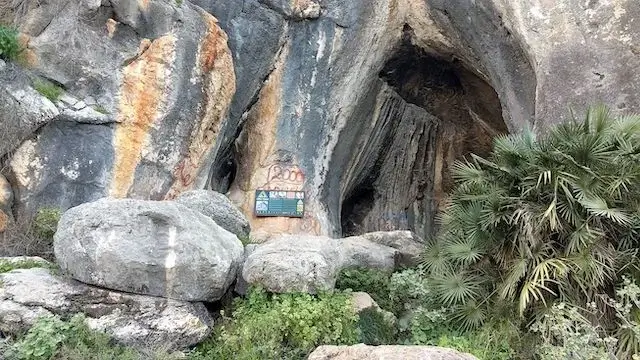
- Cova Fosca (POI 9): Beyond Penya Roja, you descend toward the Moorish caves, of which the Cova Fosca is the most prominent.
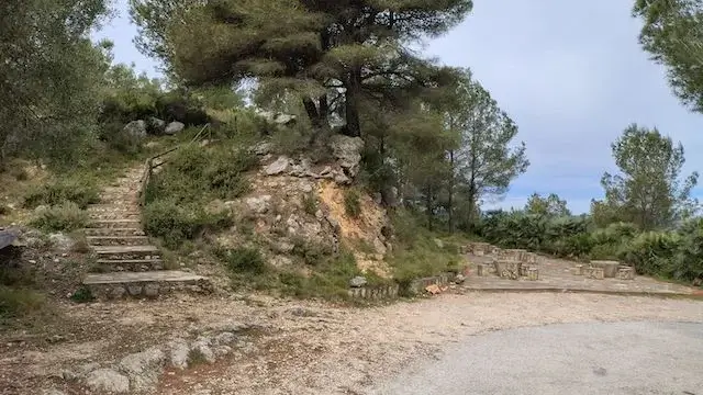
After one final short, steep descent, the route finishes with a relaxing, flat walk back to the start and parking area.
Map & Poi's.
POI 2 - Cova del Bolumini.
This deep cave was first used as a dwelling and served as a burial site during the Early Bronze Age, possibly even a sanctuary. During the summer solstice, sunlight creates a luminous phenomenon inside the cave. If you were to climb further up from here, you would reach the Portet de Beniarbeig (POI 6) and then continue down to WP8. For our hike, however, we return down to WP2.
POI 6 - The castle of Segària.
The castle, presumably merely a small tower, was built in the thirteenth century by the Almohads. There is a small ledge or platform, bounded by a masonry wall with three parallel walls of masonry and tapia, now largely covered with bushes. A few meters further on, a rectangular water reservoir is situated on the almost vertical rock face. With some effort, one can climb from here to the upper part of the ridge, where remnants of other walls and a rock-covered cistern can be found.
POI 7 - Portet de Beniarbeig.
This pass forms the crossing on the ridge between Cova del Bolumini (POI1) and WP8. From here, you have a view of both valleys and the surrounding meadows. For our hike, we are only doing the out-and-back from WP8. This section is very steep, equipped with safety chains, and is therefore not suitable for dogs.
POI 9 - Portet d’Ondara.
This pass forms the traverse on the ridge from the starting point to WP10. Near the pass, you will find Avenc del Portell, a deep, inaccessible cave, and you can optionally continue over difficult terrain to the summit of Segària.
POI 10 -Morro de les Coves.
These are several caves, of which the Cova Fosca is the most important. It has a cavity approximately four meters wide and about seven meters high. Inside, there are two chambers, which continue with a long and wide inner gallery from which other attached passages branch off. It is connected to the Sacred Cave by a descending cavity of approximately 25 meters. It has served various functions: first as a dwelling and later as a burial cave. Later, in the Iberian period, it was used as a sanctuary until the Roman era.
Accessibility & Catering.
03760 Ondara Partida Vinyals at Alberg de Segària.
Aparcamiento Serra de Segària.
The starting point cannot be reached by public transport.
Alberg de Segària
03760 Ondara Partida Vinyals.
None.

Downloads.
Discover more walking routes in Alicante.
Around Lliber
Els Anouers
Looking for a beautiful hike in the Sierra de Crevillent? The PR-CV 110, better known as the "Els Anouers" route, departs from the beautiful Barranco de Sant Cayetá and takes you to on...