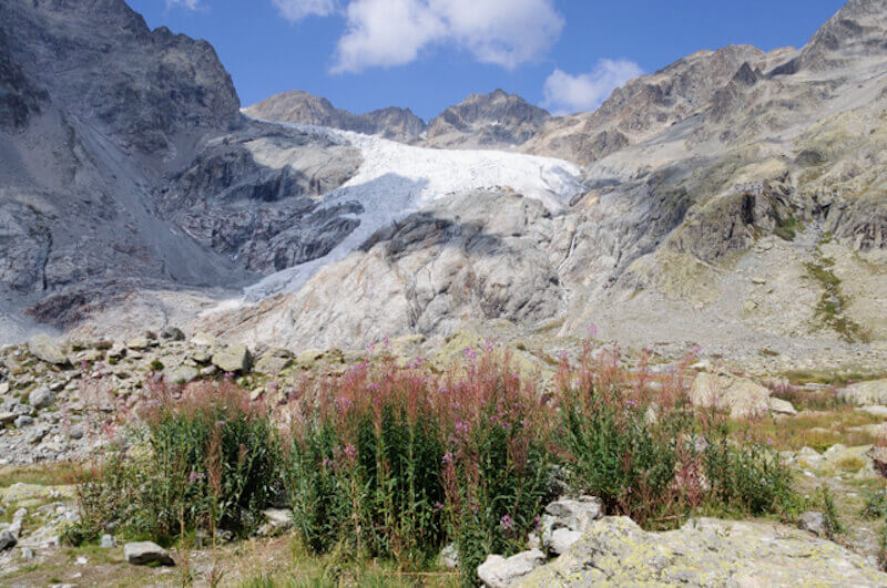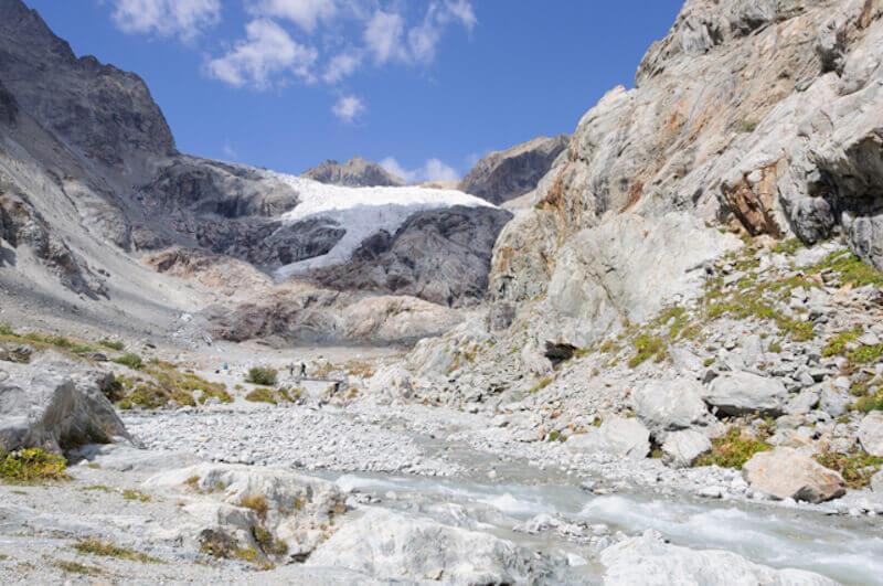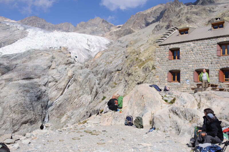
This walking route is an absolute must do if you are in the Hautes-Alpes region. You will never be alone on this hike but you will not be able to reach a glacier so easily anywhere else in that region. From the Pré de Madame Carle refuge you walk to the Ancien Refuge Tuckett. Via a flatter path it continues in the direction of the refuge du Glacier Blanc that you can see from far away. At the refuge du Glacier Blanc, at an altitude of 2542 meters, you can enjoy the view of the Glacier Blanc from one side and the other on the majestic Mont Pelvoux and the Pic Sans Nom.
Distance: 9 km.
Time: 3h30.
Grade: Heavy.
Type: Back and forth.
Gps Track: Yes.
Route description: Yes.
Wheelchair: Not suitable.
Dog: Not allowed.
Height gain: 675 meters.
Trail: 100% unpaved.
Marking: Signs - red stripes and cairns.
Hiking shoes recommended.
Advertisement.
An immense glacier.
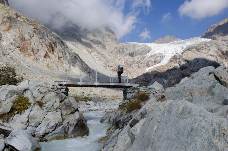
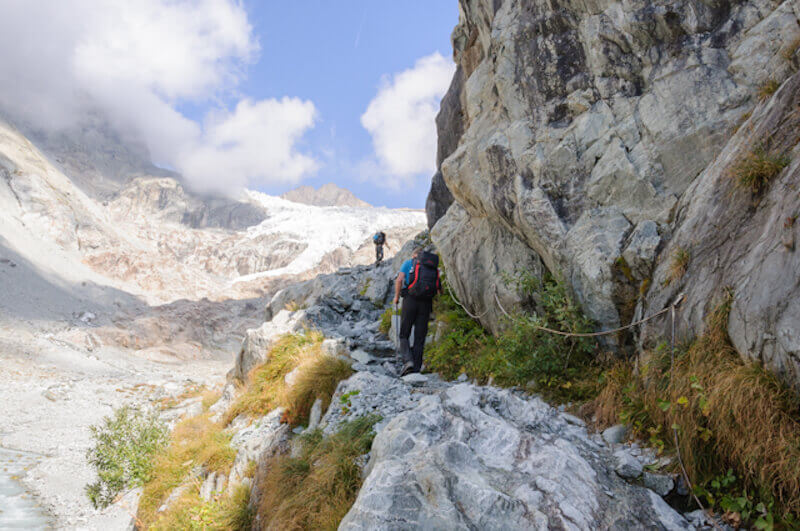
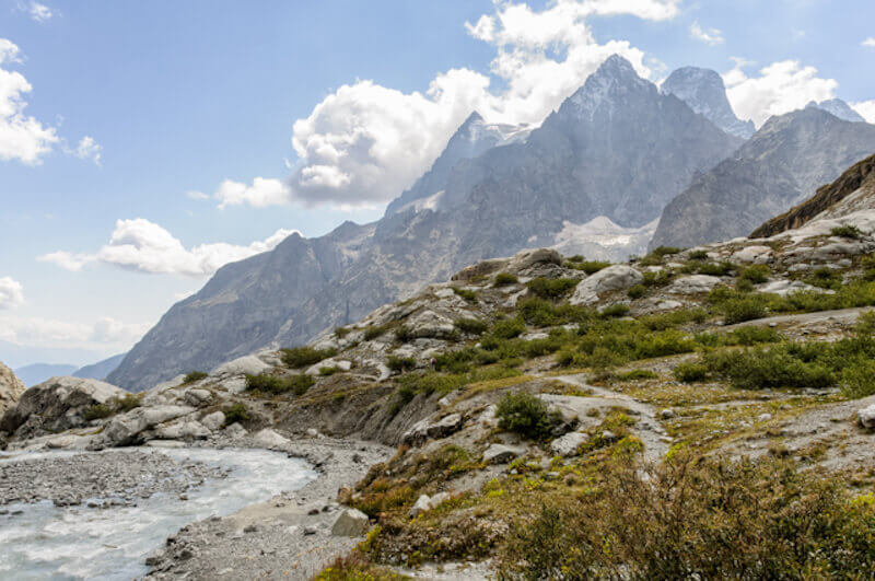
Although people are walking on the most impossible shoes here, the path is not really easy. Around 1860 the glacier came to the starting point, now you ascend for a long time on the stony path before the glacier shows. Pay close attention to the cairns and paint marks. You cross a wooden bridge and walk over a path that is secured with cables. Then carefully follow the markings on the gravel path through a chaos of rubble and boulders. You arrive at the top of a small lake and the Ancien Refuge Tuckett. You can see the Refuge du Glacier Blanc from far away. On the last stretch it goes up steeply, via a passage with footrests. Then a few big steps and you reach the hut.

Download PDF for route description.
Keep in mind that the weather conditions can change quickly!
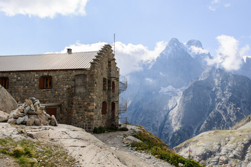
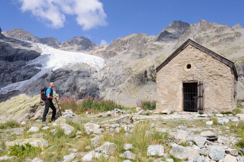
POI 1 - Ancien Refuge Tuckett.
The Ancien Refuge Tuckett is named after an English mountaineer who camped at that location in 1862. Later the Ancien Refuge was built there and served until the Refuge du Glacier Blanc was put into operation.
No additional information.