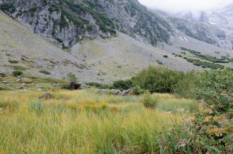
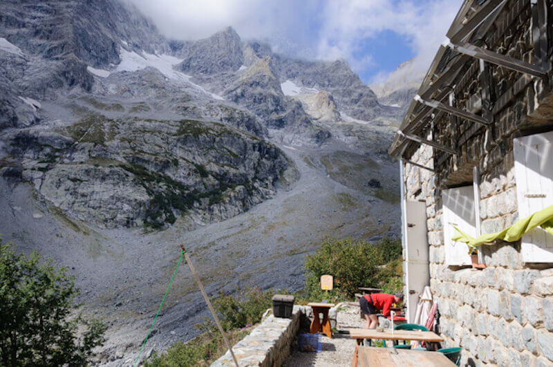
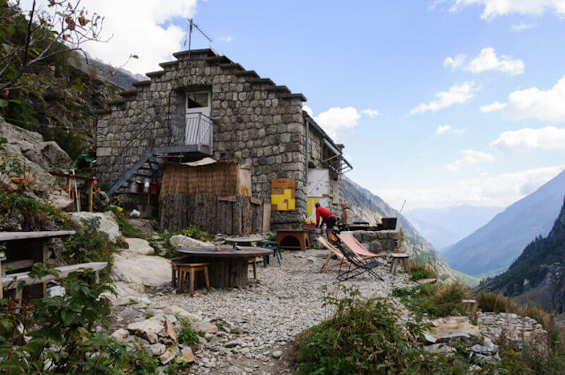
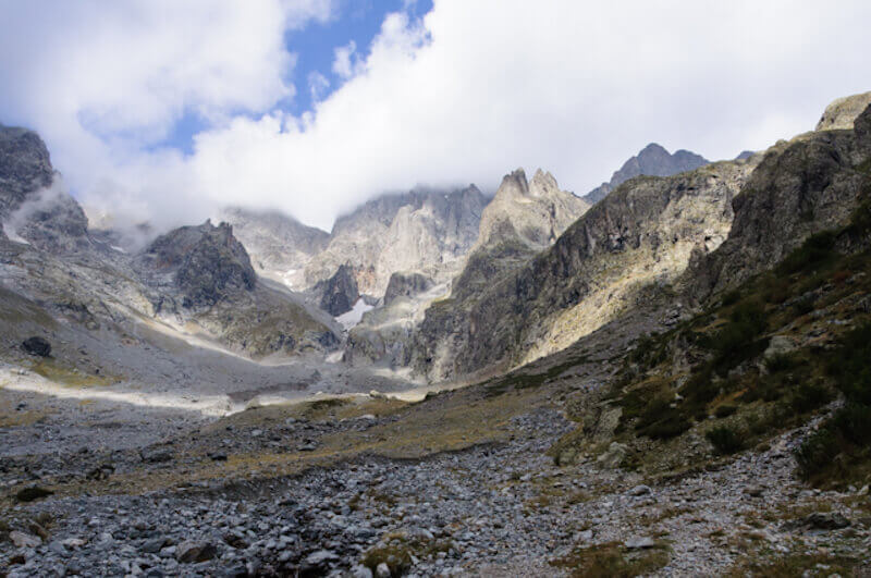
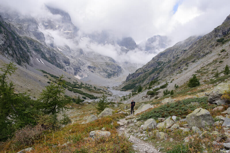
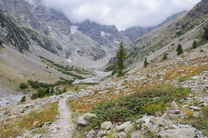
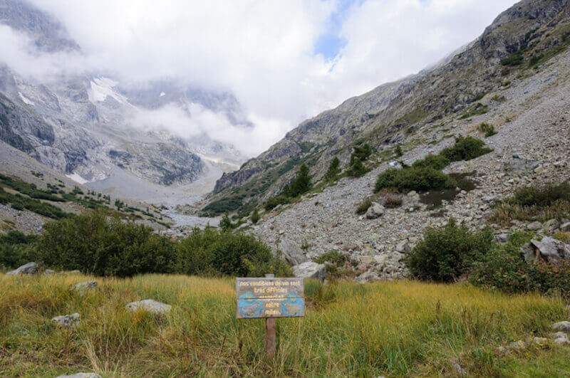
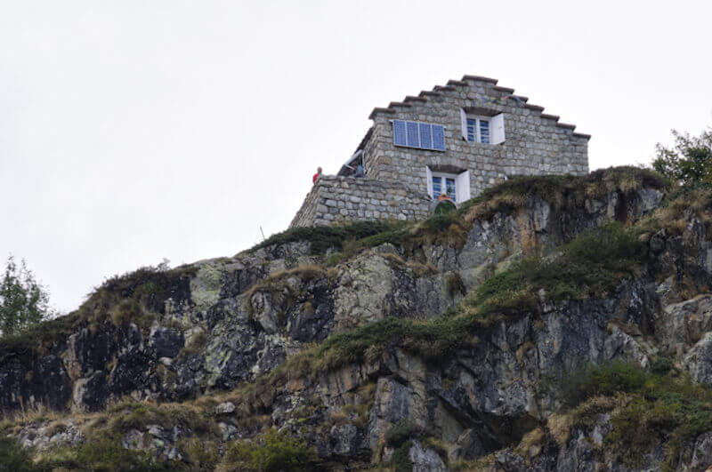
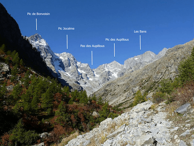
This hiking route goes through a rugged valley to the beautifully situated Refuge des Bans at an altitude of 2083 meters. You follow the course of the Torrent des Bans via a stony path. Along the way you come across a swamp and a frog pond, a special place in the high mountains. Once at the top you have a beautiful view of the cirque that closes the valley with the Pic de Bonvoisin, Pic Jocelme, Pic des Aupillous and the Sommet des Bans as a barrier, you can only pass through the Aupillous mountain pass.
Distance: 8 km.
Time: 3h00.
Grade: Moderate.
Type: Back and forth.
Gps Track: Yes.
Route description: Yes.
Wheelchair: Not suitable.
Dog: Not allowed.
Height gain: 460 meters.
Trail: 100% unpaved.
Marking: PR - Yellow dash.
Hiking shoes recommended.
Advertisement.
To a refuge located on a bastion.
The path starts in a riverbed filled with boulders full of trees through which the Torrent des Bans meanders. This is followed by a climb via zigzags along a stony path. Along the way you have to cross a few streams. The valley is becoming narrower and rougher. The last part to the refuge is secured with a cable. You return to the starting point via the same route.

Download PDF for route description.
Stay on the path when snowfields are still present.