This walk follows the Canal d'Irrigation de la Pisse through a beautiful forest to the Fontaine Du Loup and on to the Rocher du Joug with a beautiful view of the Lac de Serre-Ponçon along the way.
Distance: 8 km.
Time: 3h00.
Grade: Moderate.
Type: Circular.
Gps Track: Yes.
Route description: Yes.
Wheelchair: Not suitable.
Dog: Allowed.
Height gain: 381 meters.
Trail: 100% unpaved.
Marking: Yellow PR and Yellow-Red GRP.
Hiking shoes recommended.
Advertisement.
Fontaine Du Loup.
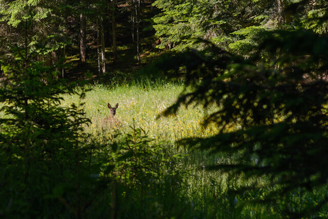
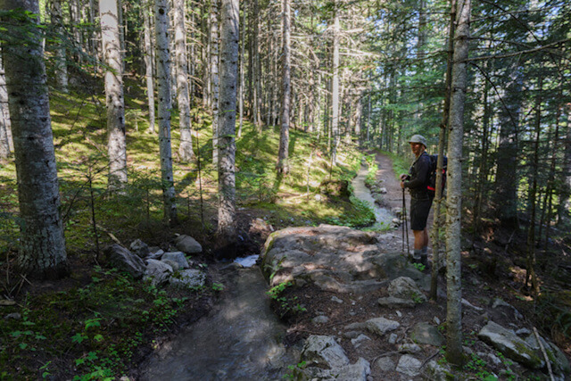
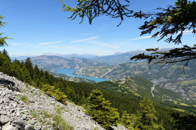
From the starting point, follow the Canal d'Irrigation de la Pisse that meanders through the forest. It immediately gives a feeling of calm. If the route leaves the section of the canal, you will come to a wide dirt road at Fontaine de Barbotane. Then you follow a dirt road up to the Fontaine Du Loup (1450m), a very beautiful clearing in the middle of pine and fir trees, an ideal place for a short break, you will find a pastoral hut and a table. It is said that the last wolf in the territory of Saint Vincent les Forts was shot here around 1930. Then you walk further in the direction of the Rocher du Joug (1700m). During a passage over a debris field you have a beautiful view of the Lac de Serre-Ponçon. At Pré Balou (1660m) you descend next to the Ravin Du Pré la Pierre to the starting point.

Download PDF for route description.
This shady walk is recommended in warm weather.