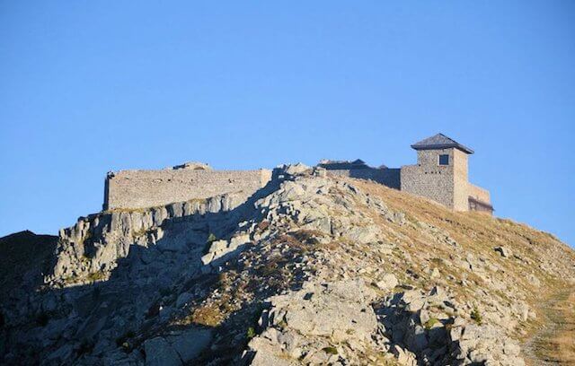
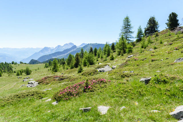
The fortress Dormillouse, built 150 years ago, the panorama of Lake Serre-Ponçon, as well as the mountain lakes of Col Bas make this walk a gem in the Alpes de Haute-Provence.
Distance: 14 km.
Time: 5h00.
Grade: Heavy.
Type: Circular.
Gps Track: Yes.
Route description: Yes.
Wheelchair: Not suitable.
Dog: Allowed.
Height gain: 599 meters.
Trail: 100% unpaved.
Marking: PR - Yellow dash.
Hiking shoes recommended.
Advertisement.
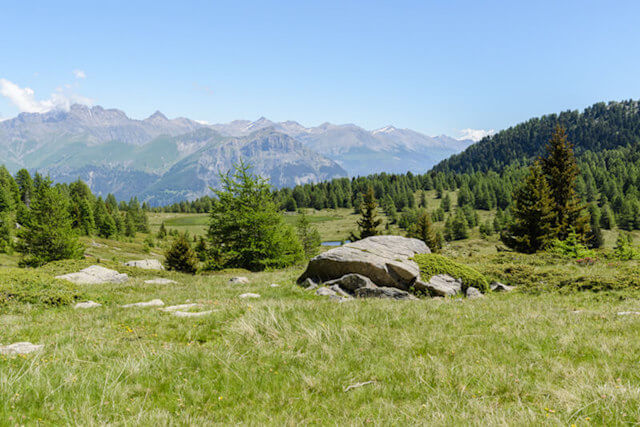
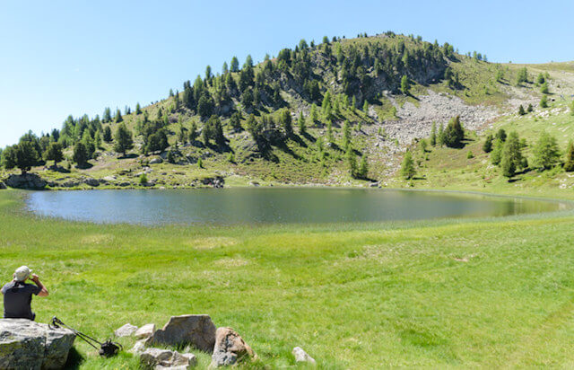
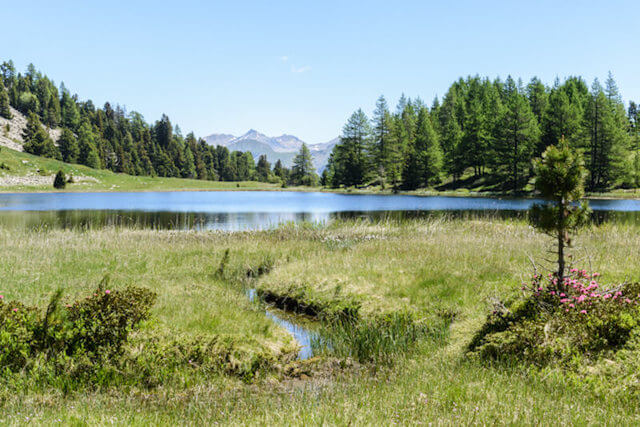
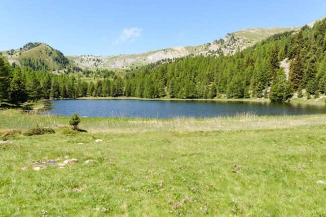
The lakes of the Col Bas.
From the Col Bas car park you climb to the top via an old military path that follows the flank of the mountain. The view of Lake Serre-Ponçon and the discovery of Fort Dormillouse reward the efforts made. The descent on the path that leads to the lakes Lac du Milieu and Lac Noir and the Col Bas shows a completely different landscape.

Download PDF for route description.
POI 1 - Dormillouse fortress.
The so-called "Col Bas" battery, built in 1862, was part of the defense system of the Southern Alps against neighboring Italy. From an altitude of 2,505 m, the fortress watched over the Ubaye valley and the passage across the pass, while also acting as a relay for an optical transmission chain connecting Grenoble to Toulon. The hairpin bends of the road designed for access to the fort are so steep that at every turn it was necessary to disconnect the horses, rotate the cannons and reattach!
No additional information.