Walk through the Bolderberg nature reserve with ponds, mixed forests, grasslands and heather. The route goes from the Galgenberg to the Weyerman and through the Vogelzang forest to the Bolderberg where you have a nice view of the ponds and the castle of Terlaemen. In domain Bovy you walk back over water to the starting point.
Distance: 13.5 km.
Time: 3h30.
Grade: Moderate.
Type: Circular.
Gps Track: Yes.
Route description: Yes.
Wheelchair: Not suitable.
Dog: Allowed.
Height gain: 109 meters.
Trail: Paved and unpaved.
Marking: Red triangle and orange circle.
Hiking shoes recommended.
Advertisement.
The Kluis.
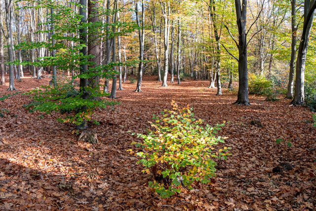
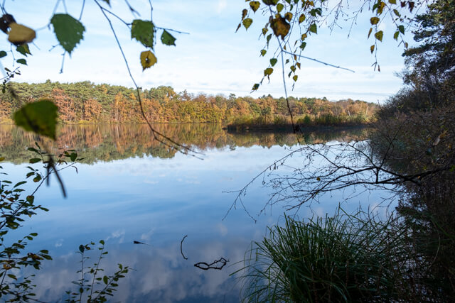
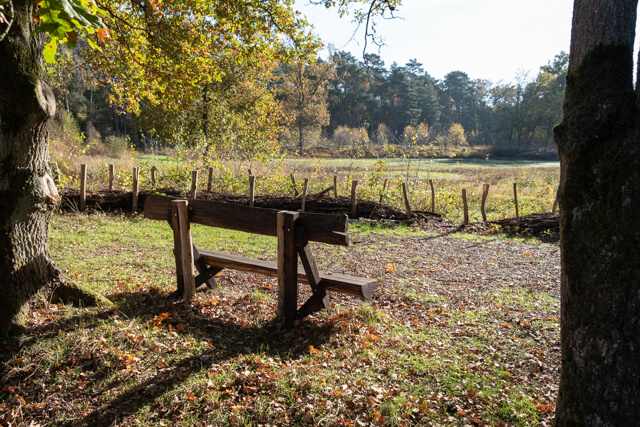
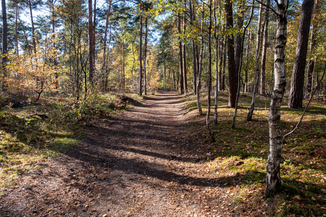
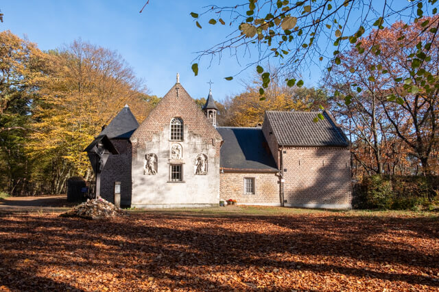
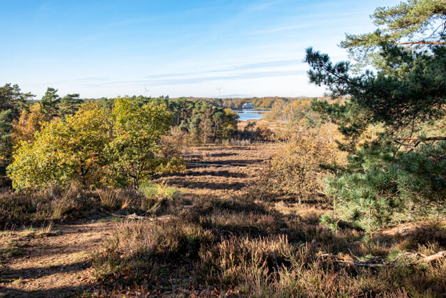
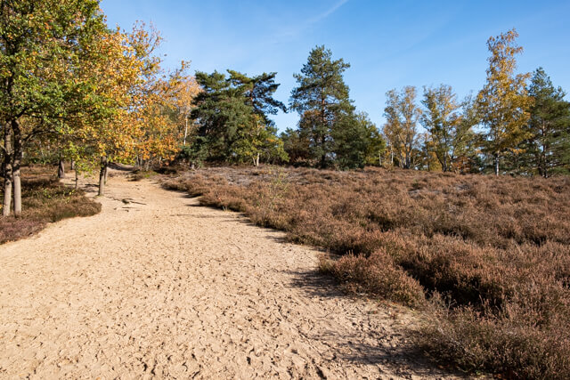
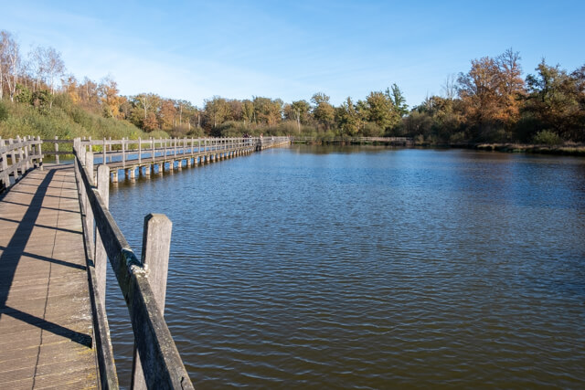
From the starting point you quickly walk into a mixed forest on the Galgenberg. Then you walk along the ponds of Terlamen of which you unfortunately cannot see much. The route continues along the Sneppekot, a swampy area in the direction of a beautiful part of the Weyerman nature reserve. This is followed by a fairly noisy and boring stretch along the Vogelsancklaan. Through mixed forest it goes up to a very old oak with bench. Here you have a beautiful view of the Hamelweyer, private property. In the Vogelzangbos you climb to the Bolderberg where De Kluis is located. The Vault dates from 1673 and consists of a chapel built according to the plans of the chapel of Our Lady of Loreto and a few living quarters. The centuries-old beeches in the area are impressive. The garden of the Kluis is surrounded by old hornbeam trees that were carefully pruned. The 7 limes planted in a semicircle in front of the building symbolize the 7 sorrows of Mary. Near De Kluis you have a nice panorama of the Terlamen ponds and the castle of Terlaemen. Through a beautiful heather landscape you walk back in the direction of the starting point, but the walk is not finished yet. At the departure point, enter the domain of Bovy and walk "over water", a nice ending.

Download PDf for route description.
Section on bicycle path along very busy road.
POI 1 - Bolderberg Nature Reserve.
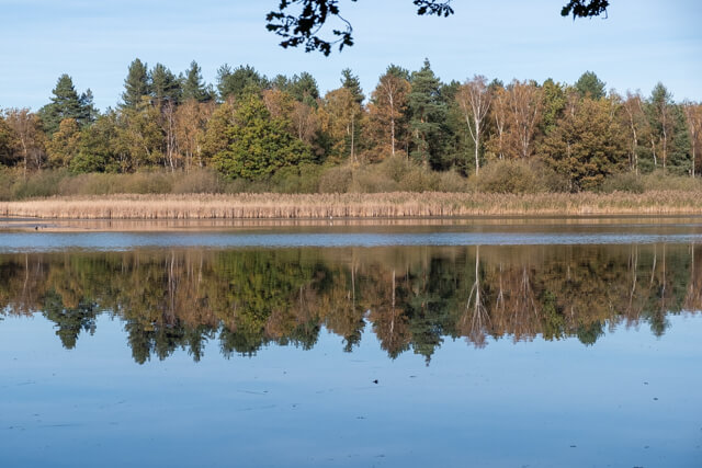
TThe Bolderberg nature reserve is part of the oldest protected landscape in Flanders. The hill is a living testimony to what Flanders once looked like 3.5 to 11 million years ago: a great sea. The sand that was deposited then changed over time into hard iron sandstone through weathering. In places where the soil was softer, such as in the valleys, the iron sandstone weathered or eroded. That is why the Bolderberg now towers nicely between the valleys of the Laambeek and the Bolderbergbeek about 20 meters above the surroundings. Formerly, the witness hill was known as "Barreberg". The Bolderberg nature reserve is of course more than just a hill. At the bottom, for example, there is a zone with seepage, the so-called Sneppekot, where wet heather and raised moor develop. At the height of the Weyerman you can now enjoy the view over three pools that were created in 2006 for valuable riparian vegetation, where the tree frog now also feels at home.
Limburgs Landschap.
www.limburgs-landschap.be.