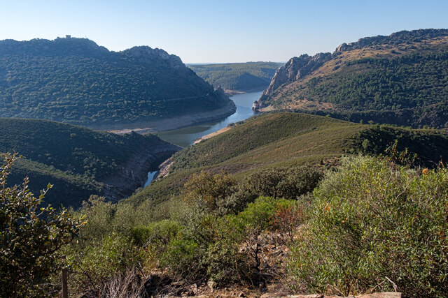
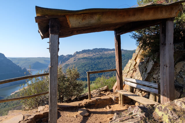
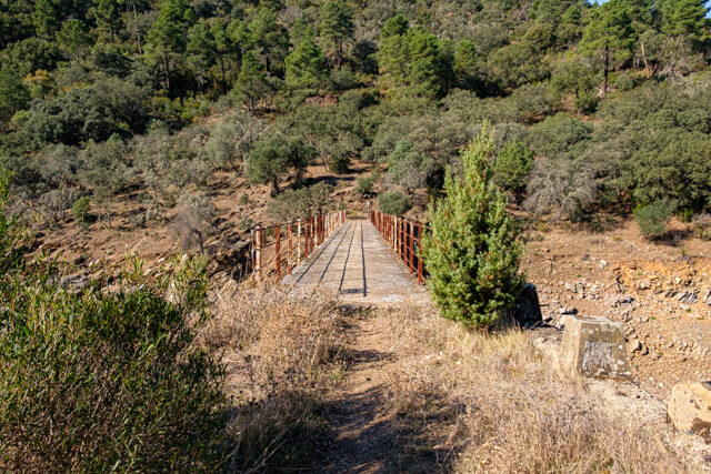
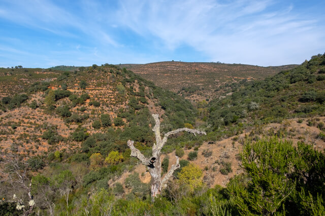
This walk goes through the valley of the Arroyo De Malcevino to the top of the Cima Cerro Gimio. Here you have a beautiful view of the valley of the Tagus and the famous Salto Del Gitano. After the climb you walk back and forth to the Puente del Horquillo, the bridge over the Arroyo Barbaon. You will almost certainly spot red deer on this part of the walk.
Distance: 9 km.
Time: 3h00.
Grade: Moderate.
Type: Circular.
Gps Track: Yes.
Route description: Yes.
Wheelchair: Not suitable.
Dog: Allowed.
Height gain: 396 meters.
Trail: 95% unpaved.
Marking: Green and White-Red.
Hiking shoes recommended.
Advertisement.
Cerro Gimio.
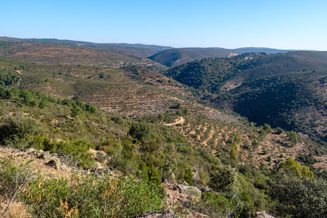
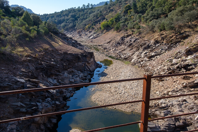
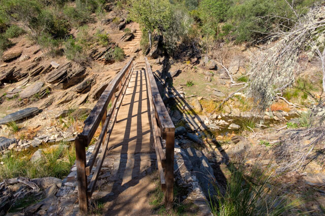
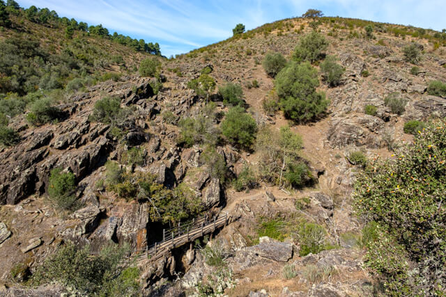
You depart from the village to the valley of the Arroyo De Malcevino. A nicely paved path takes you to this beautiful river. You follow the stream for a short while and at the Puente de Piedra you start to climb. You arrive at a crossing of paths where a beautiful picnic area has been set up. From here you will go back and forth to the top Cima Cerro Gimio at an altitude of 374 meters. Here you have a beautiful view of the valley of the Tagus and the famous rock Salto Del Gitano. You can often see griffon vultures or black vultures soaring here. When you are back at the intersection, walk back and forth through a mixed forest to the bridge over the Arroyo Barbaon at Puente del Horquillo. On the trail to the Puente del Horquillo, you'll almost certainly spot red deer up close if you're quiet. These animals are not hunted in the Monfragüe National Park, which makes them less shy. Back at the intersection you now descend to the Arroyo De Malcevino, you cross the bridge and you now go back to Villareal along the flank of the Lugar Nuevo.

Download PDF for route description.
Take enough drinking water along.