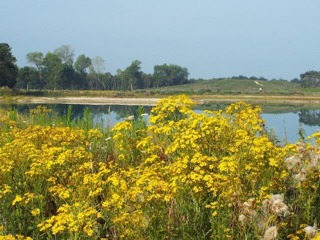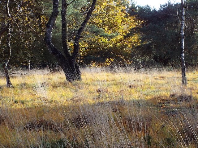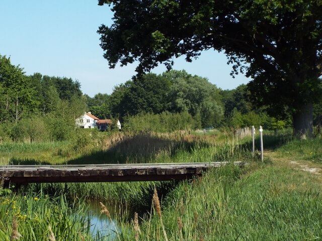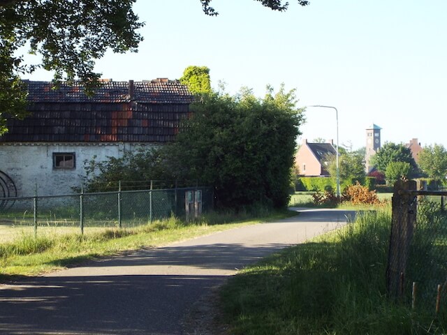
The second stage goes through the fens-rich nature reserve De IJzeren Man, along the Tungelroyse Brook on the edge of the Kruispeel and the Laurabossen to end in Altweerterheide.
Distance: 15 km.
Time: 3h30.
Grade: Moderate.
Type: Point to point.
Gps Track: Yes.
Route description: Yes.
Wheelchair: Not suitable.
Dog: Allowed.
Height gain: No info.
Trail: 82% unpaved.
Marking: See PDF route description.
Hiking shoes recommended.
Advertisement.
Bolle Jan.
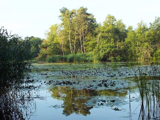
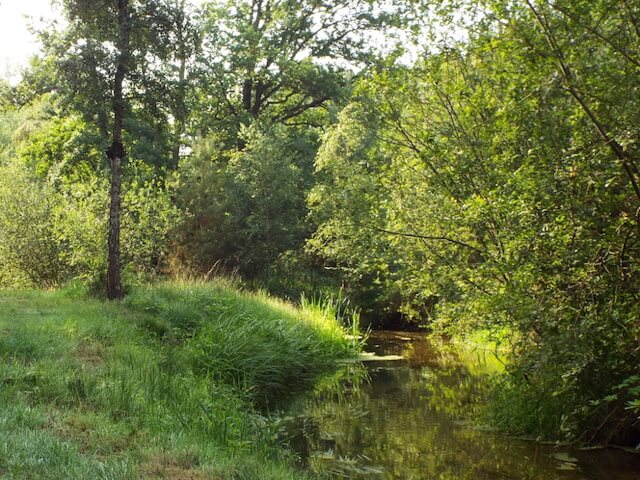
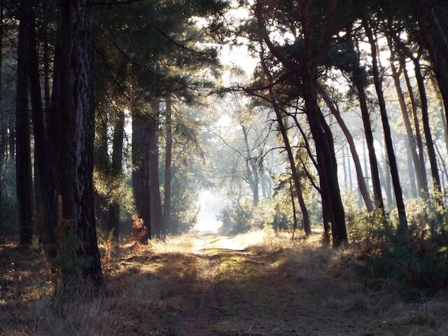
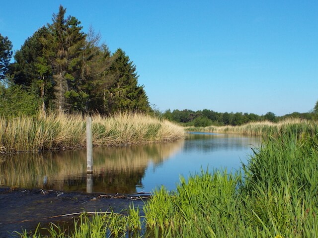
The second time the Tungelroyse Brook is followed, you walk along the last stretch of the dug upper course, which is still straight. The Kruispeel is a remnant of an extensive heather and marsh landscape. This part of the Tungelroyse Brook, with alder and birch trough forests on either side of the brook, is the part of the upper reaches of the brook that was dug to drain the then extensive swamp area and make it suitable for agriculture. The Laurabossen owe their name to the Laura mine in South Limburg. There are therefore many Scots pines in the Laurabossen, such pines were used to support mine galleries. Now the forest is gradually transformed into a varied oak-birch forest. The creation of Altweerterheide is due to the Weerter grain merchant Jan Henderiks, nicknamed Bolle Jan. This Bolle Jan bought 80 hectares of forest and heather and founded the reclamation company "Karelke" named after Karelke Schaeken, who had sold his plot of land and farm to Bolle Jan. His farm was named "Klein Karelke", the large reclamation farm was called "Groot Karelke".

Download PDF for route description.