This stage from Stramproy to Tungelroy goes through Areven, the stream valley of the Tungelroyse Beek and the Tungelerwallen.
Distance: 15 km.
Time: 3h30.
Grade: Moderate.
Type: Point to point.
Gps Track: Yes.
Route description: Yes.
Wheelchair: Not suitable.
Dog: Allowed.
Height gain: Flat.
Trail: 82% unpaved.
Marking: See PDF route description.
Hiking shoes recommended.
Advertisement.
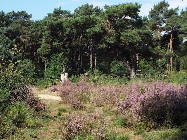
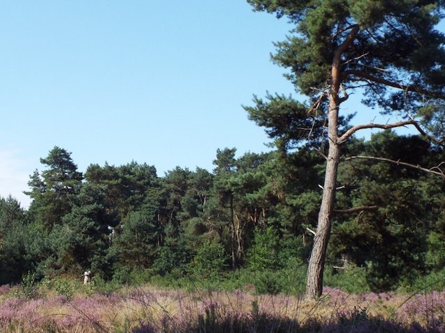
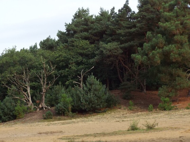
The Tungelerwallen.
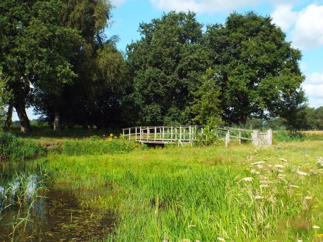
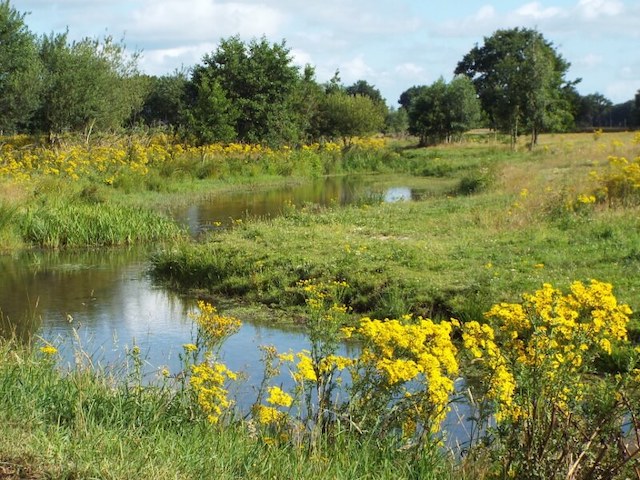
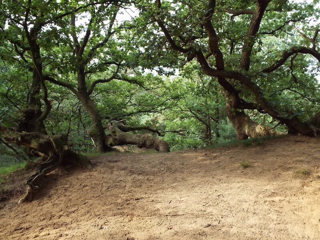
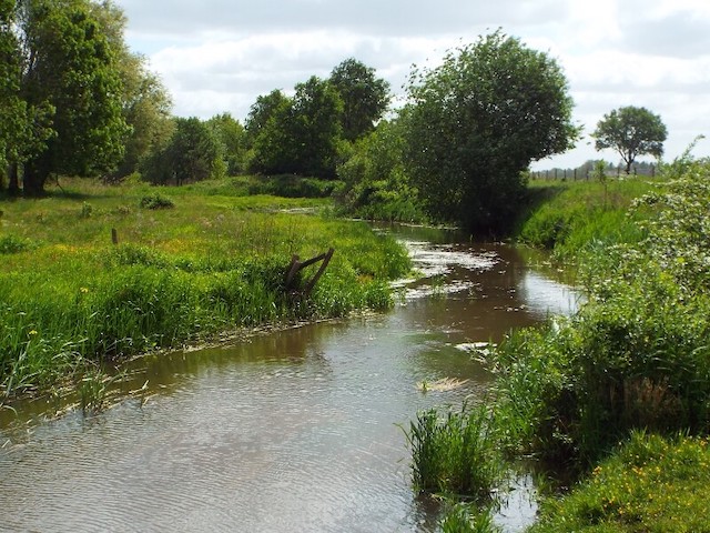
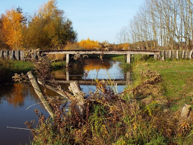
The Areven area is a varied nature reserve with woods, meadows and hayfields, a beautiful varied walking area. The Tungelerwallen is a planted pine forest that is interspersed with pieces of heather and drifting sand, in this area an elongated drifting dune is followed from which the area takes its name. In the mid-19th century, the Tungelroyse brook originated in the vicinity of the Tungelerwallen and provided the drainage of the vast swamp area Kalver Peel, which lay south of Weert. At that time, the area consisted of swampy heathland and peatland with raised moors. Later on, the headwaters of the Tungelroyse Beek were dug to drain the area. The Tungelroyse Beek has again become a meandering brook with some nice bridges. One of these bridges is a replica of a wooden brook bridge from Roman times. During excavation work on the Tungelroyse brook, remains of a wooden brook bridge from Roman times have been uncovered. This inspired a group of volunteers to build a replica of the bridge over the Tungelroyse brook.

Download PDF for route description.