The first stage starts at the St. Michael's Church in Beek, goes along the Goorloop, through the Laar, the Hooge Akkers, Hoog Strijp, along the Wilhelmina Canal and through De Beemd to the center of Aarle-Rixtel and ends at the church.
Distance: 14 km.
Time: 3h30.
Grade: Moderate.
Type: Point to point.
Gps Track: Yes.
Route description: Yes.
Wheelchair: Not suitable.
Dog: Allowed.
Height gain: No info.
Trail: 61% unpaved.
Marking: See PDF route description.
Hiking shoes recommended.
Advertisement.
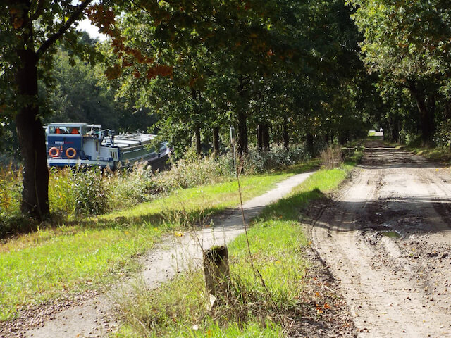
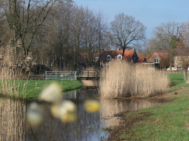
Goorloop.
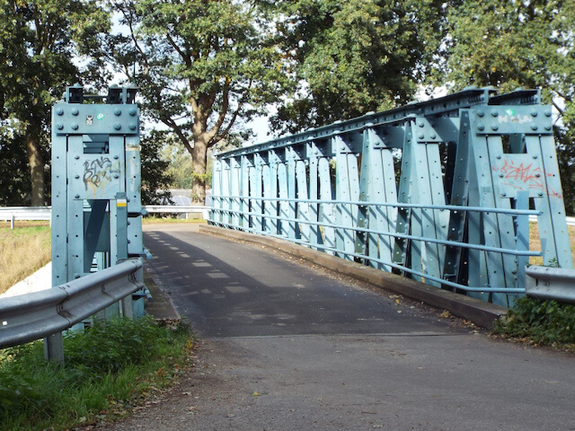
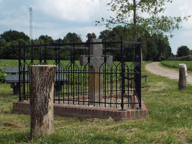
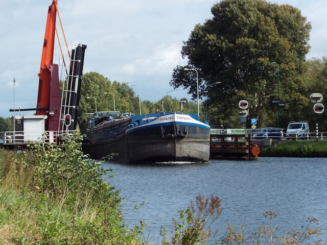
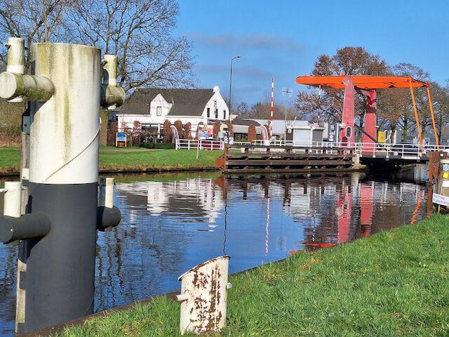
The St. Michael's Church in Beek was put into use in 1835 after the original church was demolished around 1813. The original church in Beek was built in the 15th century on the present Molenweg with a church tower. After demolition of the church building, the tower remained standing, the stage does not pass the tower but is clearly visible from the Goorloop stream. The Goorloop originates in the Sang en Goorkens nature reserve southeast of Mierlo, passes under the Eindhoven Canal, then passes through Helmond and in the municipality of Laarbeek under the Wilhelmina Canal and the Zuid-Willemsvaart and finally ends in Aa. The immediate vicinity of the stream is like a green ribbon through the municipality. In the hamlet of Het Laar, the stage goes over the Laar Bridge at the Wilhelmina Canal. The original Laar Bridge was blown up on May 11, 1940 during the withdrawal of the Dutch army. The current bridge was installed in September 1947. The first plans for a canal connecting Tilburg with the Maas date from 1794. At that time, Tilburg had an important wool industry. The actual construction started in 1910, first the section from the Amer and the Mark to Tilburg was constructed. The second section, the section from the Zuid-Willemsvaart to Tilburg, started in 1917. The opening of the entire Wilhelmina Canal took place in 1923. On the Hooge Akkers the stage passes the Hagelkruis, this crucifix is the oldest remaining in the Netherlands hail cleaning and was seen as a means to ward off hail damage to the crop. The crucifix was first mentioned in 1419 with the text: 'locally called Haghelcruys'. After following another part of the Wilhelmina Canal, the stage goes through De Beemd and then ends in the center at the Waterstaatskerk of Aarle-Rixtel. De Beemd is a small nature reserve managed by the IVN in the lowest part of Aarle-Rixtel.
Download PDF for route description and map.