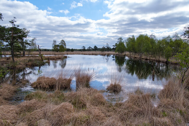
The walk goes through the beautiful Pietzmoor moor area. This nature reserve is located on the southern edge of the Lüneburgerheide nature reserve and is 8,000 years old. Along the way in spring, the cotton grass flower will certainly catch your attention. Further along the route you can enjoy the extensive heathland of the Osterheide.
Distance: 15 km.
Time: 3h30.
Grade: Moderate.
Type: Circular.
Gps Track: Yes.
Route description: Yes.
Wheelchair: Not suitable.
Dog: Allowed.
Height gain: 70 meters.
Trail: 99% unpaved.
Marking: None.
Hiking shoes recommended.
Advertisement.
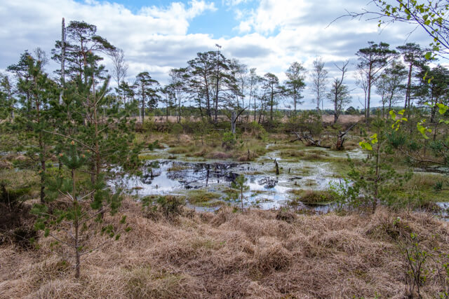
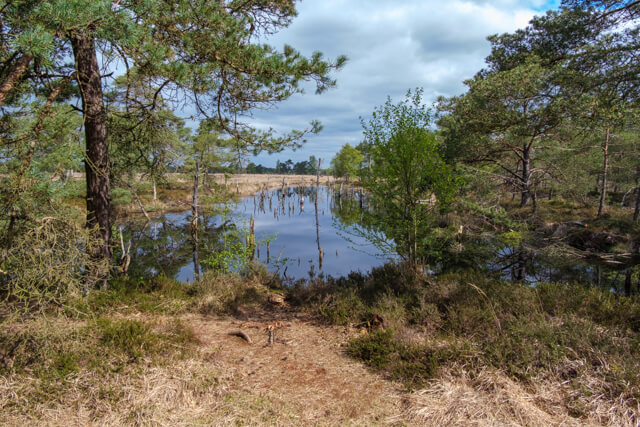
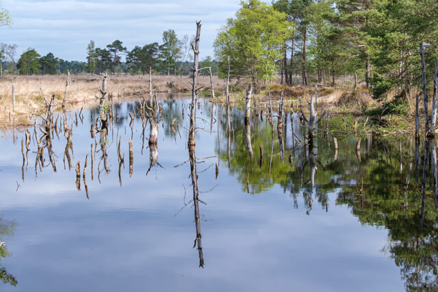
Raised bog and heath
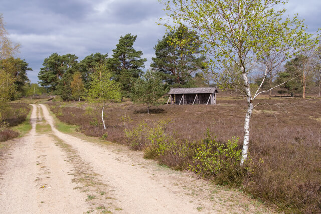
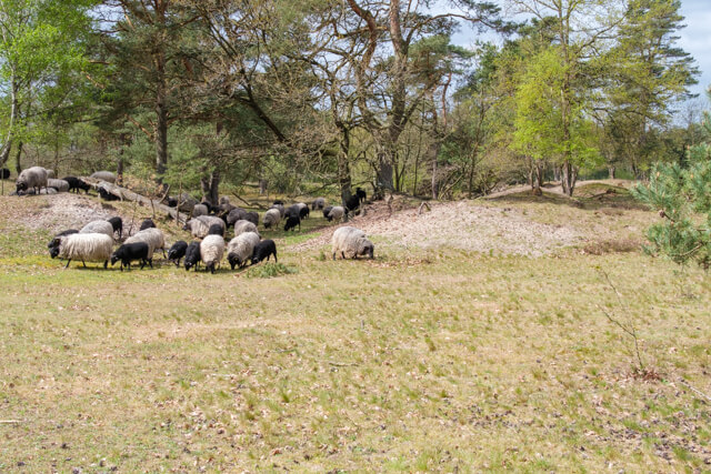
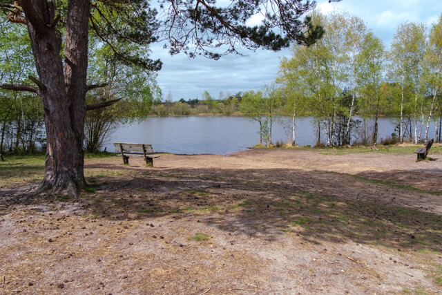
From the parking lot you quickly walk into the raised bog area. What is immediately noticeable are the dead trees and dark, water-filled peat plains. For the heathland residents, peat extraction was of great importance for heating and cooking. That is why the heathland was drained over a large area in the 19th century. Today the original raised bog is being restored to its former glory. There are information panels along the way with more information about the history of the beautiful area. The plank paths keep your feet dry. Once you leave Pietzmoor you enter the vast Osterheide, where you see a completely different landscape. Along the way you walk past the sheepfold and there is a good chance that you will encounter the shepherd with his typical Heidschnucken sheep. A beautiful picnic area has been set up on the picturesque Silvester Lake.

Download PDF for route description.
POI 1 - Pietzmoor.
The formation of the raised bog was promoted by its location in a depression and by impermeable clay layers. Strata research from 1975 showed that the maximum thickness of the peat is 7.5 meters. If one assumes an annual growth rate of the peat moss of about 1 millimeter, then Pietzmoor is 8,000 years old.
No additional information.
POI 2 - Osterheide.
The Osterheide was created from a former military training area. In 1994, its use as a training ground came to an end and a nature association started redeveloping the destroyed site. After much time and effort, a vast heathland landscape emerged with scattered swamps, forests and nutrient-poor grasslands.
No additional information.
POI 3 - Silvestermeer.
The picturesque Silvestermeer, named after a British officer, was created by compaction of the subsoil when heavy military machines rolled through the area. Today it fits harmoniously into the Osterheide and, despite being fed only by rainwater, never dries out.
No additional information.