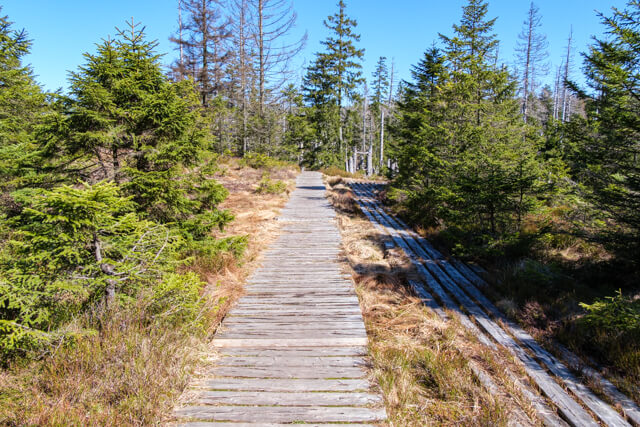
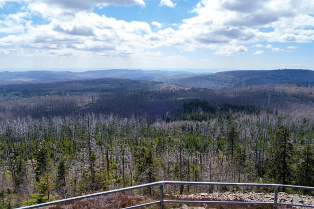
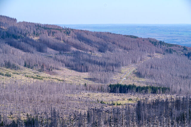
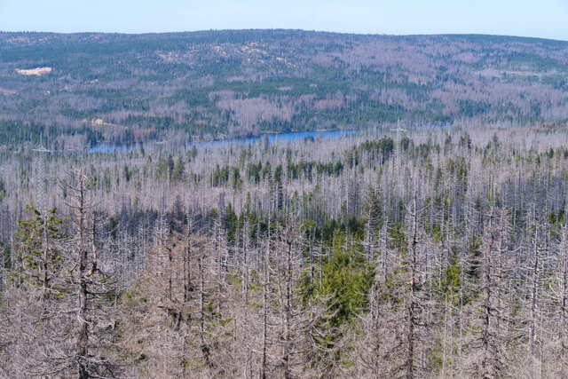
Walk through the Harz National Park to the Bodebruch, a humid swamp area and via the former border road to the top of the Achtermannshöhe where you have a beautiful view.
Distance: 12 km.
Time: 3h30.
Grade: Moderate.
Type: Circular.
Gps Track: Yes.
Route description: Yes.
Wheelchair: Not suitable.
Dog: Allowed.
Height gain: 341 meters.
Trail: 99% unpaved.
Marking: Signs.
Hiking shoes recommended.
Advertisement.
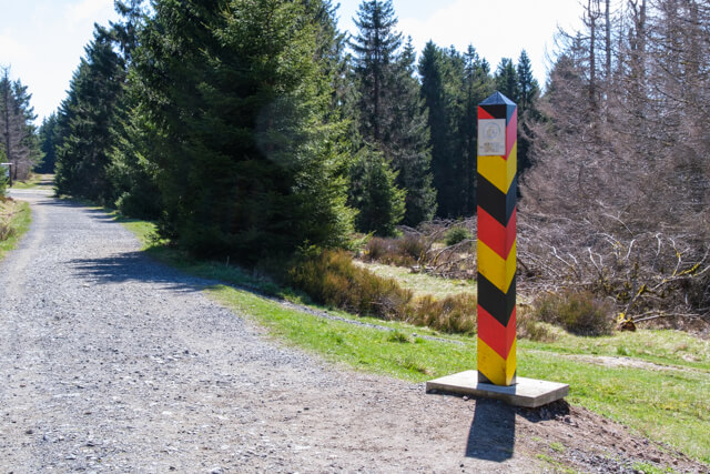
Dreieckiger Pfahl.
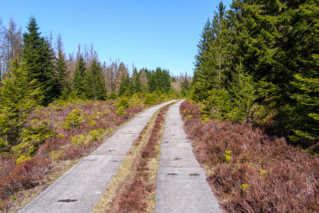
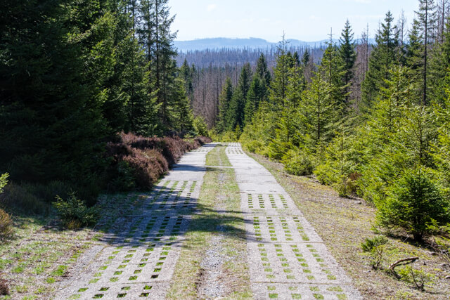
The walk starts in the direction of the viewing hut at the Bodebruch, a moist marshland. Then it continues in the direction of Dreieckiger Pfahl, a place where a historic boundary stone from 1866 stands. From this point the route follows a stretch of the border road, on the former border between East and West Germany. Then you follow the course of the Große Bode and the Kleine Bode in the direction of the viewpoint on the Achtermannshöhe at an altitude of 924 meters.

Download PDF for route description.