Walking route
Puig de les Forques.


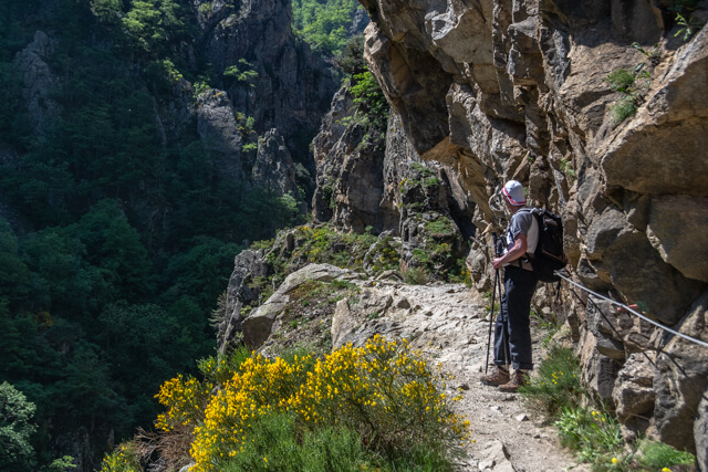
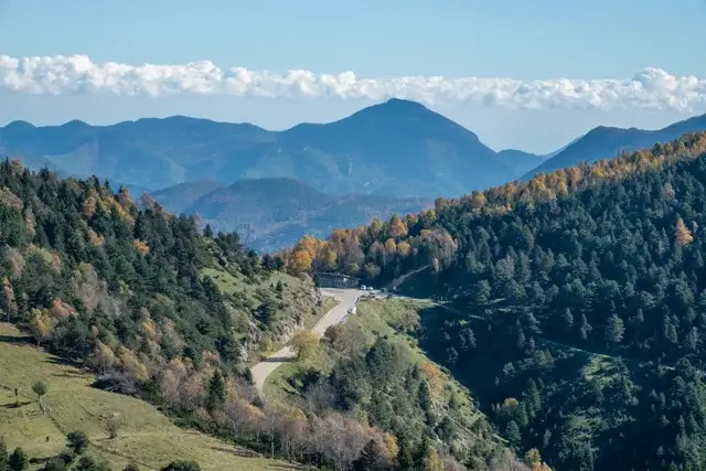
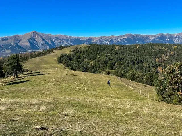
The Col d'Ares is more than just a starting point; it's an emotional crossroads. As you tie your laces at the old customs building, you stand at the spot where thousands once walked to freedom. This 9.5-kilometer hike offers the perfect balance: just enough elevation to feel like you're in the mountains, yet gentle enough to fully appreciate the pristine nature of the Parc Natural de les Capçaleres del Ter i del Freser.
Distance: 9.5 km.
Time: 3h00.
Grade: Moderate.
Type: Circular.
Gps Track: Yes.
Route description: Yes.
Wheelchair: Not suitable.
Dog: Allowed on leach.
Height gain: 220 meters.
Trail: 98% unpaved.
Marking: Partly Yellow-Red GRP.
Hiking shoes recommended.
Turó del Pla d’en Xanau.
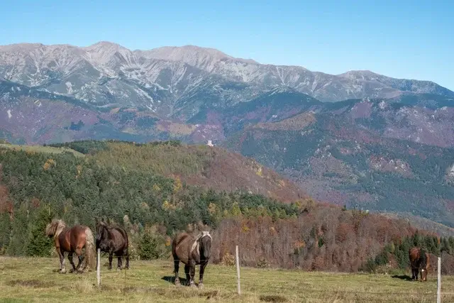
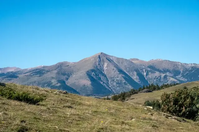
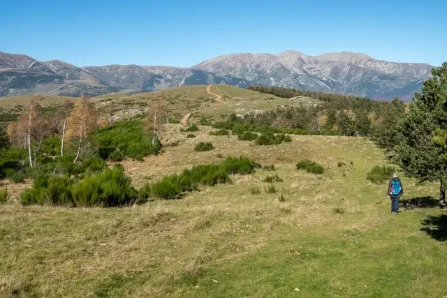
The route begins at Col d’Ares, where we can immediately admire the magnificent sculpture "A la flama del Canigó," which symbolizes the unity of Catalan culture, and the Camí de la Retirada, a monument commemorating the thousands of refugees who crossed the border during the Spanish Civil War. We leave the parking lot behind and take the ascending path directly opposite the old customs building, following the yellow-red markings of the GRP. You'll immediately notice that you're entering a special area: the Parc Natural de les Capçaleres del Ter i del Freser. You'll walk through a cultural landscape where transhumance—the seasonal movement of livestock—has been practiced for centuries. The vast grasslands you'll see along the route are still grazed by cows, sheep, and horses, contributing to the preservation of the open mountain landscape. The name says it all: Capçaleres means "springlands." This park is the source of the region's two most important rivers: the Ter and the Freser. The water that begins here as meltwater or rain eventually flows all the way to the Mediterranean Sea. The first milestone is the Puig de les Forques (1619 m). Don't forget to look back here for a spectacular view of the valley. We continue along the ridge to the Turó del Pla d’en Xanau (1632 m). This is the highest point of our hike. We stay true to the yellow-red markings until we reach the intersection with the Ruta Transhumànica (the old route used by shepherds with their cattle). Here we make a sharp right turn. Note: Ignore the yellow-red cross here; we leave the main GRP route to continue the loop. The unpaved road leads us to the D115. Once on the asphalt, we turn left until we reach the first hairpin bend to the left. Just before this bend, we rejoin the path on the right. Here begins the "final touch": the final climb that takes us back to the Col d’Ares car park.
Download PDF for route description and map.


Walks Pyrénées-Orientales.