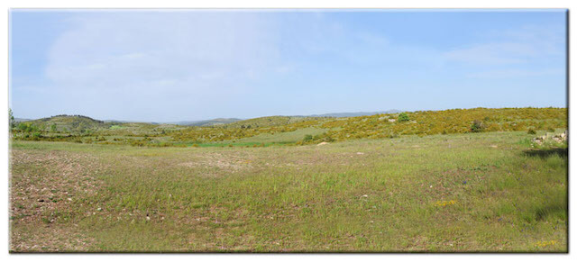
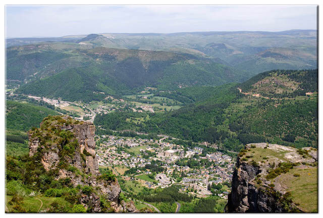
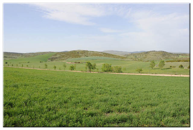
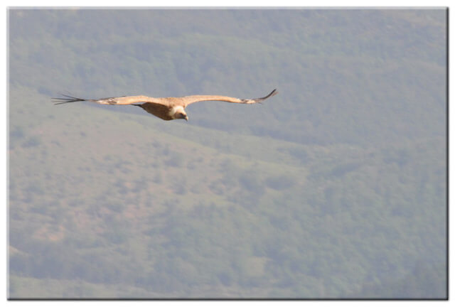
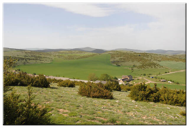
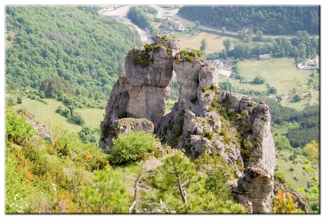
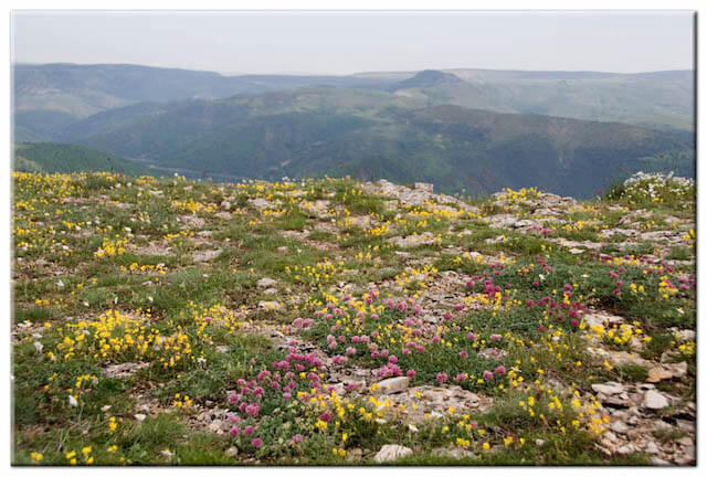
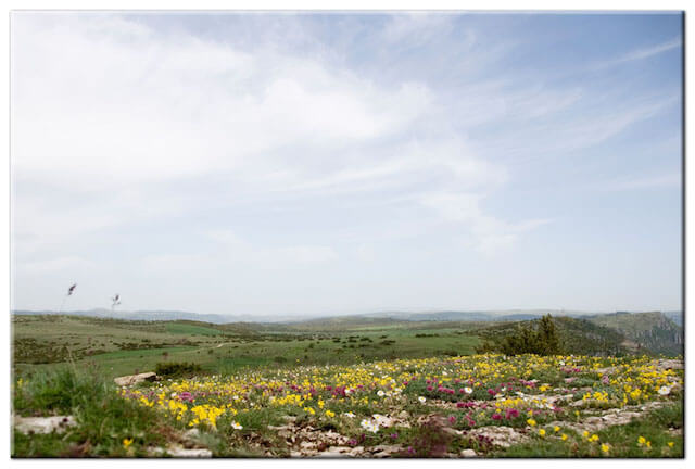
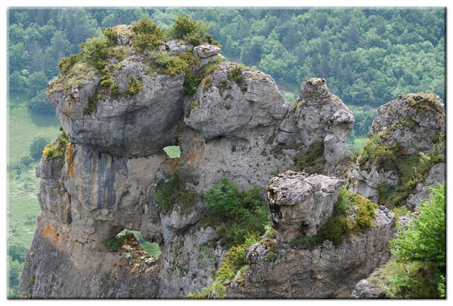
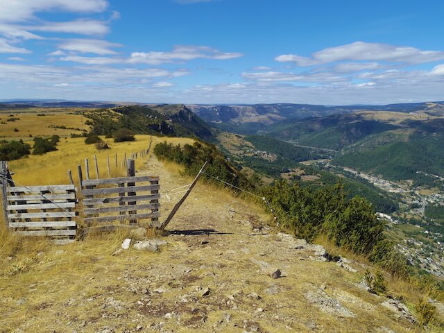
This walk follows the edge of the Causse Méjean with a beautiful view of the Cévennes, Mont Lozère and the erosion-shaped rocks 'Les Couronnes' that rise high above Florac. We are also introduced to the inhospitable landscape of the Causse Méjean. With a little luck you will be accompanied on your journey by griffon vultures that float above the ridges.
Distance: 9 km.
Time: 3h00.
Grade: Easy.
Type: Circular.
Gps Track: Yes.
Route description: Yes.
Wheelchair: Not suitable.
Dog: Allowed.
Height gain: 268 meters.
Trail: 99% unpaved.
Marking: See PDF route description.
Hiking shoes recommended.
Advertisement.
Causse Méjean.
The Walk is indicated by PR "Sentier du Pradal" at the starting point, but this route is a combination of different walks. From the starting point you walk in the direction of the television mast on the edge of the Causse Méjean. At the television mast you follow the edge of the plateau until the exit for Croupillac. Here you leave the edge of the plateau while following a path next to a fence until you reach a menhir. From this point the walk goes along the route of the GRP Tour Du Causse Méjean back to the starting point.

Download PDF for route description.
Sense for orientation needed.
On the route you can encounter herds of sheep that are guarded by a Patou dog.