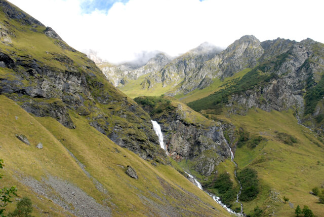
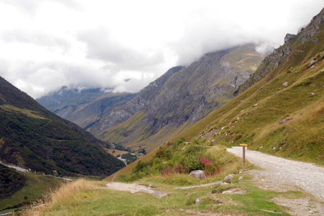
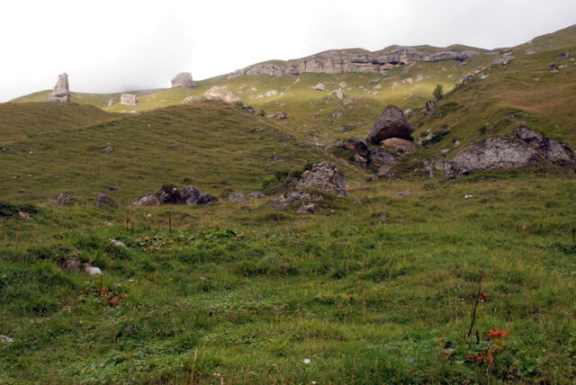
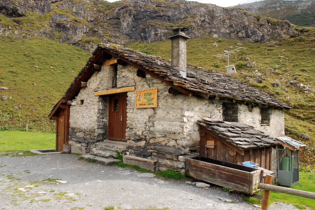
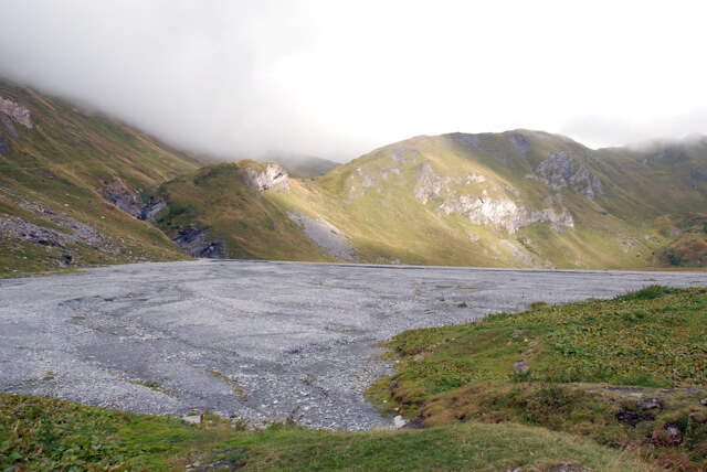
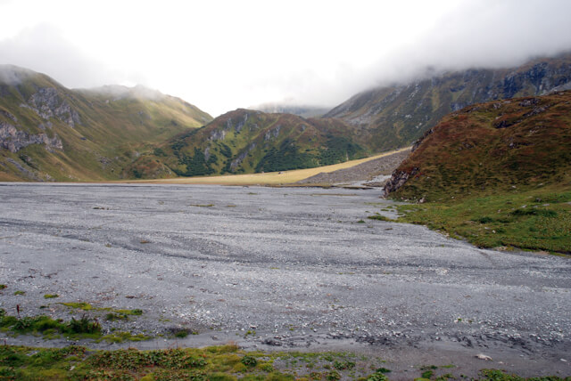
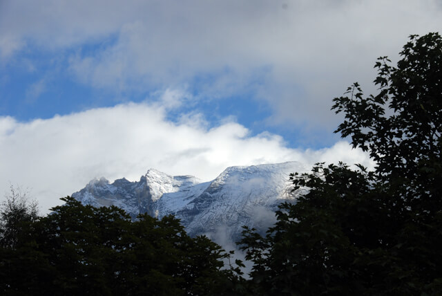
This easy mountain hike goes to the refuge de la Glière and the 'lake' of the same name. This lake has been dry since June 15, 1818 and today is an immense plain of stones and pebbles. You get a nice view at the lake on the north side of the Grand Bec, the Grand Casse and the Epena glacier.
Distance: 10 km.
Time: 3h00.
Grade: Moderate.
Type: Back and forth.
Gps Track: Yes.
Route description: Yes.
Wheelchair: Not suitable.
Dog: Not allowed.
Height gain: 510 meters.
Trail: 100% unpaved.
Marking: Signs.
Hiking shoes recommended.
Advertisement.
Refuge de la Glière.
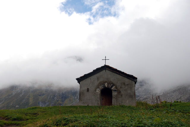
The walk goes to the refuge de la Glière. From the refuge you walk to the Lac de la Glière. This dry lake is nothing but an old subglacial lake of the Epena glacier. Towards the end of the Little Ice Age (1818), the Epena Glacier began to retreat and the flanks no longer held back the water. The ice dam breaks and the lake empties. The water destroys bridges and roads in the Bozel valley. Several victims are regretted, but the legend says that the thermal waters of Brides les Bains have been created since this disaster. Directly south you have a beautiful view of the Epena glacier. From the lake you can walk along the Chapelle de la Glière to return to the starting point.

Download PDF for route description.
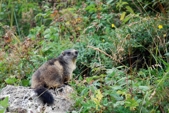
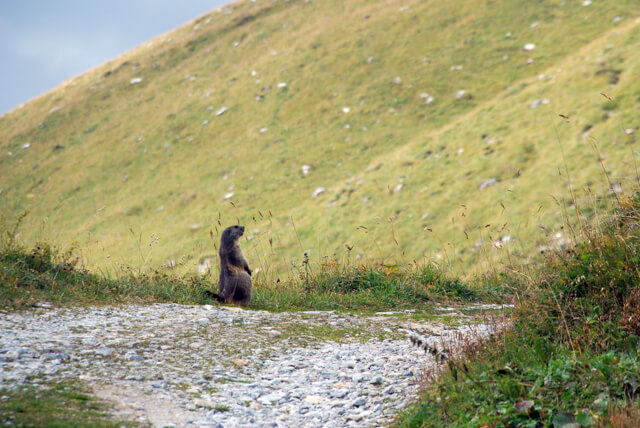
You will certainly see and hear marmots along the way.