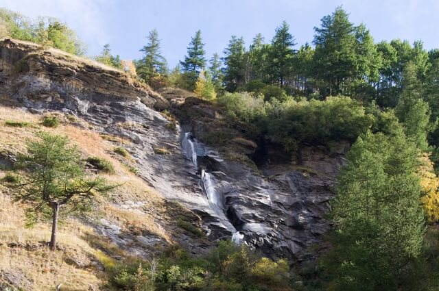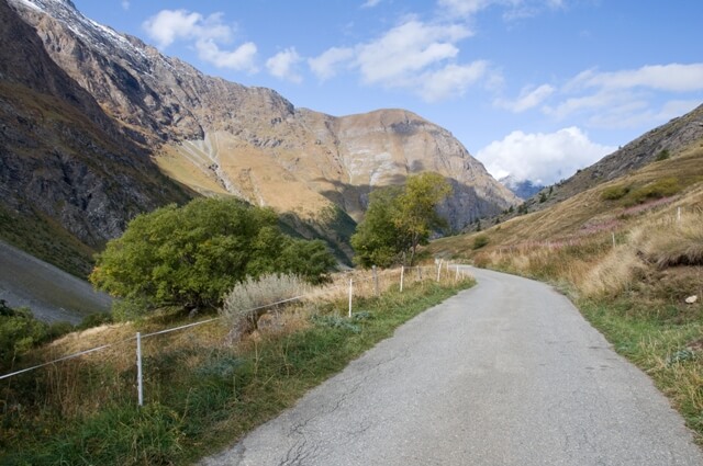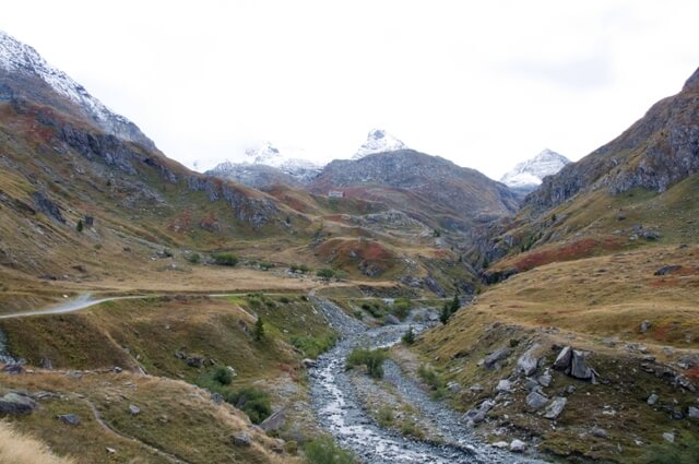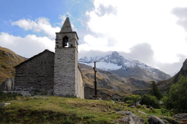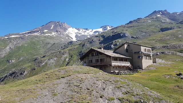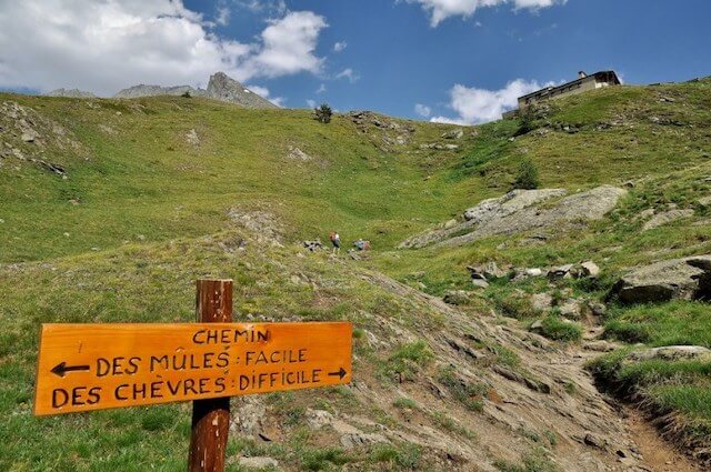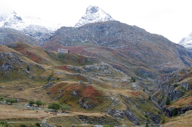
This walk in the valley of Avérole goes through the old hamlets of Vincendières and Avérole to the refuge d'Avérole. The valley lies between the slopes of the Albaron 3638 meters and the Pointe de Charbonnel 3750 meters. At the refuge you have a beautiful view of the Lombarde valley. In the past, the route was frequently used by craftsmen from Lombardy. They went through the valley over the Col de l’Autaret to Italy.
Distance: 9 km.
Time: 2h30.
Grade: Easy.
Type: Circular.
Gps Track: Yes.
Route description: Yes.
Wheelchair: Not suitable.
Dog: Allowed.
Height gain: 450 meters.
Trail: Paved and unpaved.
Marking: Yellow - PR.
Hiking shoes recommended.
Advertisement.
Through the valley of Avérole.
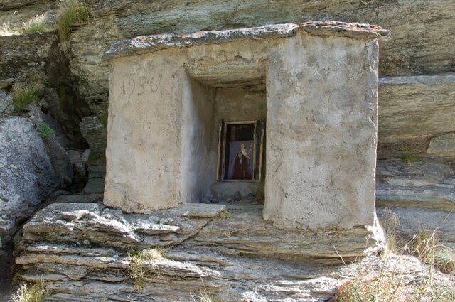
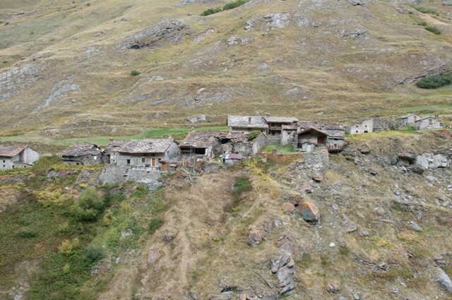
The walk starts from the parking on a traffic-free paved road in the direction of the old hamlet of Vincendières. The route continues along the Oratoire Saint-Antoine Du Bec to the hamlet of Avérole. Once you have passed through the hamlet, you will pass the Oratoire Notre-Dame de la Garde before you start a short steep climb to the refuge d'Avérole. From the refuge you walk along the left bank of the river d'Avérole back to the starting point.
Download PDF for route description.
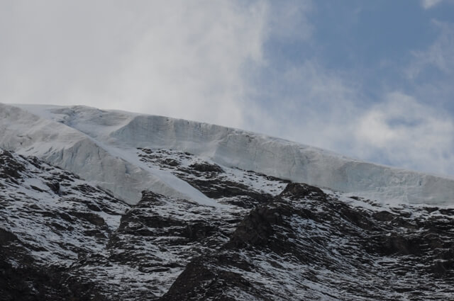
On the left bank of the Avérole, snow fields can still occur late in the season.