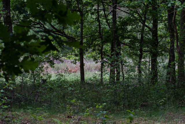
The main theme of this walk in the Grote Netewoud is the Grote Nete. The route goes along the river to the nature reserve Malesbroek. Unfortunately you get to see just a glimp of the large water feature of the Malesbroek but the surrounding nature makes up for it. Then it continues in the direction of the nature reserve De Hutten where pine forest plays the leading role.
Distance: 13 km.
Time: 3h30.
Grade: Moderate.
Type: Circular.
Gps Track: Yes.
Route description: Yes.
Wheelchair: Not suitable.
Dog: Allowed.
Height gain: Flat.
Trail: 92% unpaved.
Marking: Walking nodes.
Hiking shoes recommended.
Advertisement.
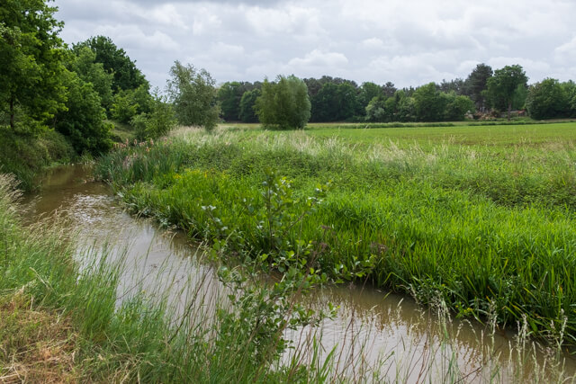
Malesbroek.
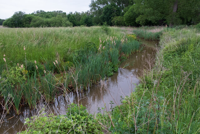
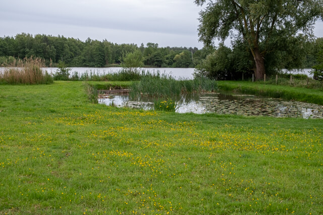
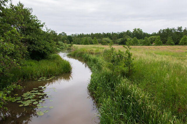
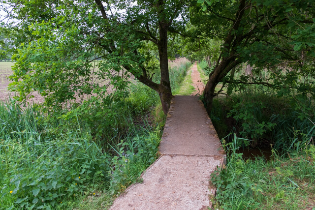
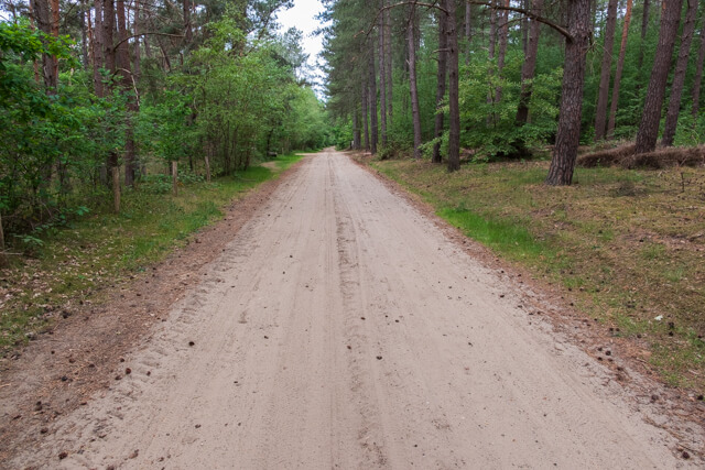
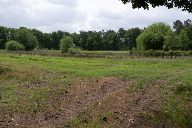
Soon after departure you follow a wide dirt road along the banks of the Grote Nete in the direction of the nature reserve Malesbroek. The Malesbroek nature reserve is a 100-hectare water landscape along the Grote Nete. Biologically it is very valuable, because it contains a wide variety of natural biotopes and is very suitable as a breeding, sleeping, patching and wintering place for birds. Unfortunately, you only get a brief view of the large water feature on the route. Past the Malesbroek you leave the Grote Nete and walk through mixed forest until you come back to the Nete. After a short distance you cross the Meerhoutse Steenweg and you get a nice view of the landscape of Bel. You cross the Zeeploop via a bridge and then follow the Grote Nete again, but now upstream. In the last part of the route you walk through the nature reserve De Hutten. On the wide dirt road you can enjoy predominantly pine forest. Beyond the Kruis Van De Hut, the landscape becomes more open and you get beautiful views of flower-rich hay and meadows. This section has been called 't Steen for centuries. You walk back to the starting point via the Wilderse Dijk.

Download PDF for nodes to follow.
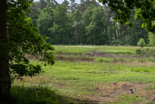
POI 1 - 't Steen.
The road 't Steen led from the Scherpensteen farm to the water mill of Wilders in Geel. For centuries this has been the cadastral name for the designation of the meadows between the Liereman on the Grote Nete and the Steenbergen.
No extra information.