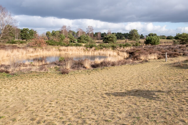
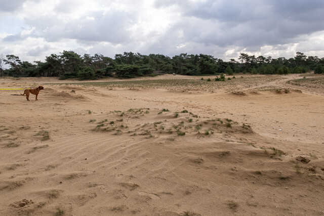
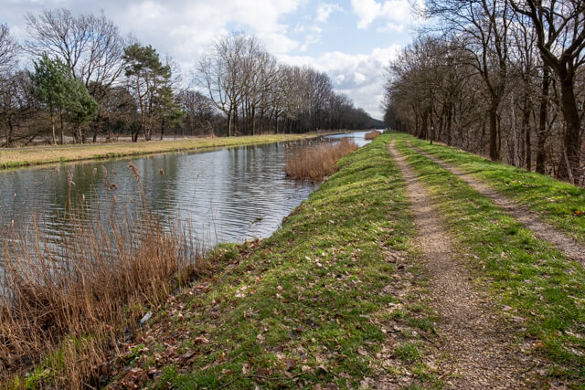
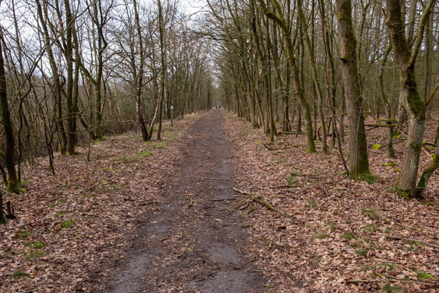
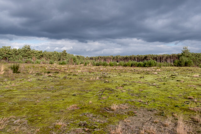
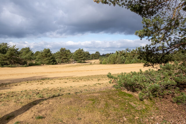
After barely a few steps in the Keiheuvel a wide landscape opens up with sandy plains, fens and dune grasslands, surrounded by pine trees. After a detour along the Canal to Beverlo it goes towards the Most. The low-lying and marshy valley contrasts nicely with the high and dry Keiheuvel. De Most once served as a hunting ground and shelter for the resistance in the Second World War.
Distance: 11.5 km.
Time: 3h00.
Grade: Easy.
Type: Circular.
Gps Track: Yes.
Route description: Yes.
Wheelchair: Not suitable.
Dog: Allowed.
Height gain: Flat.
Trail: Mostly unpaved.
Marking: Walking nodes.
Hiking shoes recommended.
Advertisement.
Keiheuvel and the Most.
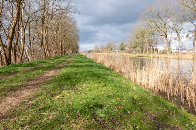
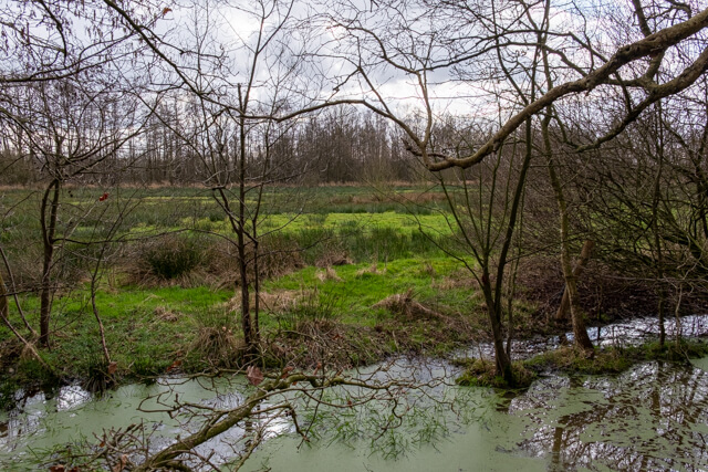
After leaving, you will soon arrive in the Keiheuvel nature reserve. You go by a few fens and dune grasslands to a large sandy area. Once you leave the plain behind you continue through pine forest in the direction of a residential area, which you cross to reach the canal to Beverlo. Follow a beautiful unpaved path along the canal to the Most. Here you walk on unpaved roads and beautiful forest paths along swampy areas. Then you will return to a heathland with land dunes. Through forests it goes back to the Licht Vliegwezenlaan, which you follow over a wide stretch of sand to the starting point.

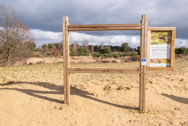
Download PDF for nodes to follow.
Waterproof shoes recommended.
POI 1 - Most - Keiheuvel.
The Most-Keiheuvel is an area of 540 hectares, located along the upper reaches of the Grote Nete in the municipality of Balen. Special about this area is the combination of two completely different natural areas that seamlessly connect with each other. The Most is an extremely wet valley area, while the higher Keiheuvel is characterized by dry open land dunes. You can find the dunes everywhere in Keiheuvel, but the best part is on the route of this walk.
No extra information.