The fifth stage goes from Swartbroek through the nature reserves Krang, Heijkersbroek and Ellburg to Ell.
Distance: 13 km.
Time: 3h00.
Grade: Moderate.
Type: Point to point.
Gps Track: Yes.
Route description: Yes.
Wheelchair: Not suitable.
Dog: Allowed.
Height gain: No info.
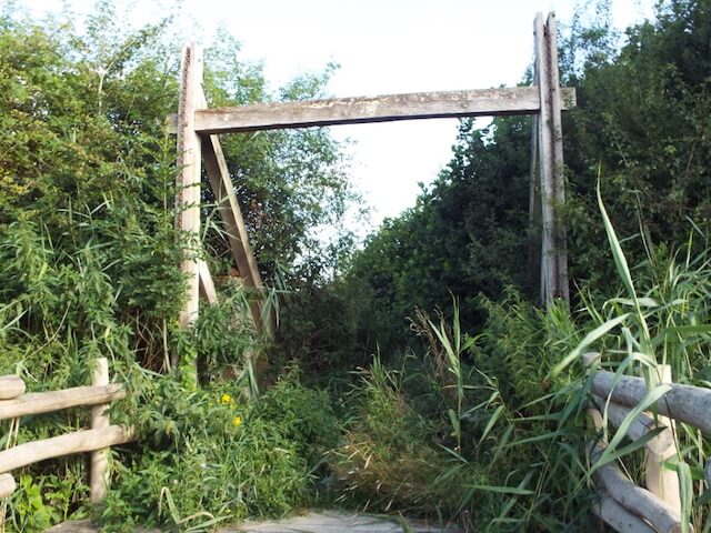
Trail: 87% unpaved.
Marking: See PDF route description.
Hiking shoes recommended.
Advertisement.
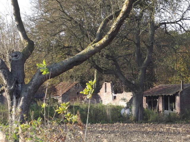
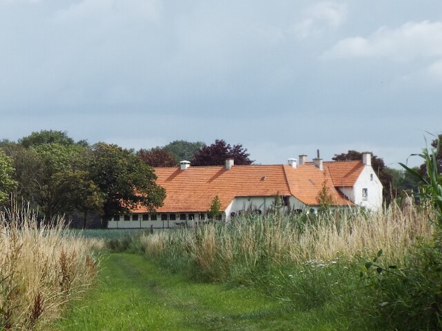
The Ellerschans.
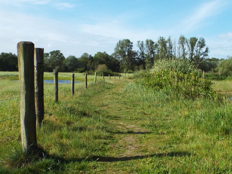
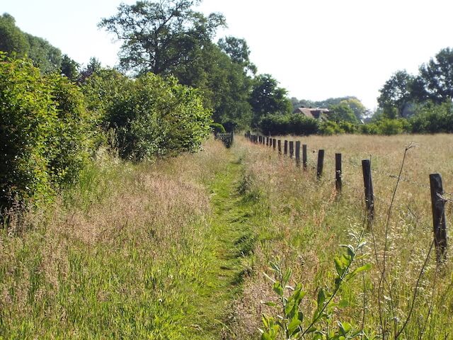
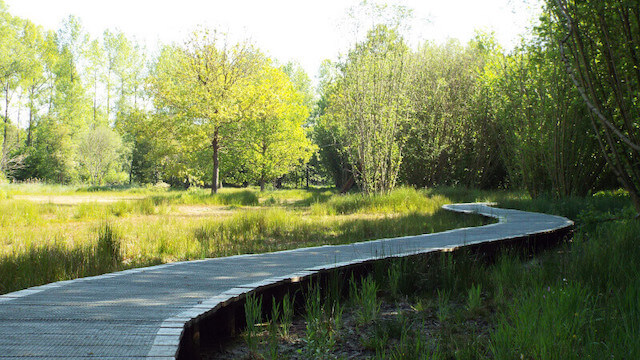
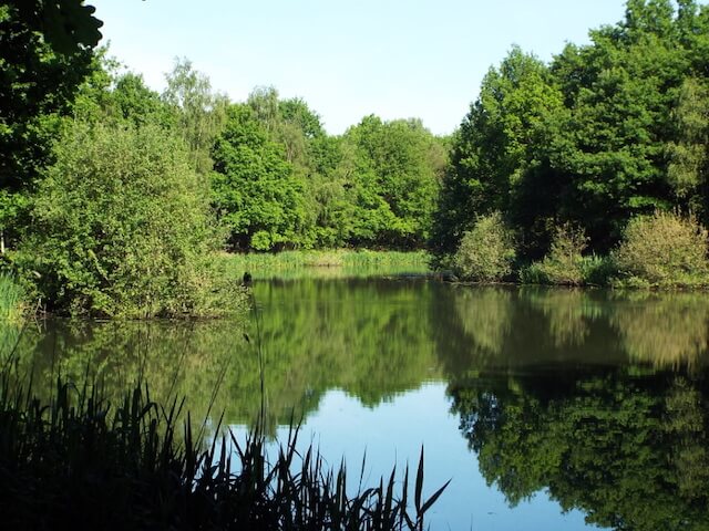
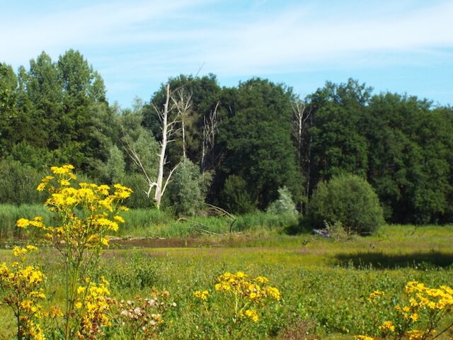
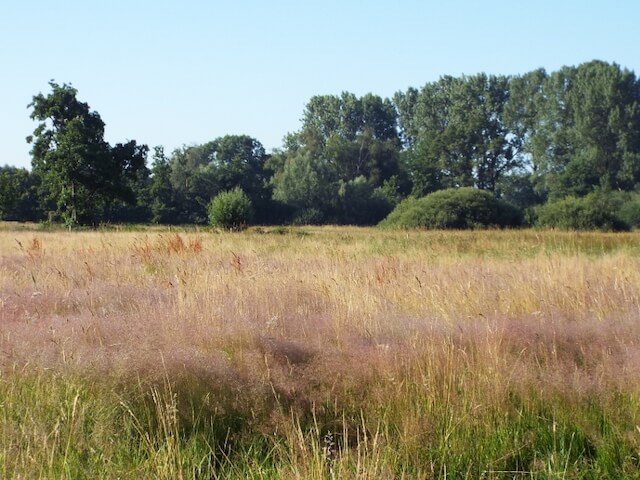
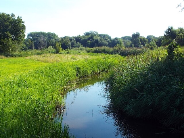
The Tungelroyse Beek flows through the three nature reserves. The Krang is a nature reserve that consists of deciduous and coniferous forest, coppice, grassland and old convex fields with the Tungelroyse Beek in the south. Het Heijkersbroek is an area that mainly consists of deciduous forest, plots of grassland and various pools, the Tungelroyse Beek also flows through the nature reserve where the Vliet watercourse flows into the brook. The Ellburg is a small nature reserve along the banks of the Tungelroyse Beek with the special feature of the Ellerschans, an ancient escape ramp that was discovered during the redevelopment of the Tungelroyse Beek and is visible again. In many places people have used the water to protect themselves, most of the sconces have been built in stream valleys for this reason, as is this sconce. The redoubt consists of a piece of land surrounded by a moat and a meter high earth wall on the inside. Within the walls they had access to a well and an oven. This sconce was used during the 80 years war as a flight sconce.

Download PDf for route description.