The stage goes from Sint Anthonis to Wilbertoord, a peat mining village.
Distance: 18 km.
Time: 4h30.
Grade: Moderate.
Type: Point to point.
Gps Track: Yes.
Route description: Yes.
Wheelchair: Not suitable.
Dog: Allowed.
Height gain: Flat.
Trail: 77% unpaved.
Marking: See PDF route description.
Hiking shoes recommended.
Advertisement.
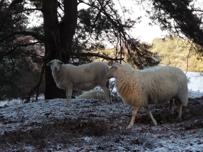
Kempen heath sheep.
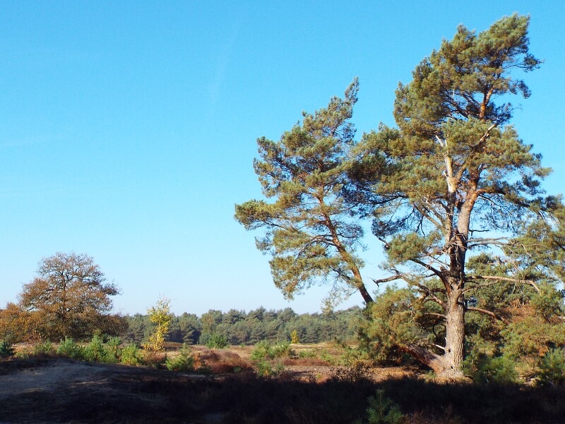
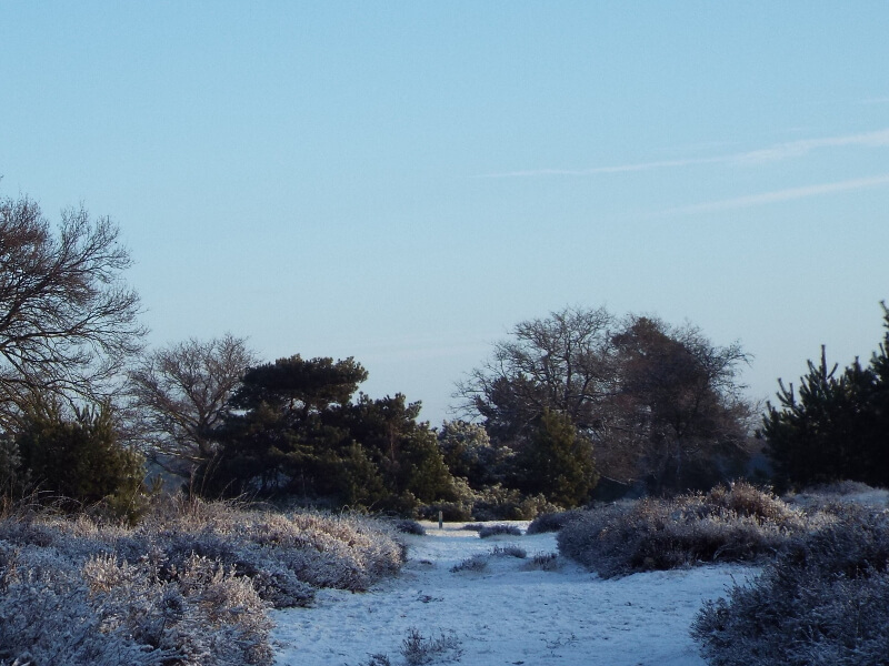
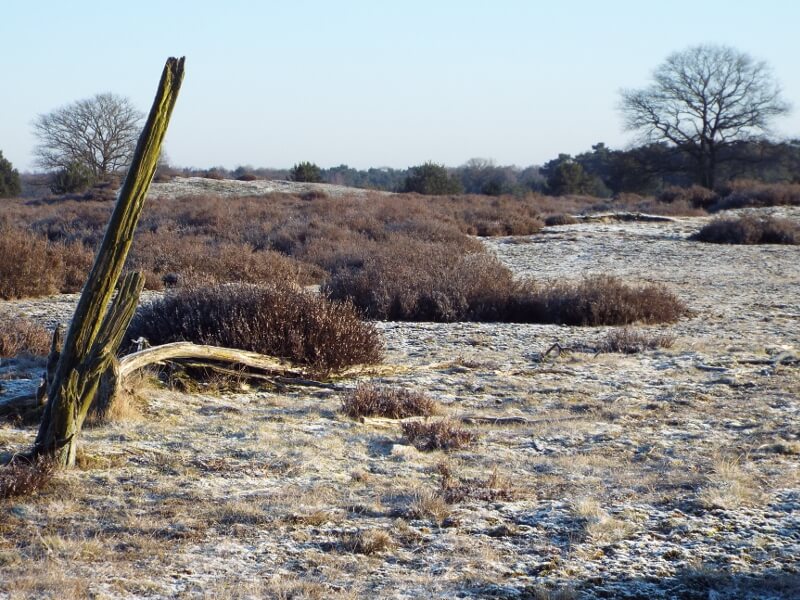
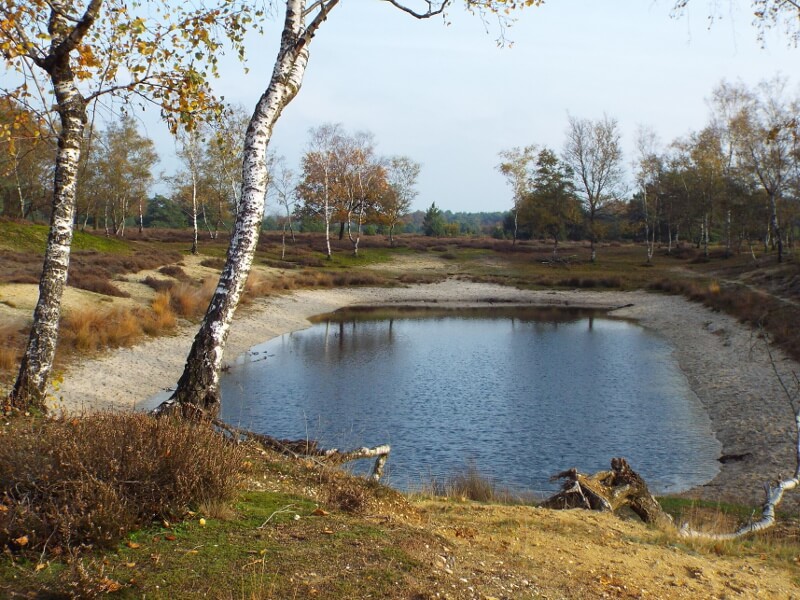
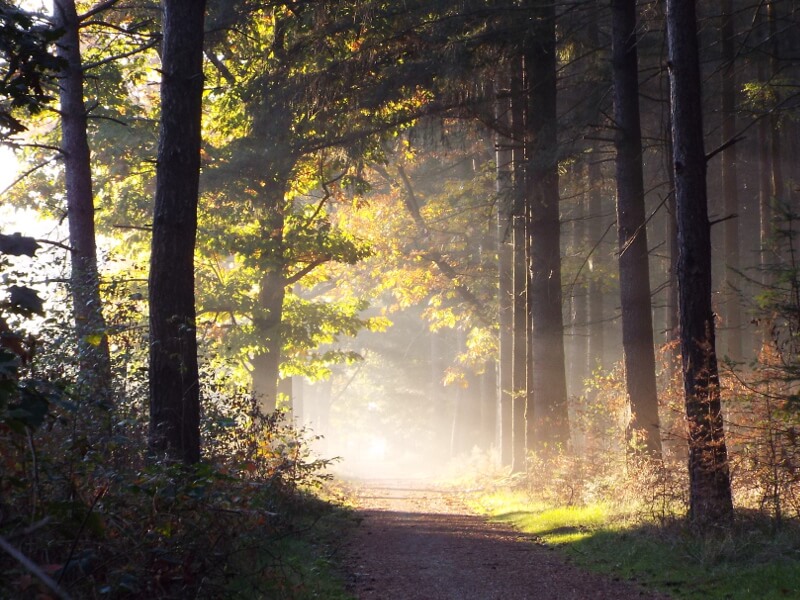
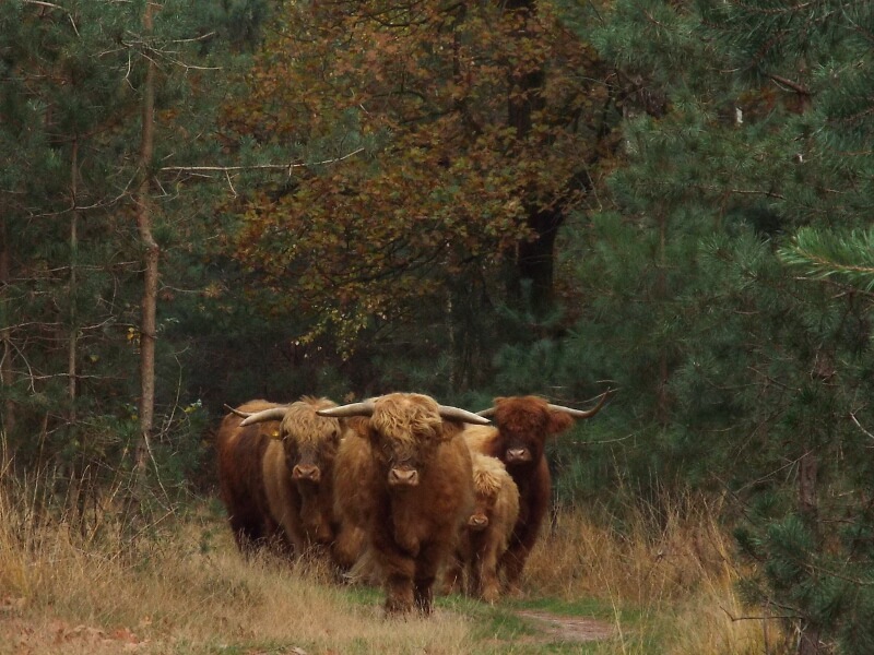
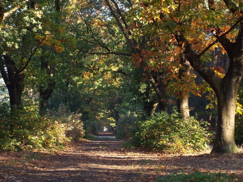
The village of Sint Anthonis is located on a sandy ridge on the edge of the former Peel area. The moors of the Peel in the west were only fully reclaimed and cultivated in the 20th century and made way for meadows, maize fields and the Sint Anthonis forest. From the center of Sint Anthonis, the stage heads towards the Sint Anthonis forest, nowadays a varied area of forest and heathland with juniper bushes and fly pines. Kempen heath sheep and Scottish highlanders graze on the heath. In the heather area of the Ullingse hills there are still a few pieces of sand drifts. At the edge of the area one goes over a six to eight meter high rim wall, in the past this wall was built by the farmers to prevent the fields from drifting over. Forests of wood, plantations of oak trees and digging have eventually resulted in this six to eight meters high wall. After leaving the vast Sint Anthonis forest, the stage goes through the former Wanroijse Peel. This area has been given an agricultural destination after the municipal forest of Wanroij and a few small pieces of forest. The stage winds through the municipal forest Wanroij and the small pieces of forest towards Wilbertoord.

Download PDF for route description.