This stage from Leunen to Merselo goes through the Loobeek valley, the municipal forests Kempkensberg and the Testrik. Both towns and a few other towns arose around the old center of Venray.
Distance: 15 km.
Time: 3h30.
Grade: Moderate.
Type: Point to point.
Gps Track: Yes.
Route description: Yes.
Wheelchair: Not suitable.
Dog: Allowed.
Height gain: Flat.
Trail: 79% unpaved.
Marking: See PDF route description.
Hiking shoes recommended.
Advertisement.
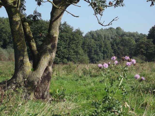
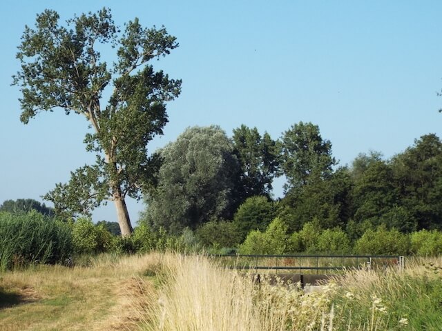
Loobeekdal nature reserve.
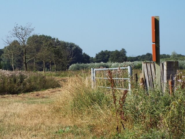
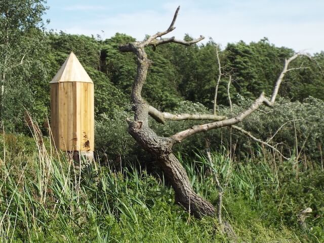
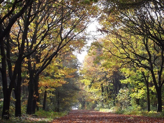
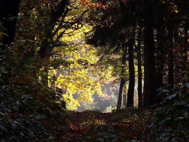
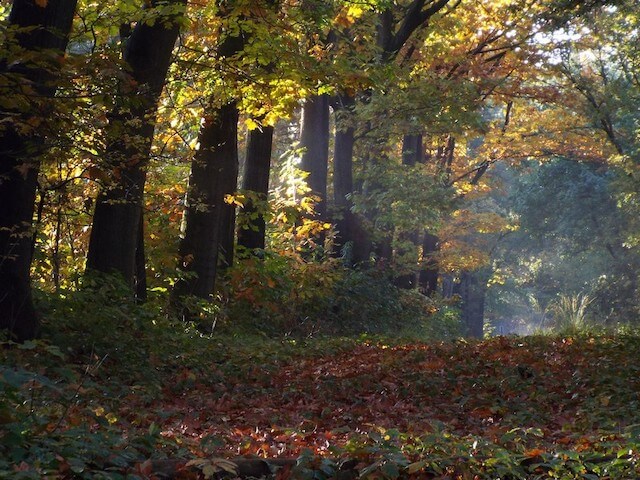
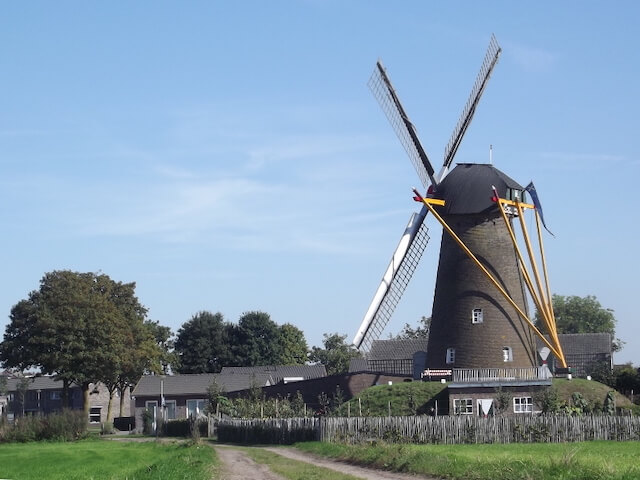
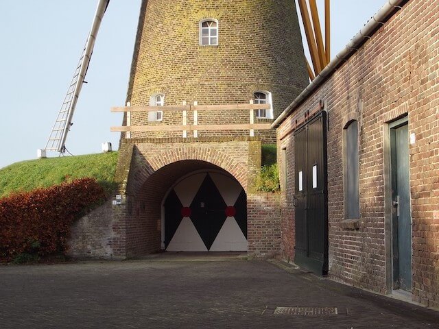
The stage goes through an agricultural area, a wooded area on the outskirts of Venray, through the nature reserve Loobeekdal and the municipal forests Kempkensberg and Testrik. It is only a short distance from Leunen to Venray. At the edge of Venray, the stage goes through two small forests, the Hendrikkebos and Smalwater, both of which together form a beautiful ribbon of forest in the middle of the buildings. After leaving Venray behind, the stage goes through the Loobeekdal nature reserve. After redevelopment, the Loobeek has become a meandering stream through a scenic stream valley. Before the stage ends in Merselo, you will pass through the municipal forests Kempkensberg and the Testrik. Both forest areas were created around 1900 by shovel and wheelbarrow to make the wasteland of the Peel useful. Forest fields were created for the production of wood. Arable farming was not possible because the soil was too poor. Currently, the forest areas are being transformed into more varied forest areas, making them attractive also for hikers. As a point of interest, one comes in the Loobeek valley along the Weverslose Schans and at the end of the stage along the Nooit Gedacht corn mill. The Weverslose Schans is a farmer's sconce, which was reconstructed in 2018, with a horseshoe-shaped moat and a three-meter high defensive wall. In the Middle Ages, such a farmer's sconce was intended as a refuge for the peasant population against itinerant looting gangs and soldiers.

Download PDF for route description.