


Distance: 12 km
Time: 3h00
Grade: Moderate
Type: Circular
GPS Track: Yes
Height gain: 182 meters
Trail: 100% unpaved
Wheelchair: Not suitable
Dog: Allowed on a leash
Marking: Walking nodes | Yellow-Green
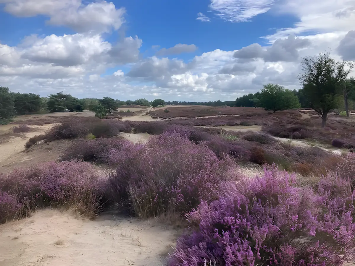
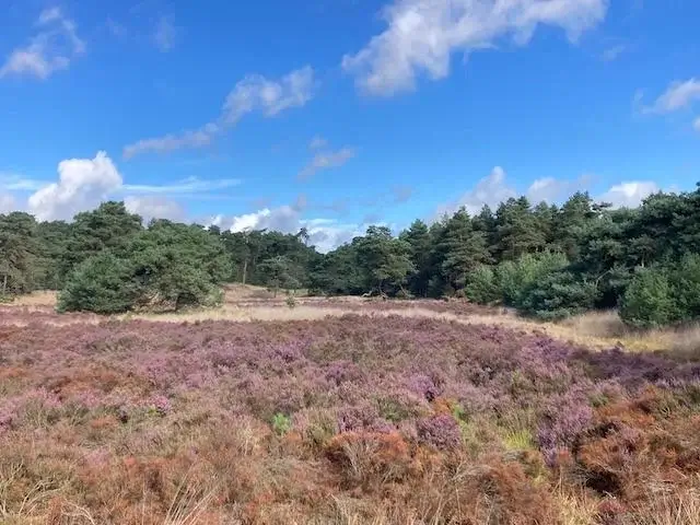
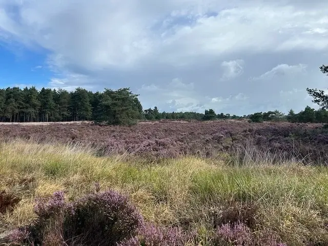
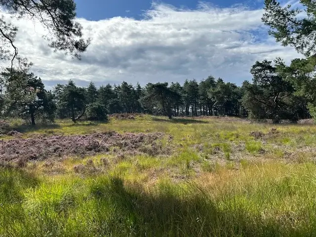
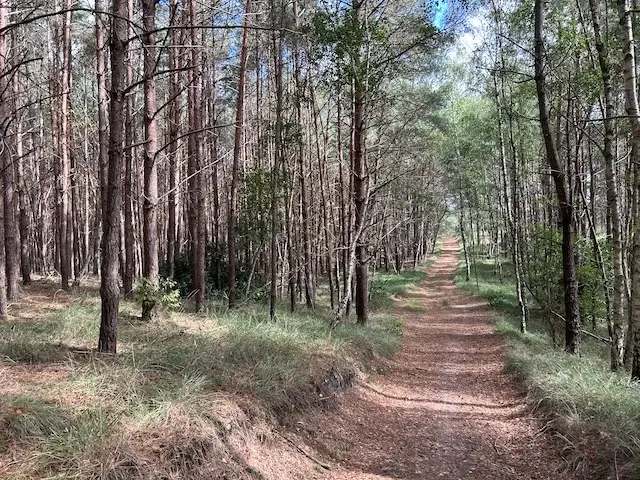
Leave the hustle and bustle behind and step into a world of serene tranquility and surprising landscapes. This unique walk takes you through the Ossendrecht Dunes, which, together with the adjacent Kalmthoutse Heide, form the cross-border National Park Grenspark Kalmthoutse Heide. Thanks to its official status as a recognized quiet area, you will experience a rare calm here. From vast sandy plains reminiscent of the African savanna to shady forests and beautiful panoramas of the Paalberg and the Kraaienberg.
- Download PDF for walking nodes to follow and map of the walk.
- Some parts go through loose sand.
- The marking is unclear in some places. In places where it was missing or very difficult to see, a waypoint was marked on the map.
Ossendrechtse Heide.
Route description
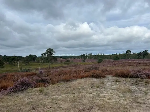
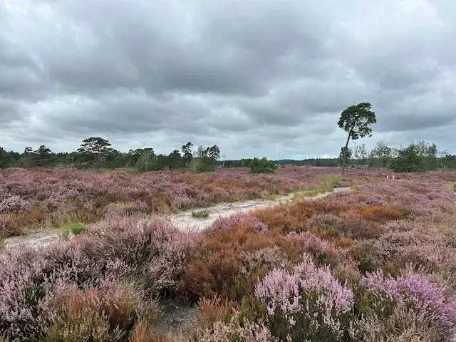
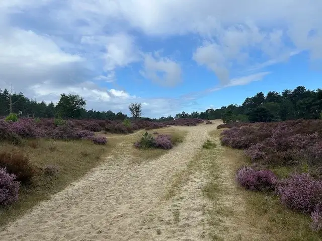
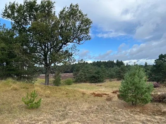
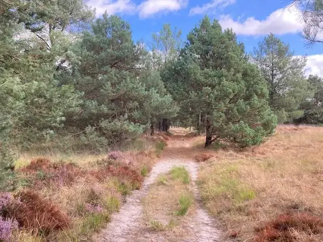
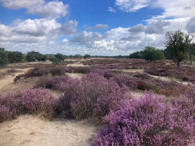
This varied route follows the network of walking nodes and guarantees plenty of variety. Along the way, you traverse three characteristic biotopes: atmospheric forest, extensive heathland, and open sand flats with impressive sea pines.
- Historic boundary stone 251-E: Walk past this special historic boundary stone atop the Paalberg and pause to reflect on the area's border heritage.
- The Kraaienberg: Take a break on the beautiful bench and enjoy a magnificent panoramic view of the surroundings.
- Unique landscapes: Imagine yourself in the African savanna through the combination of drifting sand, dunes, and sea pines.
Map & Poi's.
Accessibility & Catering.
4645 RT Putte 1e Verdelingsweg 6.
De Heusche Bollaert
The starting point is difficult to reach by public transport.
De Heusche Bollaert.
4645 RT Putte 1e Verdelingsweg 6.
Website: www.pannenkoeken-restaurant.nl
None.
Downloads.
Discover more walking routes in North Brabant.
Through the Oude Hondsberg
Along Halder
Walking tour through Zegenwerp estate, Venrode estate, Sparrenrijk forest area, Eikenhorst estate and the Halsche Beemden.