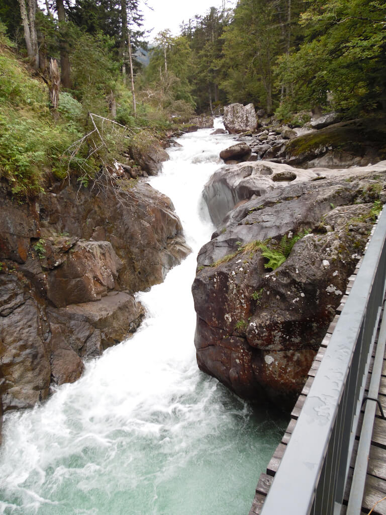
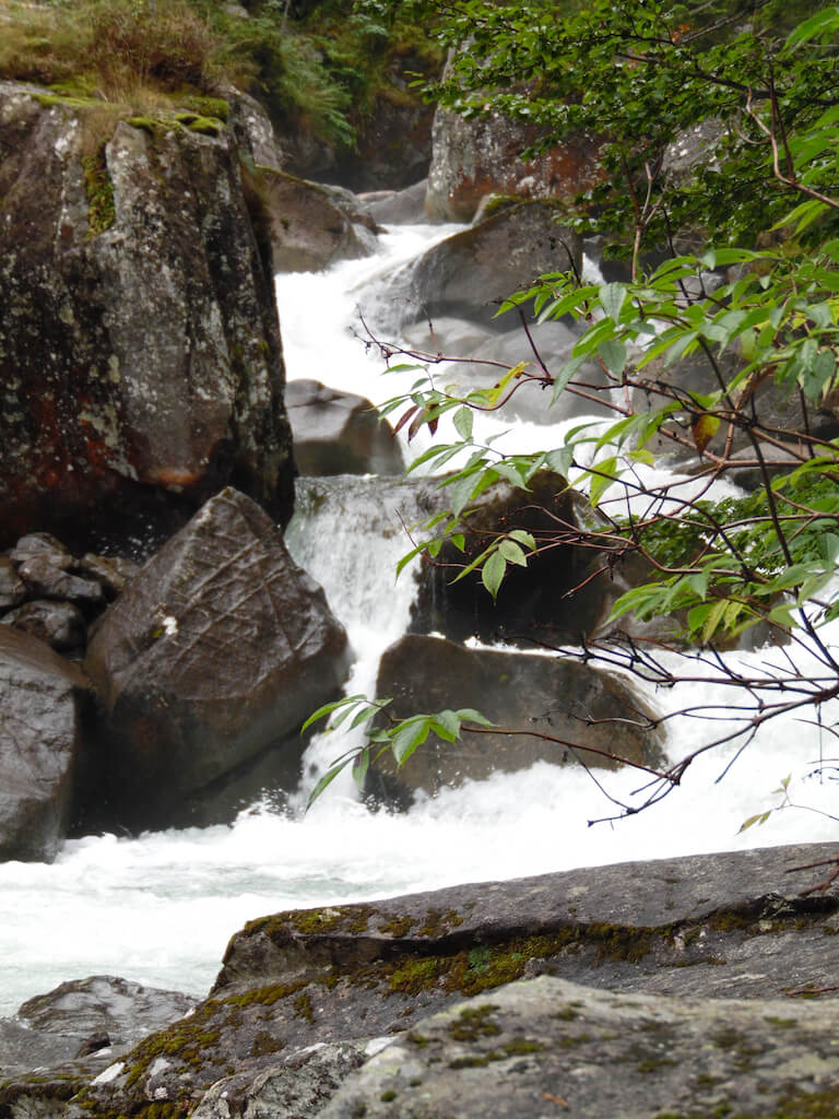
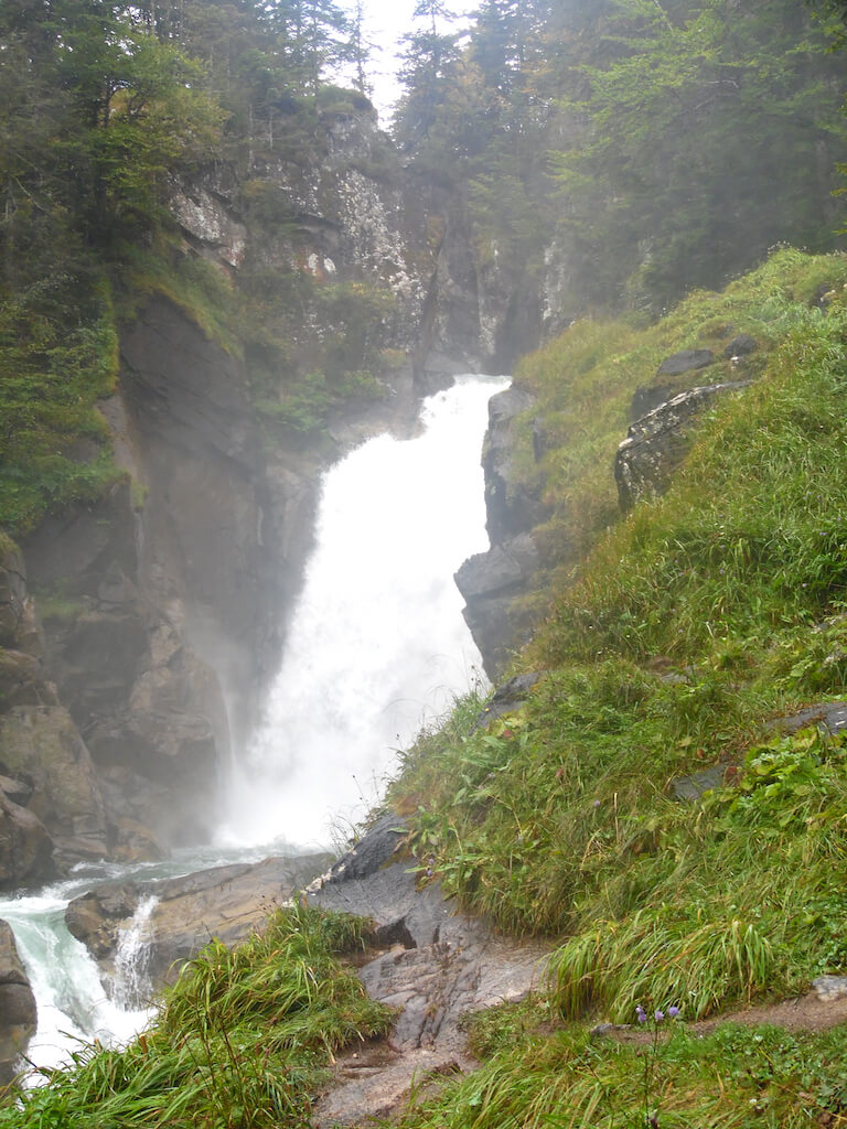
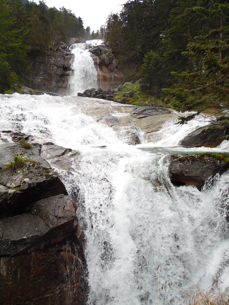
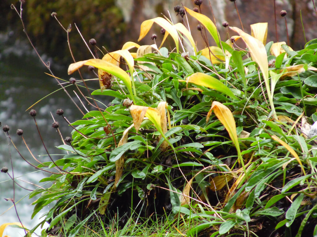
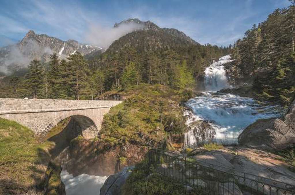
This walk in the Pyrenees National Park has as its theme the sparkling waterfalls of the Jéret valley. The route goes from La Raillère to the famous Pont d'Espagne in the shadow of the forest of Péguère along the banks of the river Gave de Marcadou. There is no shortage of waterfalls and rapids.
Distance: 10 km.
Time: 4h00.
Grade: Heavy.
Type: Back and forth or back with the navette.
Gps Track: Yes.
Route description: Yes.
Wheelchair: Not suitable.
Dog: Not allowed.
Height gain: 957 meters.
Trail: 100% unpaved.
Marking: Red-white GR10 and signposts.
Hiking shoes recommended.
Advertisement.
Pont d'Espagne.
The route goes along a well-signposted path along the GR10 route from La Raillère to the famous Pont d'Espagne. Along the way you will encounter six beautiful waterfalls: Cascade de Manhourat, casade d'Escane-Gat, cascade du Ceriset, cascade de Pouey Bacou, cascade de Pas de l'Ours and cascade de Boussès.

Download PDF for route description.
Take some protection for your camera along because of the spray water.
POI 1 - Pas de l'Ours.
According to legend, a lumberjack, Jean Bernet-Barrère, was chased by such a big bear that his paw left an imprint in the granite rock.
Office de Tourisme Cauterets.
www.cauterets.com