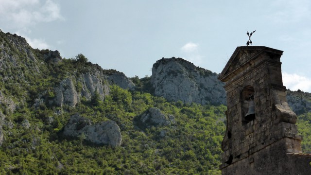
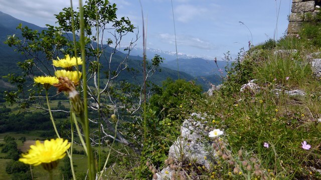
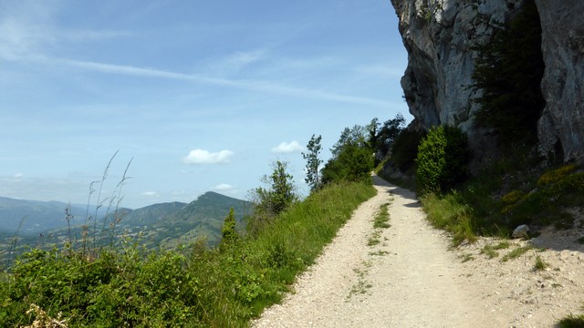
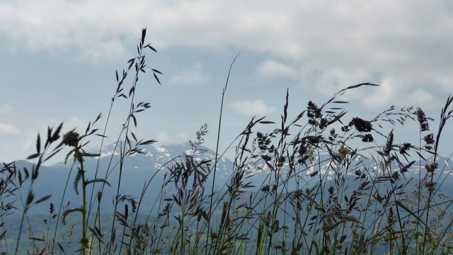
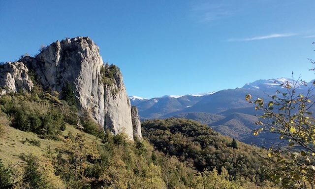
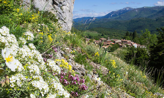
This short but beautiful walk to the castle ruins of Roquefixade starts in the village where you still imagine yourself in the Middle Ages. Even without the short but steep climb to the ruins, the walk is recommended. Beautiful views of the snowy peaks of the Pyrenees on one side and on the other side of the mountain you walk through forests, sometimes narrow, hiking trails with beautiful views.
Distance: 6 km.
Time: 2h00.
Grade: Easy.
Type: Circular.
Gps Track: Yes.
Route description: No.
Wheelchair: Not suitable.
Dog: Allowed.
Height gain: 266 meters.
Trail: 99% unpaved.
Marking: Yellow-Red GRP and Yellow PR.
Hiking shoes recommended.
Advertisement.
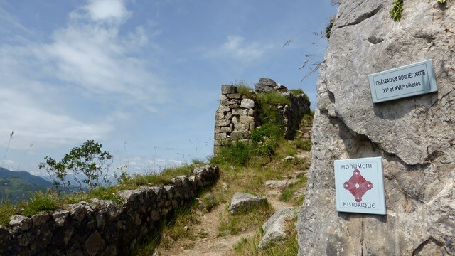
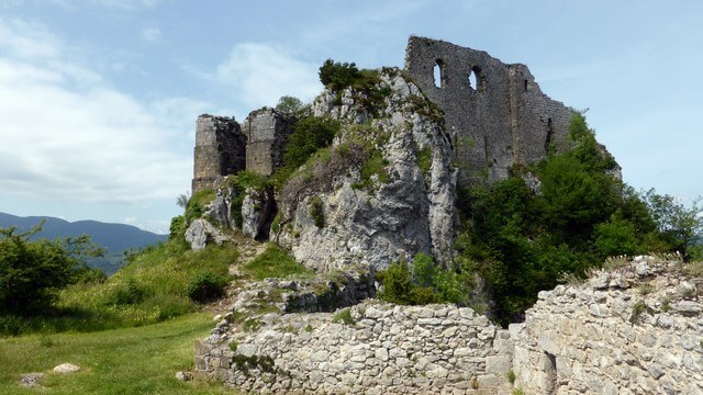
Castle ruins of Roquefixade.
You walk from the starting point on the Cathar road to Cap del Rouque, on the way you can visit the castle ruins back and forth. Then you walk along La Calm to the Chemin “del Mayne del Grell” to return to the starting point.

Download PDF for map.
POI 1 - Castle of Roquefixade.
Implanted at the top of a deep precipice opposite the castle of Montségur, the castle of Roquefixade became a refuge and the hearth of the resistance of the Cathars in the 13th century. It was destroyed on the orders of Louis XIII in the 17th century.
No additional information.