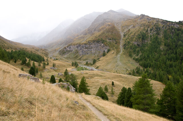
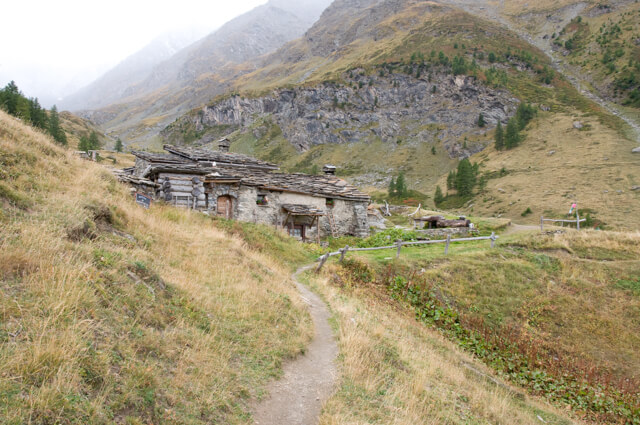
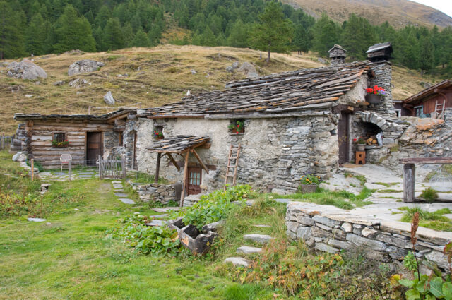
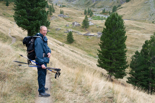
A family mountain walk that takes you through the Forêt de Montbas to the Bramanette valley. The authentic Bramanette refuge is located in the valley. At the refuge you have a beautiful view of the Dent Parachée (3697 meters) and the Vanoise. The refuge is on the route to the col de Bramanette that connects the Haute-Maurienne with Italy.
Distance: 6 km.
Time: 3h30.
Grade: Moderate.
Type: Circular.
Gps Track: Yes.
Route description: Yes.
Wheelchair: Not suitable.
Dog: Not allowed.
Height gain: 614 meters.
Trail: 100% unpaved.
Marking: Signs.
Hiking shoes recommended.
Advertisement.
Bramanette Valley.
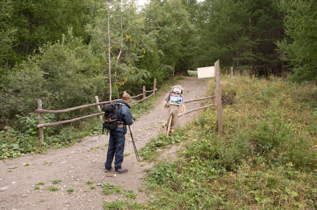
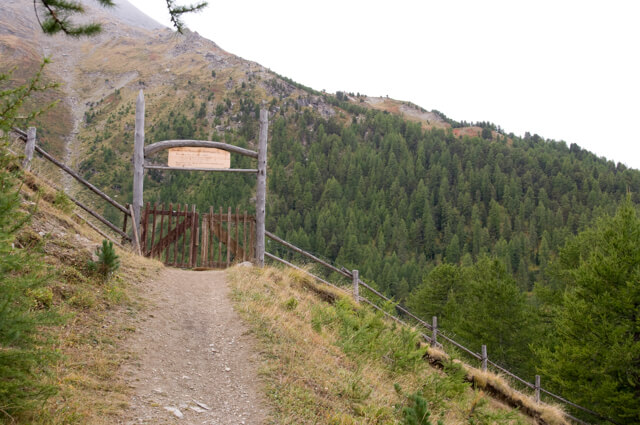
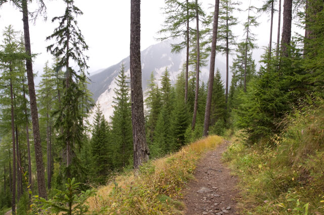
The walk starts with a steep climb through the forest. Once you have passed Pré Maudru, you walk along a panorama path with a view of the Dent Parachée and the Vanoise in the direction of the authentic refuge de Bramanette. Just in front of the refuge there is a creative entrance gate where with a wink is asked to sweep your feet. From the refuge you descend through a forest back to the starting point.

Download PDF for route description.
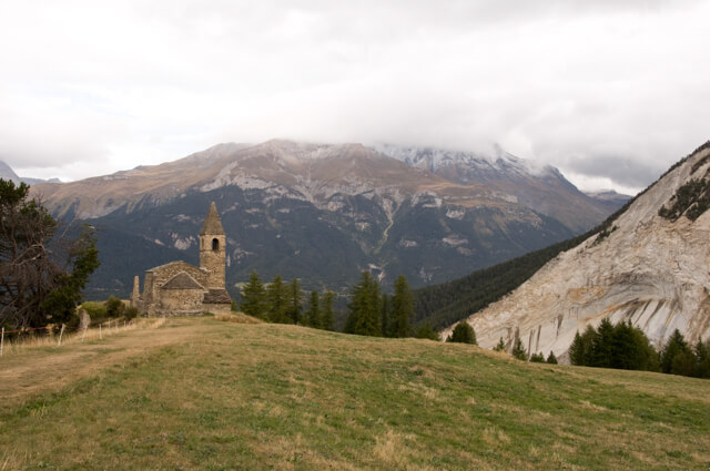
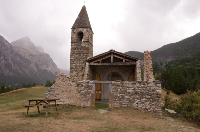
POI 1 - Eglise de Saint Pierre d’Extravache.
The church of Saint-Pierre Extravache dates from the 10th century and is considered the oldest church in the Savoie.
No additional information.