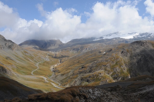
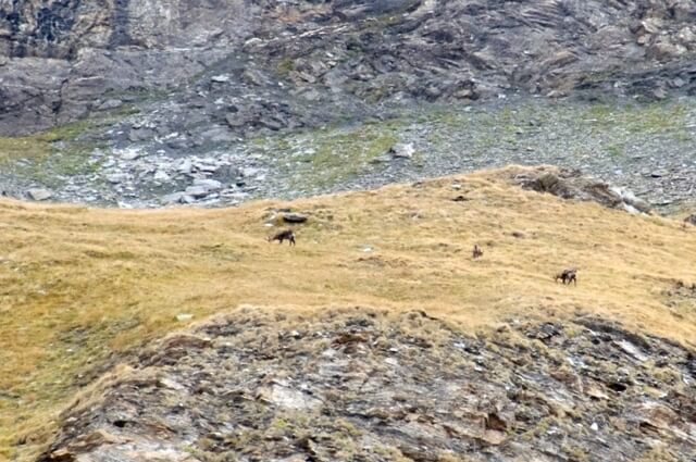
This short walk takes you over the moraines of the old glacier of La Jave to an 'easy' three-thousander, Pointe des Fours (3072 m). On the Pointe des Fours the panorama is breathtaking with a view of La Grande Motte, La Grande Casse with its 3855 meters the highest peak of the Vanoise, La pointe de Méan Martin and L'Albaron. Along the way you can often see chamois on the mountain flanks.
Distance: 6 km.
Time: 3h00.
Grade: Moderate.
Type: Back and forth.
Gps Track: Yes.
Route description: Yes.
Wheelchair: Not suitable.
Dog: Not allowed.
Height gain: 515 meters.
Trail: 100% unpaved.
Marking: See PDF route description.
Hiking shoes recommended.
Advertisement.
Pointe des Fours.
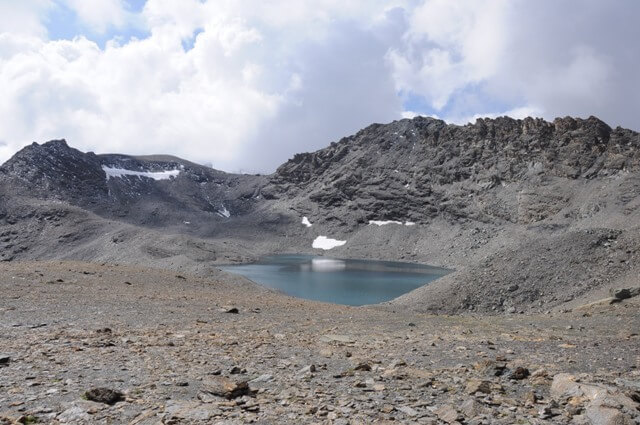
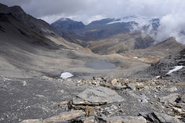
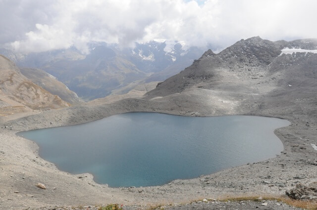
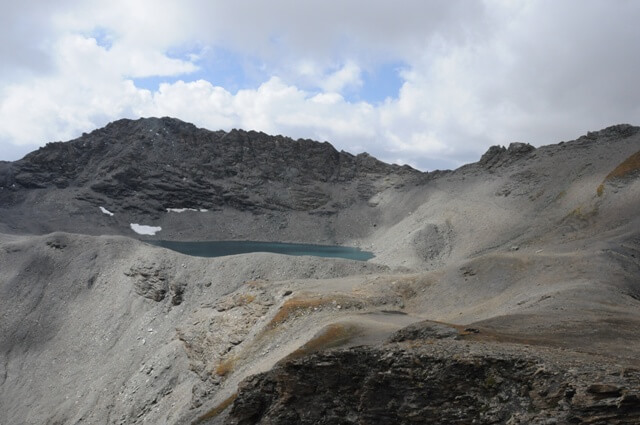
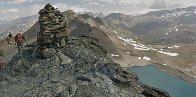
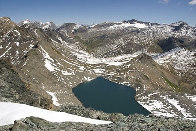
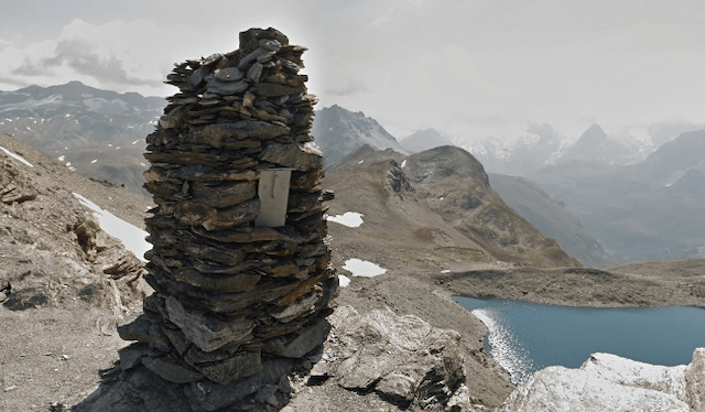
The hike is suitable for getting acquainted with the high mountains. The Lac des Fours is a glacier lake at an altitude of 2899 m that lies just below the Col des Fours. The lake was created by the withdrawal of the Fond Glacier. The moraine of the glacier acted as a natural dam so that this beautiful lake could arise. The Col des Fours at an altitude of 2976 m is a connection between the Maurienne and the Tarentaise region. On the col is a very large cairn with ……… .. a letterbox.

Download PDF for route description.
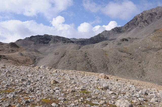
Most of the year there are snow fields that can usually be walked without problems but that are sometimes slippery during the descent. Good hiking shoes are an absolute must. With general snow you can only undertake this hike with the right equipment and experience.