This walk gives you so much variety. Lakes, a spectacular waterfall, a beautiful view of the Cirque des Evettes surrounded by glaciers and last but not least the descend into the Gorge de la Reculaz.
Distance: 10 km.
Time: 4h30.
Grade: Difficult.
Type: Circular.
Gps Track: Yes.
Route description: Yes.
Wheelchair: Not suitable.
Dog: Not recommended.
Height gain: 526 meters.
Trail: 100% unpaved.
Marking: Sign posts.
Hiking shoes recommended.
Advertisement.
Gorge de la Reculaz.
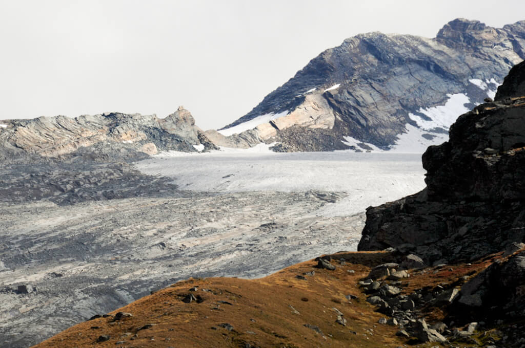
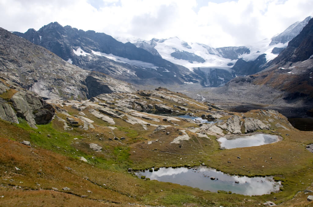
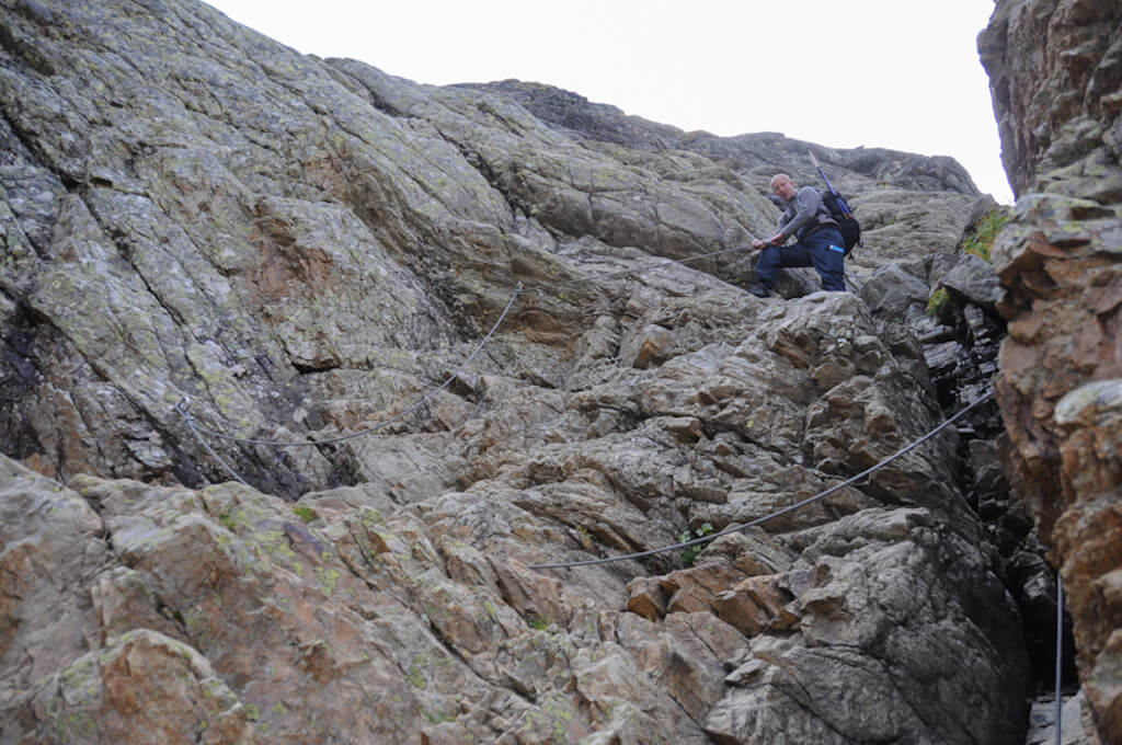
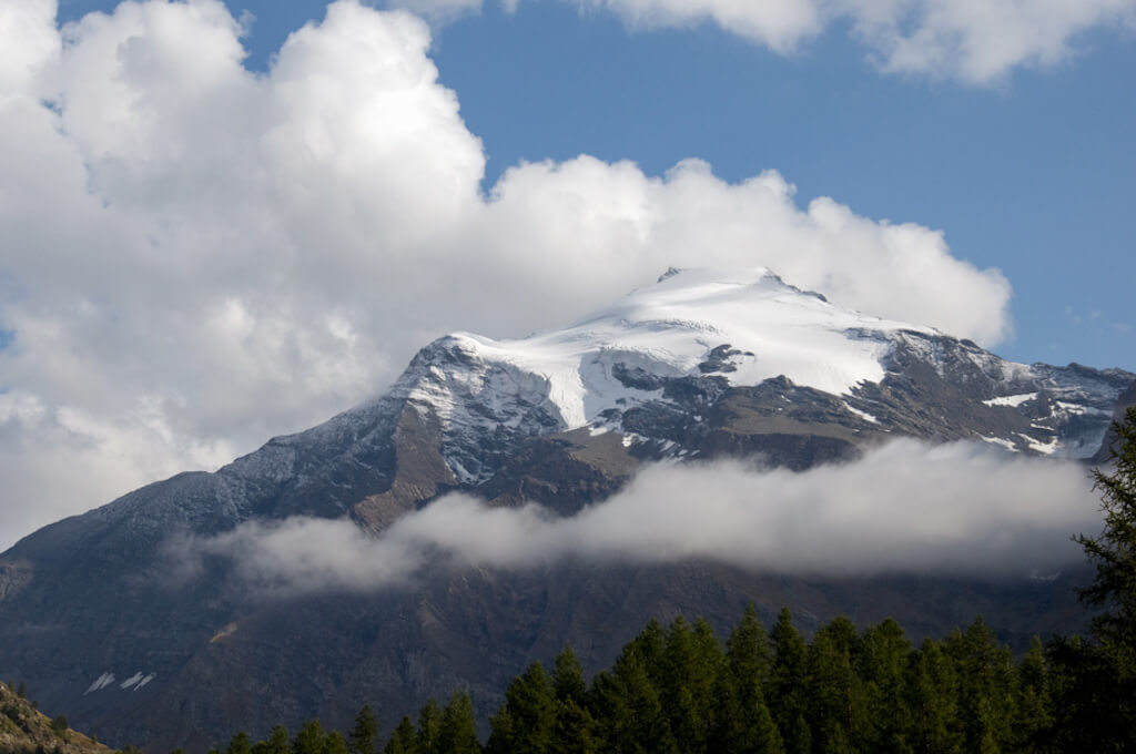
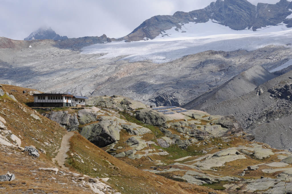
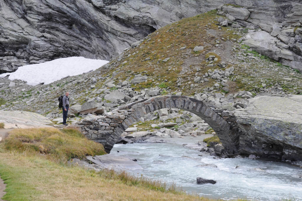
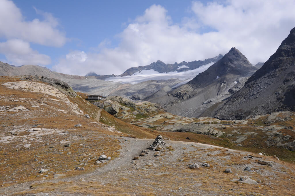
The walk goes to the col des Evettes where you get a beautiful view of the Cirque des Evettes which is surrounded by the Pic Regaud (3232m), the Albaron (3637m), the Petite and Grande Ciamarella (3676m), the Pointe Tonini ( 3327m), the Pointe de Séa (3213m) and the Pointe de Bonneval (3320m). Then you can take a break on the terrace of the Refuge des Evettes and afterwards make a detour to the impressive waterfall of Reculaz. You return via the Sentier à John which descends, with a few secured passages, into the Gorge de la Reculaz. You follow the Ruisseau de la Reculaz, which flows deep into the gorge to the plain near La Tronna to return to the Pont Saint-Clair.

Download PDF for route description.
Marking is not always clear.
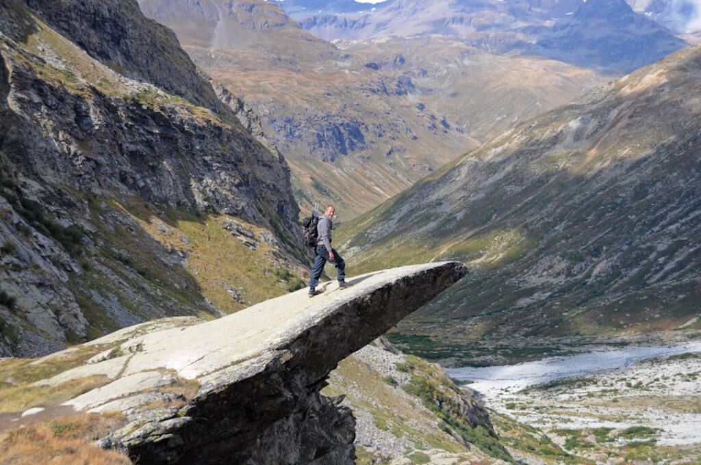
This walk is not recommended for people with vertigo because during the steep descent in the Gorge de la Reculaz you have two passages secured with cables.
POI 1 - Bonneval-sur-Arc.
This typical and authentic Savoie village is the highest of the Maurienne and has beautiful old stone houses with slate roofs and wooden balconies. The hamlet of Écot, one of the highest in France at 2000 meters, is also worth a visit with its beautiful stone slate houses.
Tourist Office.
www.maurienne-tourisme.com