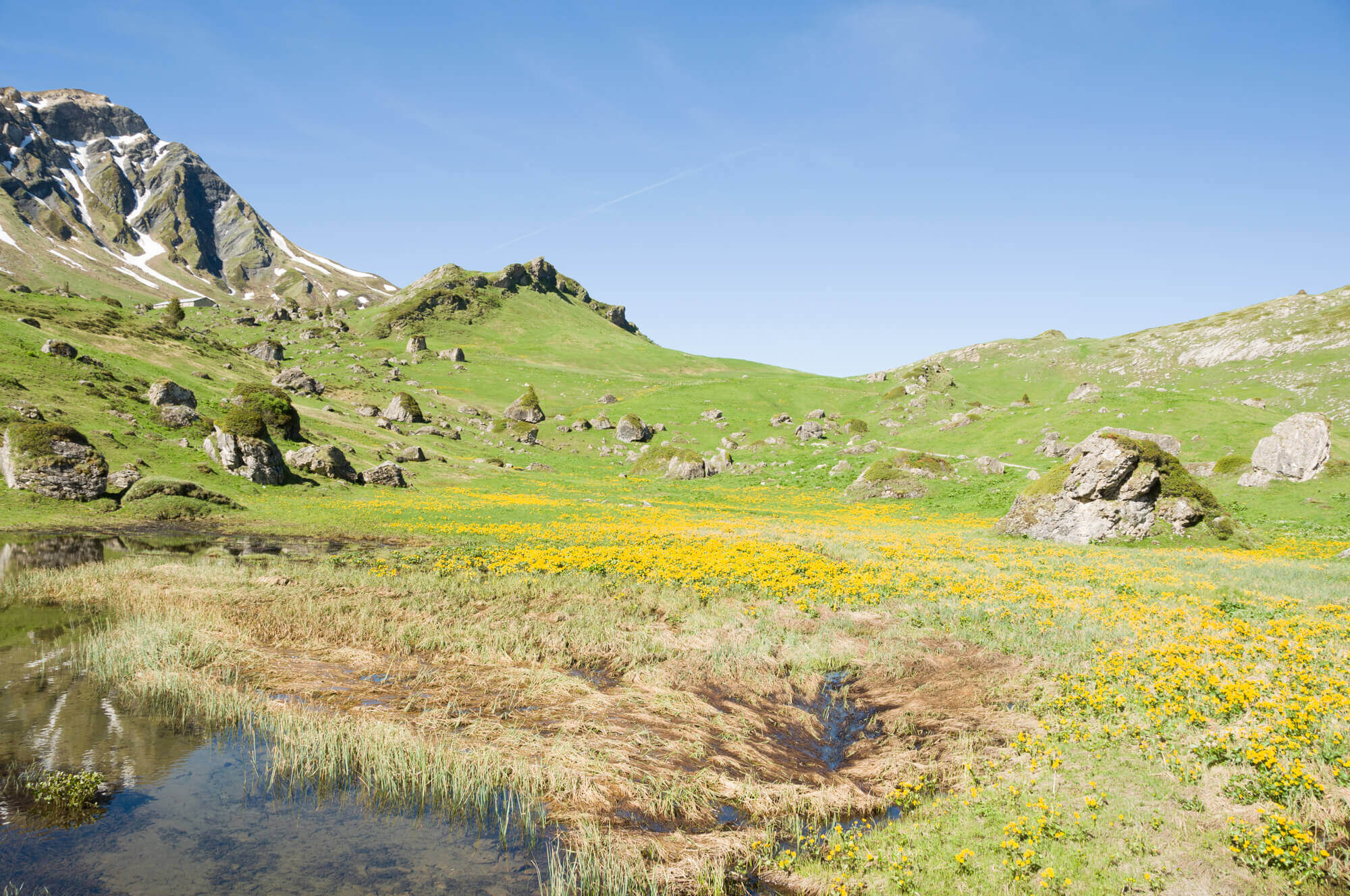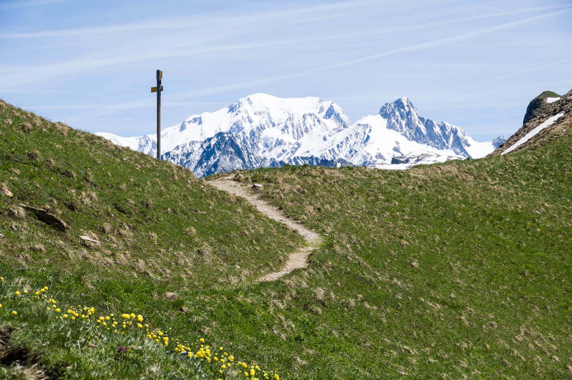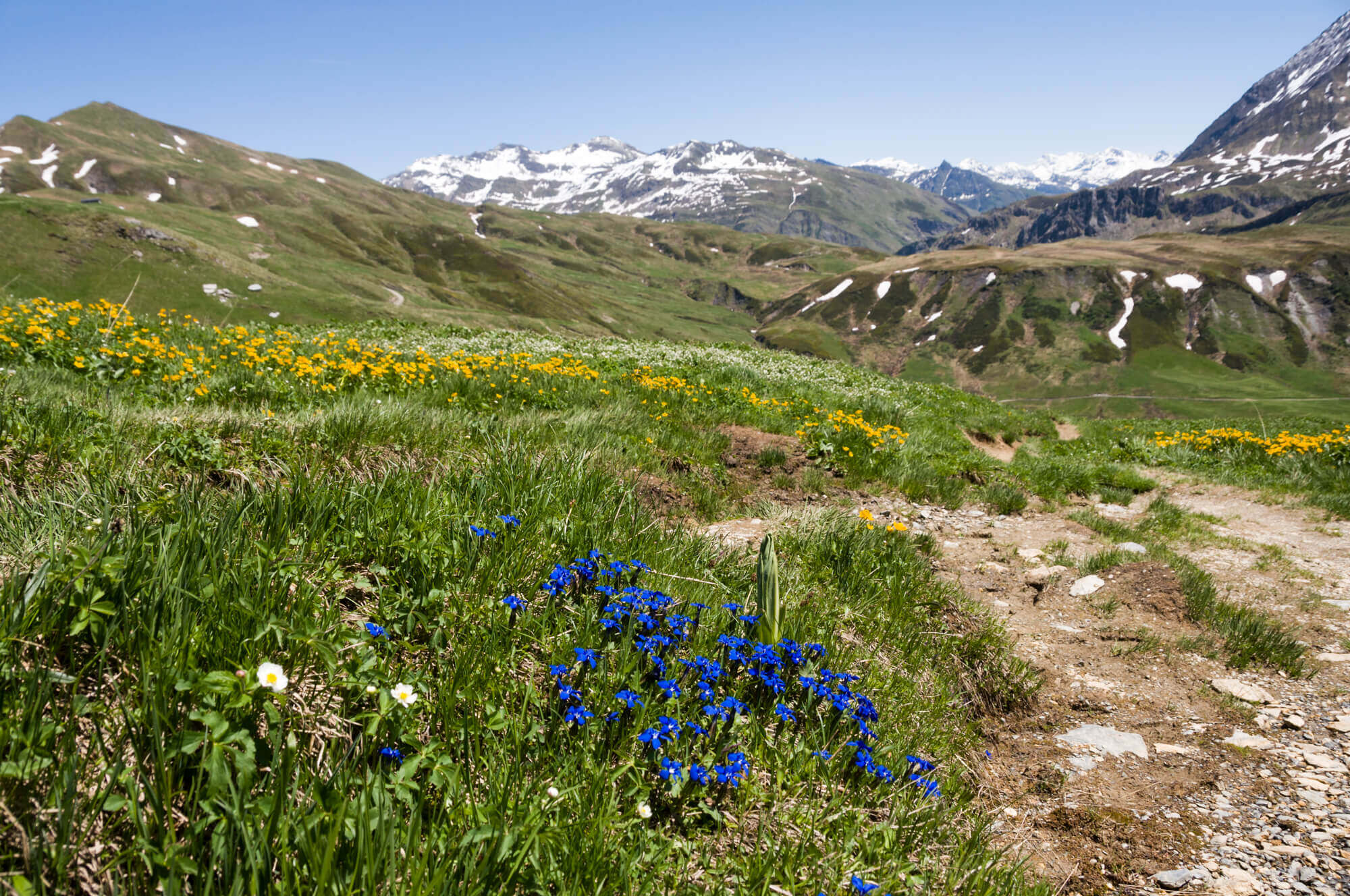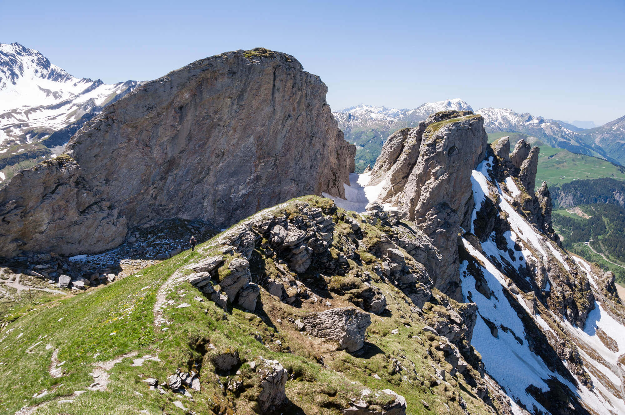
Le Rocher du Vent is undoubtedly on the postcard of the reservoir of Roselend. You go from the Plan de la Lai through beautiful alpine meadows to this well known rock that looks like a pyramid and through the canyon, but has the wind really formed this canyon?
Distance: 7 km.
Time: 3h30.
Grade: Moderate.
Type: back and forth.
Gps Track: Yes.
Route description: Yes.
Wheelchair: Not suitable.
Dog: Allowed.
Height gain: 577 meters.
Trail: 100% unpaved.
Marking: Partly on panels.
Hiking shoes recommended.
Advertisement.
Roc du Vent.
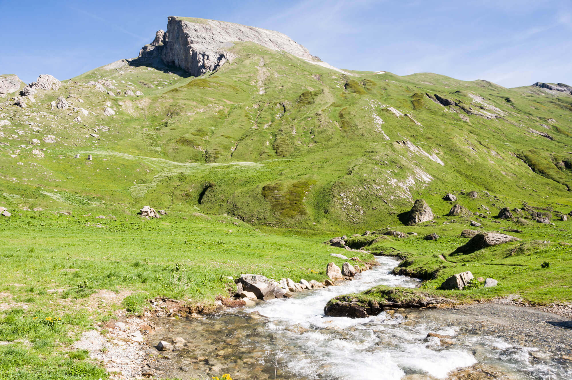
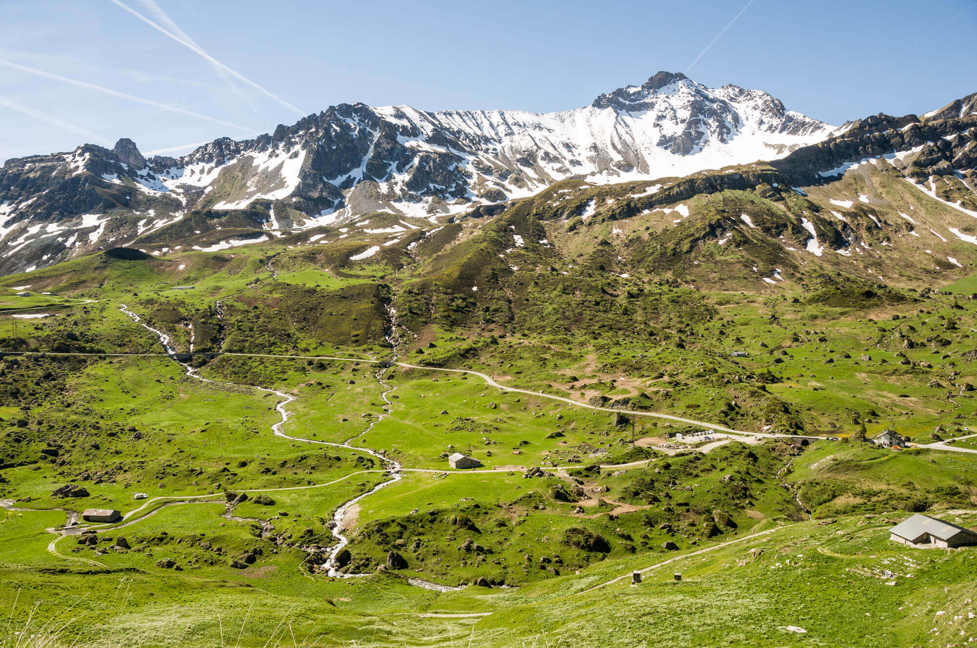
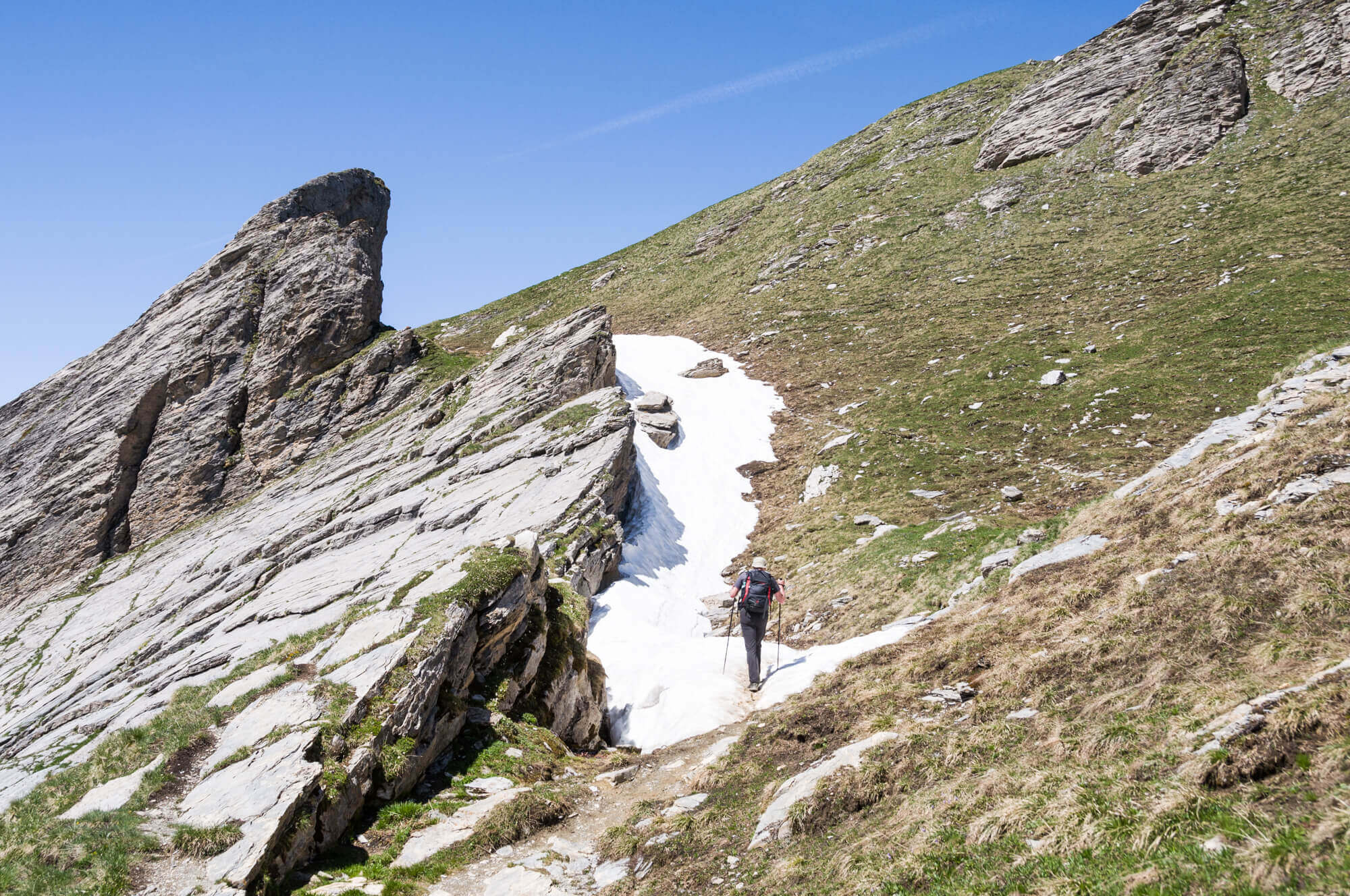
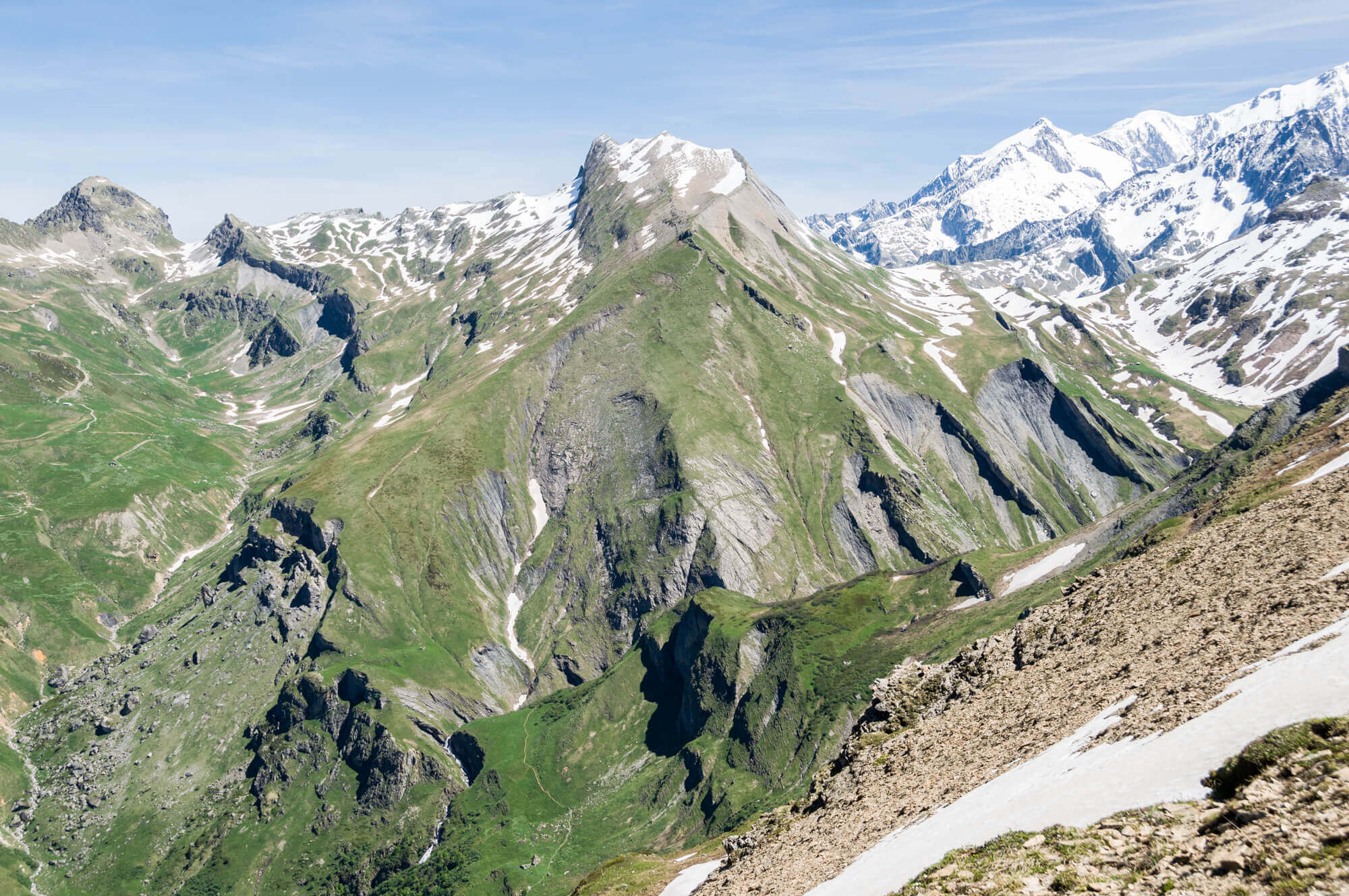
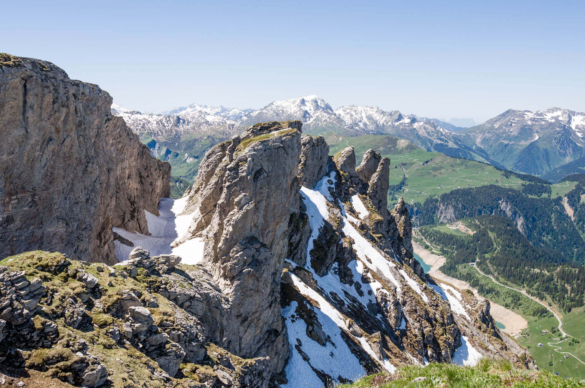
On the way it is pure enjoyment of the beautiful views and once you get to the col near the Roc du Vent you get a very nice view on the other side of the valley and on the reservoir of Gittaz. You now follow the ridge up to the Canyon du Roc du Vent, this narrow gorge is a deep freezer full of snow. You go through the Canyon and then get a very nice view of the reservoirs of Roselend and Gittaz. You return along the same route but if there is no snow you can return via a tunnel. In short, this route is a must do if you are in the area.

Download PDF for route description.
The route via the tunnel can only be done from the beginning of July untill October when there is no more snow! Take a flashlight and watch your head because the tunnel is quite low in some places.
Just go through the canyon to the viewpoint if the snow conditions allow it, do not take unnecessary risks!
The route via the tunnel is not recommended for people with vertigo.
POI 1 - Rocher du Vent.
The tunnel was dug in 1936 by Spanish refugees for the project of the route of the "Grande Traversée des Alpes". This road had to pass through the Cormet de Roselend but the project was stopped and today it is still this tunnel from where you can reach the southern flank of the mountain.
No additional information.