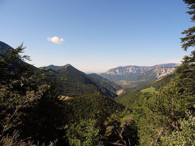
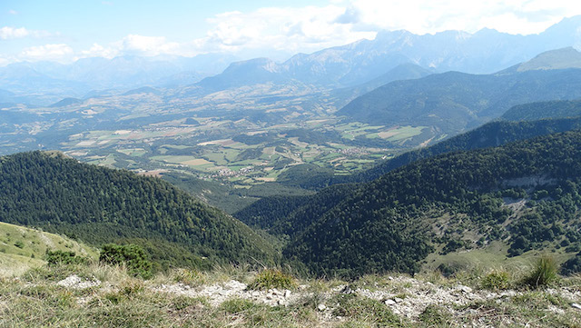
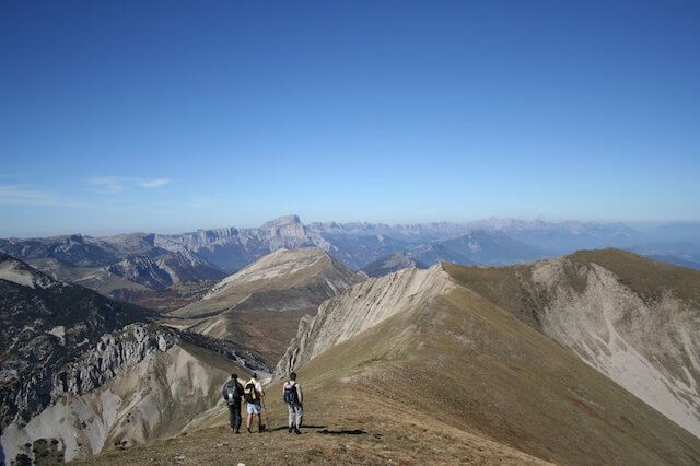
This hike goes to the top of Mount Barral which with its 1903 meters is a fantastic vantage point to admire the Dévoluy massif with the Grand Ferrand and the Aiguilles de Lus in the foreground.
Distance: 6 km.
Time: 2h30.
Grade: Moderate.
Type: Circular.
Gps Track: Yes.
Route description: Yes.
Wheelchair: Not suitable.
Dog: From May to October dogs not allowed.
Height gain: Flat.
Trail: 100% unpaved.
Marking: Green-Yellow and GR93.
Hiking shoes recommended.
Advertisement.
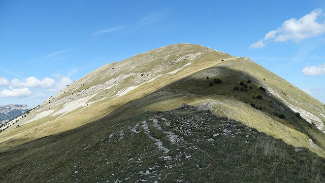
Crête de Jiboui.
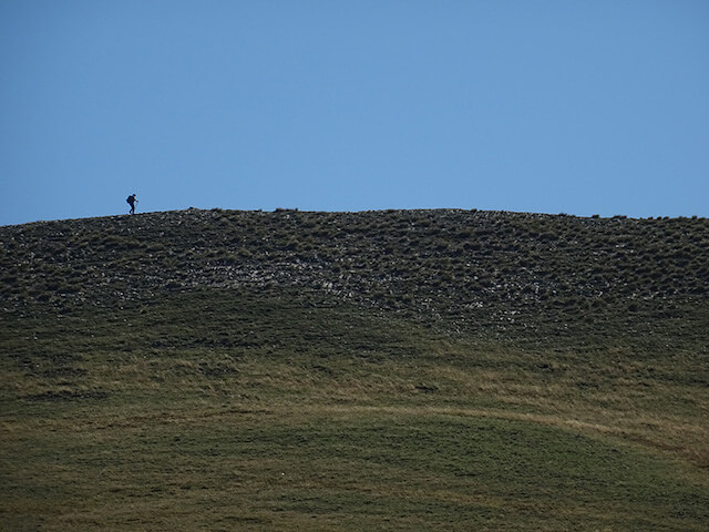
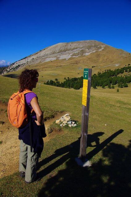
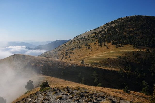
From the parking lot you first walk over the tunnel that forms the border between the departments of Isère and Drôme. After crossing Pré Rond, the path becomes narrower and you gradually climb over the ridge to the top of Mont Barral. There you can enjoy the beautiful views. Then you walk on the Crête de Jiboui where you can enjoy the beautiful alpine meadows. You follow the GR93 for a while and then return to the starting point.
Download PDF for route description.
From May to October you can come across herds in this area that are guarded by large white mountain dogs called 'Patou'. Never walk straight through a herd but always with a big curve around it. These mountain dogs are originally from the Pyrenees and are used to protect herds. Stay calm when the dog comes to identify you and do not make sudden movements.
POI 1 - Mont Barral.
From the top of Mont Barral you have a 360 ° panorama. In the north you can see the Mont Aiguille and the Grand Veymont, in the southwest you look at the Diois and in the southeast lies the Dévoluy chain where the beautiful chain Aiguilles de Lus, with its most important summit the Grand Ferrand (2758 m), stands out immediately.
No additional information.