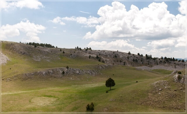
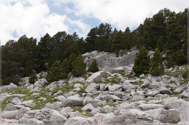
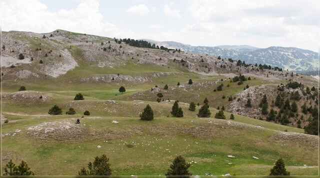
This beautiful walk offers you one of the most beautiful panoramas on the north side of the Les Hautes Plateaux nature reserve with attention being drawn to the Grand Veymont. For this walk you need some sense of orientation to go through the chaotic landscape via Pré Peyret to the old Roman quarries in the beautiful valley of Queyrie.
Distance: 18 km.
Time: 6h00.
Grade: Heavy.
Type: Back and forth.
Gps Track: Yes.
Route description: Yes.
Wheelchair: Not suitable.
Dog: Not allowed.
Height gain: 734 meters.
Trail: 100% unpaved.
Marking: Partial GR93.
Hiking shoes recommended.
Advertisement.
L'Arbre Taillé.
From the starting point you walk through the sports center and then through a stately beech avenue of the castle domain. You go around the sports fields and through the built-up area until you turn into an unpaved road in Nieuwstraat. You are now going through the beautiful nature of the valley of the Aa. The path bends to the left and you go in the direction of the hamlet of Sassenhout. Here you cross the road Sassenhout. You now go through a meadow and arable landscape and a mixed forest in the direction of the old farming hamlet of Berkelheide. Then you follow the winding Bosbeek and through an open landscape to the hamlet of Vispluk. Here you walk into the domain of the castle of Vorsel. The castle, called the Borrekens, is a real gem. The stately beech avenues of the castle domain are a nice ending to this versatile walk.

Download PDF for route description.
Sense for orientation.
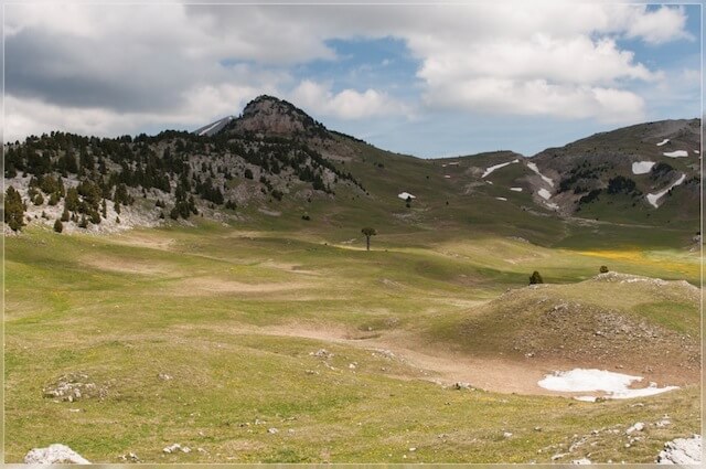
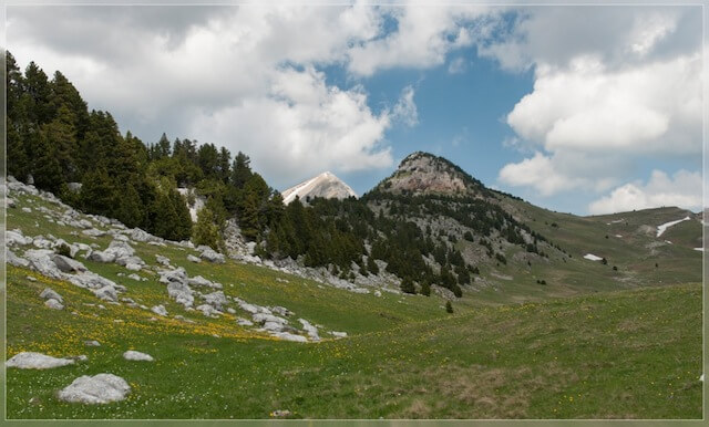
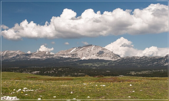
POI 1 - Hauts Plateaux du Vercors.
The Hauts Plateaux du Vercors is a plateau in the Vercors, a mountain region on the border of the French departments of Isère, Drôme and Hautes-Alpes. The plateau is 17,000 hectares and the average height is around 1500 m. The highest point is the Grand Veymont (2341 m). The plateau has been protected since 1985 as a nature reserve (Réserve Naturel des Hauts-Plateaux) which is part of the much larger Vercors Regional Nature Park. The plateau is known as the most uninhabited place in France. There are no villages or permanent residence and no paved roads within the boundaries of the reserve. It can only be reached on foot and traversed after an hour-long climb. It is therefore an attraction for GR walkers and nature lovers.
No additional information.
POI 2 - Roman quarries.
The oldest evidence of human presence on the plateau dates from the beginning of our era. Stones from the Roman quarry on the Plaine de la Queyrie, south of the Grand Veymont, were used in the construction of Dea Augusta, the current Die, between the first and third centuries (after Chr.). The stones and columns that were carved with great difficulty here, had to be transported another 18 km far and 1200 meters steep downhill to get them to the construction site. The quarry is located on an old pedestrian road that forms the shortest connection between Grenoble and Die, and has been used frequently by traders over time. This road is also called the Route du Vin, the wine route. The name of the nearby Pas de la Selle (salt pass) also refers to that trade route, while the Pas des Bachassons (pass of the water troughs) leads to the only source in this area.
No additional information.